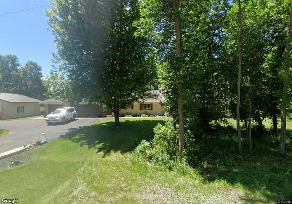
10853 Platt Ave NW South Haven, MN 55382
Estimated Value: $425,000 - $550,000
3
Beds
2
Baths
2,104
Sq Ft
$235/Sq Ft
Est. Value
About This Home
This home is located at 10853 Platt Ave NW, South Haven, MN 55382 and is currently estimated at $493,439, approximately $234 per square foot. 10853 Platt Ave NW is a home located in Wright County with nearby schools including Annandale Elementary School, Annandale Middle School, and Annandale Senior High School.
Ownership History
Date
Name
Owned For
Owner Type
Purchase Details
Closed on
Nov 5, 2021
Sold by
Dick Steven P and Roller Dick Laurie
Bought by
Roller Dick Laurie A and Dick Steven P
Current Estimated Value
Purchase Details
Closed on
Sep 10, 2020
Sold by
Dick Steven P and Roller Dick Laurie
Bought by
Dick Steven P and Roller Dick Laurie
Home Financials for this Owner
Home Financials are based on the most recent Mortgage that was taken out on this home.
Original Mortgage
$114,500
Outstanding Balance
$91,763
Interest Rate
2.9%
Mortgage Type
New Conventional
Estimated Equity
$401,676
Purchase Details
Closed on
Jun 22, 1998
Sold by
Bartlett Merritt
Bought by
Dick Steven
Create a Home Valuation Report for This Property
The Home Valuation Report is an in-depth analysis detailing your home's value as well as a comparison with similar homes in the area
Home Values in the Area
Average Home Value in this Area
Purchase History
| Date | Buyer | Sale Price | Title Company |
|---|---|---|---|
| Roller Dick Laurie A | -- | None Available | |
| Dick Steven P | -- | Custom Title Services | |
| Dick Steven | $13,100 | -- |
Source: Public Records
Mortgage History
| Date | Status | Borrower | Loan Amount |
|---|---|---|---|
| Open | Dick Steven P | $114,500 |
Source: Public Records
Tax History Compared to Growth
Tax History
| Year | Tax Paid | Tax Assessment Tax Assessment Total Assessment is a certain percentage of the fair market value that is determined by local assessors to be the total taxable value of land and additions on the property. | Land | Improvement |
|---|---|---|---|---|
| 2025 | $3,058 | $451,500 | $107,700 | $343,800 |
| 2024 | $3,092 | $426,500 | $103,300 | $323,200 |
| 2023 | $2,738 | $436,800 | $103,300 | $333,500 |
| 2022 | $2,830 | $356,800 | $71,500 | $285,300 |
| 2021 | $2,936 | $325,800 | $66,000 | $259,800 |
| 2020 | $2,946 | $324,600 | $66,000 | $258,600 |
| 2019 | $2,714 | $317,300 | $0 | $0 |
| 2018 | $2,166 | $282,600 | $0 | $0 |
| 2017 | $2,062 | $229,500 | $0 | $0 |
| 2016 | $2,004 | $0 | $0 | $0 |
| 2015 | $1,910 | $0 | $0 | $0 |
| 2014 | -- | $0 | $0 | $0 |
Source: Public Records
Map
Nearby Homes
- 10848 Porter Ave NW
- 16698 109th St NW
- 10368 Oliver Ave NW
- 14XXX County Road 44
- 10399 Reardon Ave NW
- 13943 102nd St NW
- 13934 101st St NW
- 8537 Pittman Ave NW
- 0 80th St NW
- 13496 Campfire Cir
- 2060 Clearwater Forest Dr
- 125 Cedar St SE
- 148 Cedar St SE
- 118 Cedar St SE
- 847 Walnut Ave SE
- 7327 Quinn Ave NW
- South Tract A TBD County Road 45
- North Tract B TBD County Road 45
- TBD-XXC Pilger Ave NW
- 451 Linden Ave E
- 15717 109th St NW
- 15656 105th St NW
- 15776 109th St NW
- 10828 Platt Ave NW
- 15752 109th St NW
- 10801 Platt Ave NW
- 15722 109th St NW
- 15683 109th St NW
- 10856 Pleason Ave NW
- 10884 Pleason Ave NW
- 10836 Pleason Ave NW
- 15704 109th St NW
- 165XX 107th St NW
- 15XXX 107th St NW
- 15862 109th St NW
- 15862 15862 109th-Street-nw
- 15678 15678 109th-Street-nw
- 15646 109th St NW
- 15615 109th St NW
- 15678 109th St NW