1086 Gorham Pond Rd Dunbarton, NH 03046
Estimated Value: $741,000 - $1,024,000
3
Beds
3
Baths
2,100
Sq Ft
$391/Sq Ft
Est. Value
About This Home
This home is located at 1086 Gorham Pond Rd, Dunbarton, NH 03046 and is currently estimated at $821,551, approximately $391 per square foot. 1086 Gorham Pond Rd is a home located in Merrimack County with nearby schools including Dunbarton Elementary School, Bow Memorial School, and Bow High School.
Ownership History
Date
Name
Owned For
Owner Type
Purchase Details
Closed on
Aug 31, 2006
Sold by
Boisvert Arthur and Boisvert Kathleen
Bought by
Jacques Timothy D and Jacques Jessica E
Current Estimated Value
Create a Home Valuation Report for This Property
The Home Valuation Report is an in-depth analysis detailing your home's value as well as a comparison with similar homes in the area
Home Values in the Area
Average Home Value in this Area
Purchase History
| Date | Buyer | Sale Price | Title Company |
|---|---|---|---|
| Jacques Timothy D | $132,000 | -- | |
| Jacques Timothy D | $132,000 | -- |
Source: Public Records
Mortgage History
| Date | Status | Borrower | Loan Amount |
|---|---|---|---|
| Open | Jacques Timothy D | $318,500 | |
| Closed | Jacques Timothy D | $316,000 | |
| Closed | Jacques Timothy D | $228,100 | |
| Closed | Jacques Timothy D | $301,500 |
Source: Public Records
Tax History Compared to Growth
Tax History
| Year | Tax Paid | Tax Assessment Tax Assessment Total Assessment is a certain percentage of the fair market value that is determined by local assessors to be the total taxable value of land and additions on the property. | Land | Improvement |
|---|---|---|---|---|
| 2024 | $12,211 | $462,900 | $97,300 | $365,600 |
| 2023 | $11,836 | $462,900 | $97,300 | $365,600 |
| 2022 | $10,637 | $462,900 | $97,300 | $365,600 |
| 2021 | $10,836 | $462,900 | $97,300 | $365,600 |
| 2020 | $10,247 | $459,900 | $97,300 | $362,600 |
| 2018 | $7,935 | $352,200 | $78,400 | $273,800 |
| 2017 | $8,336 | $325,500 | $78,400 | $247,100 |
| 2016 | $7,805 | $325,500 | $78,400 | $247,100 |
| 2015 | $7,679 | $325,500 | $78,400 | $247,100 |
| 2014 | $8,281 | $391,700 | $78,400 | $313,300 |
| 2013 | $8,230 | $391,700 | $78,400 | $313,300 |
Source: Public Records
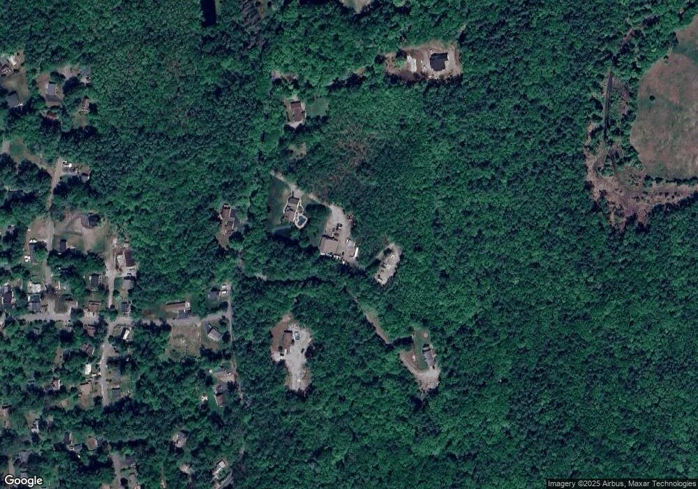
Map
Nearby Homes
- 3 Stephanie Rd
- 0 Fairway Dr Unit 11
- 22 Fairway Dr
- 15 Robert Rogers Rd
- 78 Rangeway Rd
- 1003 School St
- 88 Saunders Rd
- 849 River Rd
- 174 S Stark Hwy Unit 13
- 174 S Stark Hwy Unit 1
- 174 S Stark Hwy Unit 23
- 602 Black Brook Rd
- 0 Huntington Hill Rd Unit 69
- 93 Daniels Rd
- 77 Gould Rd
- 103 Renshaw Rd
- 45 Range Rd
- 624 S Stark Hwy
- 16 Palmer Rd
- 99 Elm St
- 1089 Gorham Pond Rd
- 1100 Gorham Pond Rd
- 1097 Gorham Pond Rd
- 1078 Gorham Pond Rd
- 1092 Gorham Pond Rd
- 2 Gorham Dr
- 3 Gorham Dr
- 1101 Gorham Pond Rd
- lot 6 Gorham Dr
- 1103 Gorham Pond Rd
- 4 Gary Rd
- 7 Gorham Dr
- 1111 Gorham Pond Rd
- 10 Gary Rd
- 12 Gary Rd
- K1-05-06 Gorham Dr
- 3 Gary Rd
- 7 Stephanie Rd
- 9 Gorham Dr
- 14 Gary Rd