10864 Loop Rd Soddy Daisy, TN 37379
Estimated Value: $250,000 - $565,000
--
Bed
1
Bath
1,872
Sq Ft
$216/Sq Ft
Est. Value
About This Home
This home is located at 10864 Loop Rd, Soddy Daisy, TN 37379 and is currently estimated at $404,699, approximately $216 per square foot. 10864 Loop Rd is a home located in Hamilton County with nearby schools including Ivy Academy Inc and New South Daisy Christian Academy.
Ownership History
Date
Name
Owned For
Owner Type
Purchase Details
Closed on
Sep 17, 2025
Sold by
Bell Glenn Vance
Bought by
Bell Glenn Vance and Bell Jessica Leanne
Current Estimated Value
Purchase Details
Closed on
Jun 3, 2005
Sold by
Hales Rickey L
Bought by
Hales Gail I and Padgett Gail I
Purchase Details
Closed on
Aug 3, 2001
Sold by
Curvin Gail I and Padgett Gail I
Bought by
Hales Rickey L and Hales Gail I
Home Financials for this Owner
Home Financials are based on the most recent Mortgage that was taken out on this home.
Original Mortgage
$121,000
Interest Rate
7.19%
Purchase Details
Closed on
Jul 13, 2000
Sold by
Curvin Charles E
Bought by
Padgett Gail I and Curvin Gail L
Purchase Details
Closed on
Jun 26, 1996
Sold by
Davis Robert
Bought by
Parker Timothy R
Purchase Details
Closed on
Mar 27, 1995
Sold by
Roger Goad
Bought by
Curvin Charles E and Curvin Gail I
Create a Home Valuation Report for This Property
The Home Valuation Report is an in-depth analysis detailing your home's value as well as a comparison with similar homes in the area
Home Values in the Area
Average Home Value in this Area
Purchase History
| Date | Buyer | Sale Price | Title Company |
|---|---|---|---|
| Bell Glenn Vance | -- | None Listed On Document | |
| Bell Glenn Vance | -- | None Listed On Document | |
| Hales Gail I | -- | -- | |
| Hales Rickey L | -- | -- | |
| Padgett Gail I | -- | -- | |
| Parker Timothy R | $6,500 | -- | |
| Curvin Charles E | -- | -- |
Source: Public Records
Mortgage History
| Date | Status | Borrower | Loan Amount |
|---|---|---|---|
| Previous Owner | Hales Rickey L | $121,000 |
Source: Public Records
Tax History Compared to Growth
Tax History
| Year | Tax Paid | Tax Assessment Tax Assessment Total Assessment is a certain percentage of the fair market value that is determined by local assessors to be the total taxable value of land and additions on the property. | Land | Improvement |
|---|---|---|---|---|
| 2024 | $1,560 | $69,725 | $0 | $0 |
| 2023 | $2,347 | $69,725 | $0 | $0 |
| 2022 | $2,347 | $69,725 | $0 | $0 |
| 2021 | $2,347 | $69,725 | $0 | $0 |
| 2020 | $2,484 | $60,100 | $0 | $0 |
| 2019 | $2,484 | $60,100 | $0 | $0 |
| 2018 | $2,484 | $60,100 | $0 | $0 |
| 2017 | $2,484 | $60,100 | $0 | $0 |
| 2016 | $2,365 | $0 | $0 | $0 |
| 2015 | $2,365 | $57,225 | $0 | $0 |
| 2014 | $2,365 | $0 | $0 | $0 |
Source: Public Records
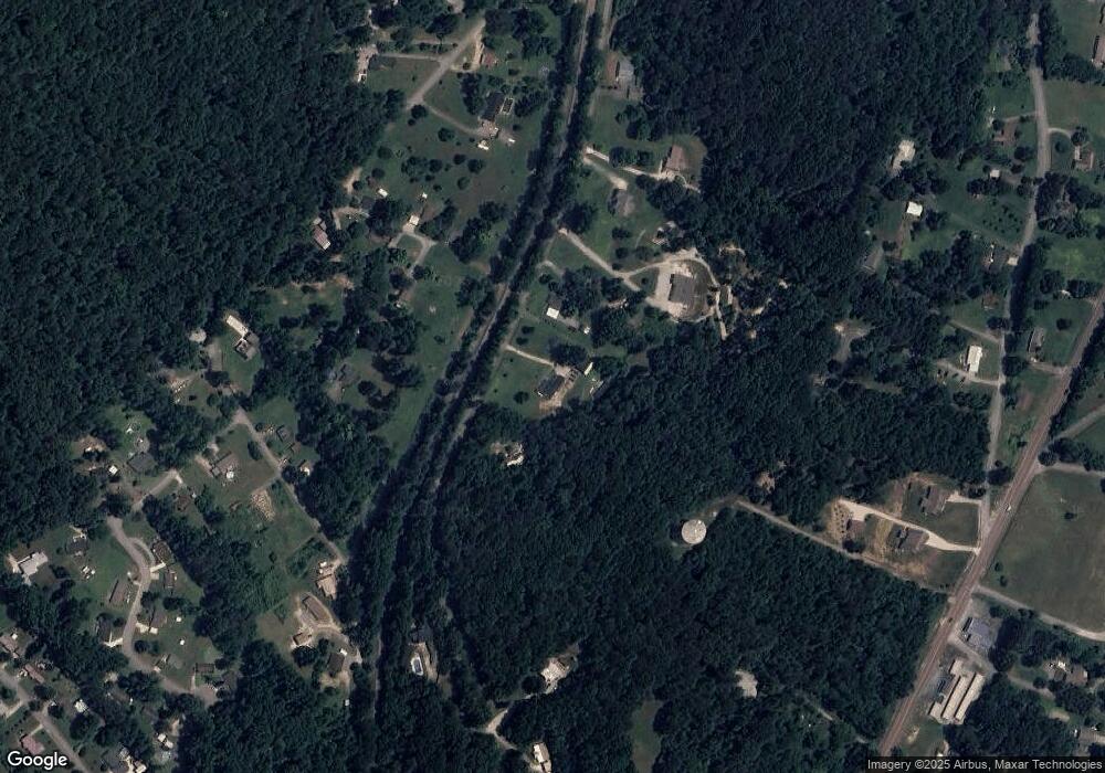
Map
Nearby Homes
- 13212 Dayton Pike
- 11998 Dayton Pike
- 203 Northern Trails Dr
- 201 Northern Trails Dr
- 168 Turner Rd
- 11138 Hallett St
- 0 Hallett St
- 11008 Lovell Rd
- 110 Mountainview Dr
- 110 Mountain View Dr
- 11213 Dayton Pike
- 11219 Dayton Pike
- 11221 Dayton Pike
- 11326 Old Dayton Pike
- 345 Ducktown St
- 11317 Cape View
- 325 Durham St
- 841 Sluder Ln
- 10280 Card Rd
- 191 Depot St