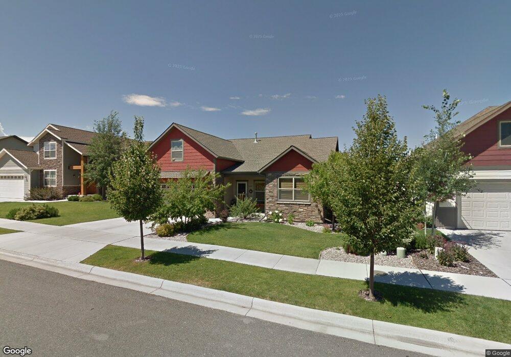
1087 Harmon Way Bozeman, MT 59718
Harvest Creek NeighborhoodEstimated Value: $693,817 - $760,000
3
Beds
2
Baths
2,264
Sq Ft
$321/Sq Ft
Est. Value
About This Home
This home is located at 1087 Harmon Way, Bozeman, MT 59718 and is currently estimated at $725,954, approximately $320 per square foot. 1087 Harmon Way is a home located in Gallatin County with nearby schools including Emily Dickinson School, Chief Joseph Middle School, and Gallatin High School.
Ownership History
Date
Name
Owned For
Owner Type
Purchase Details
Closed on
Jul 12, 2011
Sold by
Cannon Lynn E and Cannon Karen M
Bought by
Cannon Lynn E and Cannon Karen M
Current Estimated Value
Purchase Details
Closed on
Oct 24, 2005
Sold by
Southwest Montana Building Industry Assn
Bought by
Cannon Lynn and Cannon Karen
Purchase Details
Closed on
Feb 24, 2005
Sold by
Shea Jeremy D
Bought by
Southwest Montana Building Industry Assn
Home Financials for this Owner
Home Financials are based on the most recent Mortgage that was taken out on this home.
Original Mortgage
$271,902
Interest Rate
5.73%
Mortgage Type
Construction
Create a Home Valuation Report for This Property
The Home Valuation Report is an in-depth analysis detailing your home's value as well as a comparison with similar homes in the area
Home Values in the Area
Average Home Value in this Area
Purchase History
| Date | Buyer | Sale Price | Title Company |
|---|---|---|---|
| Cannon Lynn E | -- | None Available | |
| Cannon Lynn | -- | Security Title Company | |
| Southwest Montana Building Industry Assn | -- | Stc |
Source: Public Records
Mortgage History
| Date | Status | Borrower | Loan Amount |
|---|---|---|---|
| Previous Owner | Southwest Montana Building Industry Assn | $271,902 |
Source: Public Records
Tax History
| Year | Tax Paid | Tax Assessment Tax Assessment Total Assessment is a certain percentage of the fair market value that is determined by local assessors to be the total taxable value of land and additions on the property. | Land | Improvement |
|---|---|---|---|---|
| 2025 | $3,347 | $724,300 | $0 | $0 |
| 2024 | $4,708 | $707,200 | $0 | $0 |
| 2023 | $4,554 | $707,200 | $0 | $0 |
| 2022 | $3,198 | $417,100 | $0 | $0 |
| 2021 | $3,530 | $417,100 | $0 | $0 |
| 2020 | $3,302 | $386,500 | $0 | $0 |
| 2019 | $3,378 | $386,500 | $0 | $0 |
| 2018 | $3,171 | $336,100 | $0 | $0 |
| 2017 | $3,134 | $336,100 | $0 | $0 |
| 2016 | $2,829 | $299,700 | $0 | $0 |
| 2015 | $2,832 | $299,700 | $0 | $0 |
| 2014 | $2,991 | $186,401 | $0 | $0 |
Source: Public Records
Map
Nearby Homes
- 3263 Annie St
- 988 Meagher Ave
- 887 Hanson St
- 8 N Eldorado Ave
- 357 Swayback Ln
- 330 Swayback Ln
- 111 White Horse Loop
- 1640 New Holland Dr Unit A
- 3035 Breeze Ln Unit B
- 3055 Breeze Ln Unit B
- 3108 Oliver St
- 3879 Annie St
- 1140 N 27th Ave Unit 2
- 488 Meriwether Ave
- 515 Michael Grove Ave Unit 60
- 515 Michael Grove Ave Unit 42
- 454 Meriwether Ave
- TBD Vaquero Pkwy
- 3447 Monida St
- 894 Rogers Way
- 1115 Harmon Way
- 1065 Harmon Way
- 1080 New Holland Dr
- 1126 New Holland Dr
- 1131 Harmon Way
- Lot 12 Harmon Way
- 1036 Harmon Way
- TBD Harmon Way
- 1094 Harmon Way
- 1043 Harmon Way
- 1068 New Holland Dr
- 1072 Harmon Way
- 1124 Harmon Way
- 1044 New Holland Dr
- 1159 Harmon Way
- 1105 New Holland Dr
- 1164 New Holland Dr
- 1146 Harmon Way
- 1021 Harmon Way
- 1093 Springbrook Ave
Your Personal Tour Guide
Ask me questions while you tour the home.