Estimated Value: $59,000 - $549,000
2
Beds
2
Baths
1,808
Sq Ft
$112/Sq Ft
Est. Value
About This Home
This home is located at 10870 N 4010 Rd, Wann, OK 74083 and is currently estimated at $201,674, approximately $111 per square foot. 10870 N 4010 Rd is a home located in Washington County with nearby schools including Dewey Elementary School, Dewey Middle School, and Dewey High School.
Ownership History
Date
Name
Owned For
Owner Type
Purchase Details
Closed on
Dec 3, 2025
Sold by
Blevins Daniel J
Bought by
Clark Christine and Clark Bobby
Current Estimated Value
Purchase Details
Closed on
Oct 1, 2020
Sold by
Upton Vickie L
Bought by
Roecker Tyler and Hinkie Lydia R
Purchase Details
Closed on
May 26, 2004
Sold by
Upton Vickie L
Bought by
Upton Vickie L
Purchase Details
Closed on
Jun 7, 1999
Sold by
Horinek David J
Purchase Details
Closed on
Apr 30, 1996
Sold by
Burrows Chet Roy and Burrows Judy A
Create a Home Valuation Report for This Property
The Home Valuation Report is an in-depth analysis detailing your home's value as well as a comparison with similar homes in the area
Home Values in the Area
Average Home Value in this Area
Purchase History
| Date | Buyer | Sale Price | Title Company |
|---|---|---|---|
| Clark Christine | $9,500 | None Listed On Document | |
| Roecker Tyler | $40,000 | Old Republic Natl Ttl Ins Co | |
| Upton Vickie L | -- | -- | |
| -- | $62,000 | -- | |
| -- | $49,500 | -- |
Source: Public Records
Tax History Compared to Growth
Tax History
| Year | Tax Paid | Tax Assessment Tax Assessment Total Assessment is a certain percentage of the fair market value that is determined by local assessors to be the total taxable value of land and additions on the property. | Land | Improvement |
|---|---|---|---|---|
| 2025 | $164 | $1,627 | $567 | $1,060 |
| 2024 | $464 | $4,868 | $567 | $4,301 |
| 2023 | $464 | $4,868 | $567 | $4,301 |
| 2022 | $454 | $4,868 | $567 | $4,301 |
| 2021 | $461 | $4,868 | $567 | $4,301 |
| 2020 | $617 | $7,384 | $568 | $6,816 |
| 2019 | $610 | $7,384 | $568 | $6,816 |
| 2018 | $581 | $7,384 | $568 | $6,816 |
| 2017 | $597 | $7,384 | $568 | $6,816 |
| 2016 | $606 | $7,337 | $568 | $6,769 |
| 2015 | $585 | $7,123 | $568 | $6,555 |
| 2014 | $578 | $6,916 | $568 | $6,348 |
Source: Public Records
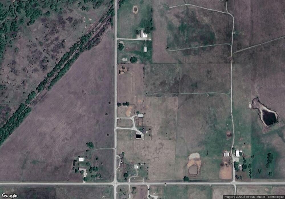
Map
Nearby Homes
- 5 N 3990 Rd
- 6 N 3990 Rd
- 8 N 3990 Rd
- 2 N 3990 Rd
- 9635 N 3990 Rd
- 0 W 1100 Rd
- 9680 N 3975 Rd
- N 3975th Rd
- 302 S Chestnut St
- 13545 N 3980 Rd
- 13699 N 3980 Rd
- 400 S Caney St
- 412 E Golden Ave
- 396950 W 1300 Rd
- 000 W 1000 Rd
- W W 1100 Rd
- 190Ac 4 Mile Rd
- 1051 N Caney St
- 0 Rural Route Unit 24764392
- 100 Cherokee St
- 10872 N 4010 Rd
- 401040 W 1100 Rd
- 400910 W 1100 Rd
- 10710 N 4010 Rd
- 401260 W 1100 Rd
- 401081 W 1100 Rd
- 401261 W 1100 Rd
- 10530 N 4010 Rd
- 401041 W 1100 Rd
- 400731 W 1100 Rd
- 401530 W 1100 Rd
- 400471 W 1100 Rd
- 400401 W 1100 Rd
- 400350 W 1100 Rd
- 400350 W 1100 Rd
- 401920 W 1100 Rd
- 10050 N 4010 Rd
- 401171 W 1000 Rd
- 10627 N 4020 Rd
- 401679 W 1100 Rd