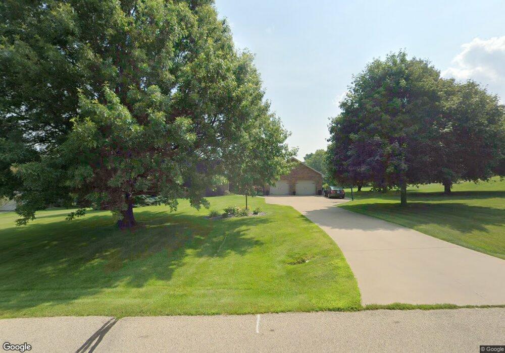
10872 Mockingbird Dr Peosta, IA 52068
Estimated Value: $474,000 - $506,000
4
Beds
6
Baths
1,696
Sq Ft
$287/Sq Ft
Est. Value
About This Home
This home is located at 10872 Mockingbird Dr, Peosta, IA 52068 and is currently estimated at $486,944, approximately $287 per square foot. 10872 Mockingbird Dr is a home located in Dubuque County with nearby schools including Peosta Elementary School, Drexler Middle - Intermediate School, and Western Dubuque High School.
Ownership History
Date
Name
Owned For
Owner Type
Purchase Details
Closed on
Aug 12, 2021
Sold by
Lembezeder John W and Lembezeder Jennifer C
Bought by
Burds Samuel and Burds Andrea
Current Estimated Value
Home Financials for this Owner
Home Financials are based on the most recent Mortgage that was taken out on this home.
Original Mortgage
$320,000
Outstanding Balance
$290,979
Interest Rate
2.9%
Mortgage Type
New Conventional
Estimated Equity
$195,965
Create a Home Valuation Report for This Property
The Home Valuation Report is an in-depth analysis detailing your home's value as well as a comparison with similar homes in the area
Home Values in the Area
Average Home Value in this Area
Purchase History
| Date | Buyer | Sale Price | Title Company |
|---|---|---|---|
| Burds Samuel | $400,000 | None Available |
Source: Public Records
Mortgage History
| Date | Status | Borrower | Loan Amount |
|---|---|---|---|
| Open | Burds Samuel | $320,000 |
Source: Public Records
Tax History Compared to Growth
Tax History
| Year | Tax Paid | Tax Assessment Tax Assessment Total Assessment is a certain percentage of the fair market value that is determined by local assessors to be the total taxable value of land and additions on the property. | Land | Improvement |
|---|---|---|---|---|
| 2025 | $4,470 | $473,300 | $75,800 | $397,500 |
| 2024 | $4,470 | $428,100 | $72,200 | $355,900 |
| 2023 | $4,284 | $428,100 | $72,200 | $355,900 |
| 2022 | $3,890 | $340,580 | $66,880 | $273,700 |
| 2021 | $3,890 | $329,320 | $66,880 | $262,440 |
| 2020 | $3,782 | $306,310 | $63,760 | $242,550 |
| 2019 | $3,634 | $306,310 | $63,760 | $242,550 |
| 2018 | $3,562 | $280,860 | $43,350 | $237,510 |
| 2017 | $3,434 | $280,860 | $43,350 | $237,510 |
| 2016 | $3,434 | $260,630 | $40,800 | $219,830 |
| 2015 | $3,406 | $260,630 | $40,800 | $219,830 |
| 2014 | $3,362 | $248,090 | $38,200 | $209,890 |
Source: Public Records
Map
Nearby Homes
- Lot 1 Thunder Hills Dr
- Lot 3 Thunder Hills Dr
- Lot 2 Thunder Hills Dr
- 10640 Eagle Ridge Ct
- 419 Angela Jean Cir
- 326 Solomia Ct
- 348 Solomia Ct
- 310 Solomia Ct
- 7630 Kaia Dr
- 277 Wyatt Dr
- lot 23 Thunder Valley Dr
- Lot 2 Thunder Valley Dr
- Lot 22 Thunder Valley Dr
- 10869 Cedar Ridge Ct
- Lot 93 Tagan Dr
- 175 Bryn Dr
- 8166 Tegan Dr
- 8165 Hugo Dr
- 8202 Hugo Dr
- 8122 Hugo Dr
- 10904 Mockingbird Dr
- 10846 Mockingbird Dr
- 10885 Cardinal Dr
- 10881 Mockingbird Dr
- 10946 Mockingbird Dr
- 10822 Mockingbird Dr
- 10845 Mockingbird Dr
- 10909 Mockingbird Dr
- 10923 Cardinal Dr
- 10951 Cardinal Dr
- 10831 Cardinal Dr
- 10803 Mockingbird Dr
- 10943 Mockingbird Dr
- 17159 Meadowlark Dr
- 10954 Mockingbird Dr
- 10799 Cardinal Dr
- 17217 Meadowlark Dr
- 10856 Parrot Dr
- 10818 Parrot Dr
- 10940 Songbird Dr