10873 Acorn Ln Dubuque, IA 52003
Estimated Value: $324,838 - $402,000
2
Beds
4
Baths
1,215
Sq Ft
$304/Sq Ft
Est. Value
About This Home
This home is located at 10873 Acorn Ln, Dubuque, IA 52003 and is currently estimated at $369,710, approximately $304 per square foot. 10873 Acorn Ln is a home located in Dubuque County with nearby schools including Table Mound Elementary School, Eleanor Roosevelt Middle School, and Dubuque Senior High School.
Ownership History
Date
Name
Owned For
Owner Type
Purchase Details
Closed on
Oct 1, 2008
Sold by
Jurgens Richard and Jurgens Michelle A
Bought by
Knepper Phil J and Knepper Mary Lynn
Current Estimated Value
Home Financials for this Owner
Home Financials are based on the most recent Mortgage that was taken out on this home.
Original Mortgage
$204,100
Outstanding Balance
$98,873
Interest Rate
6.52%
Mortgage Type
Purchase Money Mortgage
Estimated Equity
$270,837
Create a Home Valuation Report for This Property
The Home Valuation Report is an in-depth analysis detailing your home's value as well as a comparison with similar homes in the area
Home Values in the Area
Average Home Value in this Area
Purchase History
| Date | Buyer | Sale Price | Title Company |
|---|---|---|---|
| Knepper Phil J | $210,000 | None Available |
Source: Public Records
Mortgage History
| Date | Status | Borrower | Loan Amount |
|---|---|---|---|
| Open | Knepper Phil J | $204,100 |
Source: Public Records
Tax History Compared to Growth
Tax History
| Year | Tax Paid | Tax Assessment Tax Assessment Total Assessment is a certain percentage of the fair market value that is determined by local assessors to be the total taxable value of land and additions on the property. | Land | Improvement |
|---|---|---|---|---|
| 2025 | $2,754 | $265,200 | $73,700 | $191,500 |
| 2024 | $2,754 | $254,100 | $70,200 | $183,900 |
| 2023 | $2,658 | $254,100 | $70,200 | $183,900 |
| 2022 | $2,558 | $200,600 | $65,000 | $135,600 |
| 2021 | $2,558 | $200,600 | $65,000 | $135,600 |
| 2020 | $2,704 | $197,610 | $62,000 | $135,610 |
| 2019 | $2,500 | $197,610 | $62,000 | $135,610 |
| 2018 | $2,436 | $176,690 | $48,000 | $128,690 |
| 2017 | $2,420 | $176,690 | $48,000 | $128,690 |
| 2016 | $2,350 | $167,270 | $45,000 | $122,270 |
| 2015 | $2,350 | $167,270 | $45,000 | $122,270 |
| 2014 | $2,262 | $166,710 | $42,500 | $124,210 |
Source: Public Records
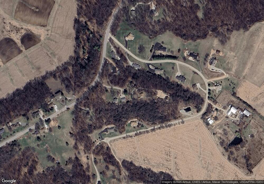
Map
Nearby Homes
- 9779 Military Rd
- Lot 9 Alea Ln
- LOT 20 & 21 Oakland Ridge Estates
- 00 S Hwy 61 151
- 8109 Elmwood Dr
- 8328 Elmwood Dr
- 11838 Lorelei Ln
- 8123 Elmwood Dr
- 8151 Elmwood Dr
- 8137 Elmwood Dr
- 8163 Elmwood Dr
- 8177 Elmwood Dr
- 8189 Elmwood Dr
- 8203 Elmwood Dr
- 8223 Elmwood Dr
- 8235 Elmwood Dr
- 8247 Elmwood Dr
- 8255 Elmwood Dr
- 8267 Elmwood Dr
- 8275 Elmwood Dr
- 10872 Acorn Ln
- 9953 Katie Cove
- 10896 Acorn Ln
- 9935 Katie Cove
- 9962 Military Rd
- 10869 Acorn Ln
- 9799 Katie Cove
- 9970 Military Rd
- 9934 Katie Cove
- 9909 Katie Cove
- Lot 10 Katie Cove
- 0 Katie Cove Unit 116437
- 0 Katie Cove Unit 118868
- 0 Katie Cove Unit 116439
- 0 Katie Cove Unit 123512
- Lot 3 Katie Cove
- Lot 4 Katie Cove
- Lot 1 Katie Cove
- Lot 2 Katie Cove
- 0 Katie Cove Unit 143945