1088 Route 12 Westmoreland, NH 03467
Estimated Value: $314,000 - $432,000
3
Beds
2
Baths
1,939
Sq Ft
$193/Sq Ft
Est. Value
About This Home
This home is located at 1088 Route 12, Westmoreland, NH 03467 and is currently estimated at $373,795, approximately $192 per square foot. 1088 Route 12 is a home located in Cheshire County with nearby schools including Mayland Early College High School, Keene High School, and Pioneer Junior Academy.
Ownership History
Date
Name
Owned For
Owner Type
Purchase Details
Closed on
Aug 30, 2000
Sold by
Gourley James L
Bought by
Gourley Scott J and Gourley Tammy L
Current Estimated Value
Home Financials for this Owner
Home Financials are based on the most recent Mortgage that was taken out on this home.
Original Mortgage
$72,000
Outstanding Balance
$26,353
Interest Rate
8.16%
Estimated Equity
$347,442
Create a Home Valuation Report for This Property
The Home Valuation Report is an in-depth analysis detailing your home's value as well as a comparison with similar homes in the area
Home Values in the Area
Average Home Value in this Area
Purchase History
| Date | Buyer | Sale Price | Title Company |
|---|---|---|---|
| Gourley Scott J | $90,000 | -- |
Source: Public Records
Mortgage History
| Date | Status | Borrower | Loan Amount |
|---|---|---|---|
| Open | Gourley Scott J | $72,000 |
Source: Public Records
Tax History Compared to Growth
Tax History
| Year | Tax Paid | Tax Assessment Tax Assessment Total Assessment is a certain percentage of the fair market value that is determined by local assessors to be the total taxable value of land and additions on the property. | Land | Improvement |
|---|---|---|---|---|
| 2024 | $4,365 | $189,300 | $68,000 | $121,300 |
| 2023 | $4,030 | $189,300 | $68,000 | $121,300 |
| 2022 | $3,794 | $184,600 | $68,000 | $116,600 |
| 2021 | $3,784 | $185,500 | $68,000 | $117,500 |
| 2020 | $4,008 | $157,800 | $58,500 | $99,300 |
| 2019 | $4,036 | $150,300 | $58,500 | $91,800 |
| 2018 | $3,830 | $150,300 | $58,500 | $91,800 |
| 2017 | $3,758 | $150,300 | $58,500 | $91,800 |
| 2016 | $3,732 | $150,300 | $58,500 | $91,800 |
| 2015 | $3,509 | $160,900 | $61,700 | $99,200 |
| 2014 | $3,504 | $160,900 | $61,700 | $99,200 |
| 2012 | $3,400 | $160,900 | $61,700 | $99,200 |
Source: Public Records
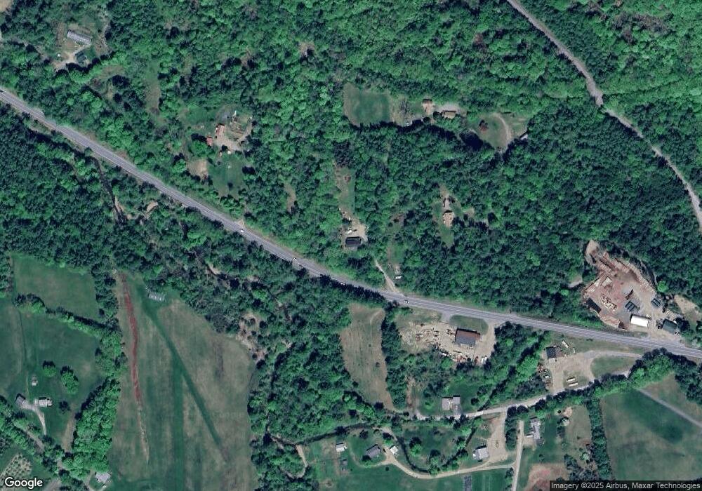
Map
Nearby Homes
- 14 Hurricane Rd
- 000 S Village Rd Unit 13
- Rt Highway 12
- 0 Old Gilsum Rd Unit 5034729
- Lot 27-1 Old Walpole Rd
- 183 Wyman Rd
- 0 Rd Unit 5039440
- 601 River Rd S
- 31 Darling Ct
- 00 S Pine Banks Rd
- 603 Route 12a
- 212 S Pine Banks Rd
- 24 Village Rd
- 28 Village Rd
- 224 Darling Rd
- 184 Kennedy Dr
- 115 Liberty Ln
- 337 Old Keene Rd
- 64 Old Walpole Rd
- 300 Wentworth Rd
- 1070 Route 12
- 1072 Route 12
- 28 Old Mill Brook Rd
- 1114 Route 12
- 16 Thompson Rd
- 11 Old Mill Brook Rd
- 92 Thompson Rd
- 122 Thompson Rd
- 11 Elms Rd
- 95 Thompson Rd
- 42 Thompson Rd
- 70 Thompson Rd
- 3 Old Mill Brook Rd
- 133 Thompson Rd
- 49 Thompson Rd
- 8 Hurricane Rd
- 1017 New Hampshire 12
- 58 Hurricane Rd
- 1067 Route 12
- 1177 Route 12