10884 306th St Bloomfield, IA 52537
Estimated Value: $246,000 - $306,782
--
Bed
1
Bath
2,097
Sq Ft
$128/Sq Ft
Est. Value
About This Home
This home is located at 10884 306th St, Bloomfield, IA 52537 and is currently estimated at $268,594, approximately $128 per square foot. 10884 306th St is a home located in Davis County with nearby schools including Moulton Elementary School and Moulton-Udell High School.
Create a Home Valuation Report for This Property
The Home Valuation Report is an in-depth analysis detailing your home's value as well as a comparison with similar homes in the area
Home Values in the Area
Average Home Value in this Area
Tax History Compared to Growth
Tax History
| Year | Tax Paid | Tax Assessment Tax Assessment Total Assessment is a certain percentage of the fair market value that is determined by local assessors to be the total taxable value of land and additions on the property. | Land | Improvement |
|---|---|---|---|---|
| 2025 | $2,210 | $184,640 | $43,120 | $141,520 |
| 2024 | $2,210 | $153,320 | $28,050 | $125,270 |
| 2023 | $2,482 | $153,320 | $28,050 | $125,270 |
| 2022 | $2,024 | $135,270 | $20,090 | $115,180 |
| 2021 | $2,024 | $116,160 | $20,090 | $96,070 |
| 2020 | $1,832 | $110,890 | $21,520 | $89,370 |
| 2019 | $1,948 | $110,890 | $21,520 | $89,370 |
| 2018 | $1,910 | $118,020 | $26,080 | $91,940 |
| 2017 | $1,892 | $118,020 | $26,080 | $91,940 |
| 2016 | $1,780 | $115,790 | $0 | $0 |
| 2015 | $1,780 | $122,570 | $0 | $0 |
| 2014 | $2,016 | $122,570 | $0 | $0 |
Source: Public Records
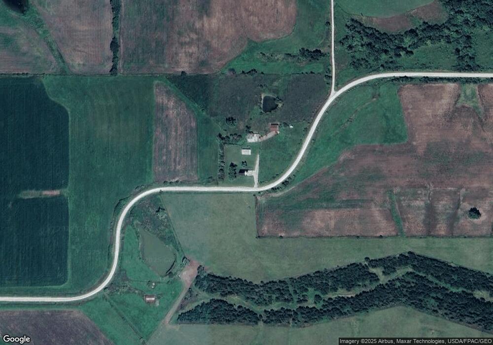
Map
Nearby Homes
- Davis County Unit IA
- Highway Z Unit LotWP001
- 000 Hwy Z
- 0 State Highway M
- 27005 Fig Ave
- 301 E 1st St
- 307 E 5th St
- 0000 Rabbit Run Rd
- 0 State Highway F
- Tbd 595th St
- TBD 595th St
- TBD Harvest Ave
- Tbd Harvest Ave
- 12392 Iowa 2
- 304 W Washington St
- 14042 232nd St
- 0 Highway M Unit 42090
- 26664 570th St
- 0000 Route N
- West D Ave