10887 Darr Ln Wilton, CA 95693
Estimated Value: $537,000 - $952,000
4
Beds
2
Baths
1,810
Sq Ft
$436/Sq Ft
Est. Value
About This Home
This home is located at 10887 Darr Ln, Wilton, CA 95693 and is currently estimated at $789,294, approximately $436 per square foot. 10887 Darr Ln is a home located in Sacramento County with nearby schools including Arcohe Elementary School and Liberty Ranch High School.
Ownership History
Date
Name
Owned For
Owner Type
Purchase Details
Closed on
Aug 12, 1999
Sold by
Montoya Alfredo and Aldana Margarita
Bought by
Montoya Alfredo and Aldana Margarita
Current Estimated Value
Home Financials for this Owner
Home Financials are based on the most recent Mortgage that was taken out on this home.
Original Mortgage
$207,700
Interest Rate
7.7%
Mortgage Type
Construction
Purchase Details
Closed on
Feb 24, 1999
Sold by
Toleman and Teresa
Bought by
Montoya Alfredo and Aldana Margarita
Home Financials for this Owner
Home Financials are based on the most recent Mortgage that was taken out on this home.
Original Mortgage
$85,000
Interest Rate
6.7%
Mortgage Type
Seller Take Back
Create a Home Valuation Report for This Property
The Home Valuation Report is an in-depth analysis detailing your home's value as well as a comparison with similar homes in the area
Home Values in the Area
Average Home Value in this Area
Purchase History
| Date | Buyer | Sale Price | Title Company |
|---|---|---|---|
| Montoya Alfredo | -- | Financial Title Company | |
| Montoya Alfredo | $95,000 | Placer Title Company |
Source: Public Records
Mortgage History
| Date | Status | Borrower | Loan Amount |
|---|---|---|---|
| Previous Owner | Montoya Alfredo | $207,700 | |
| Previous Owner | Montoya Alfredo | $85,000 |
Source: Public Records
Tax History
| Year | Tax Paid | Tax Assessment Tax Assessment Total Assessment is a certain percentage of the fair market value that is determined by local assessors to be the total taxable value of land and additions on the property. | Land | Improvement |
|---|---|---|---|---|
| 2025 | $3,971 | $362,632 | $147,462 | $215,170 |
| 2024 | $3,971 | $355,522 | $144,571 | $210,951 |
| 2023 | $3,711 | $348,552 | $141,737 | $206,815 |
| 2022 | $3,691 | $341,718 | $138,958 | $202,760 |
| 2021 | $3,712 | $335,019 | $136,234 | $198,785 |
| 2020 | $3,533 | $331,585 | $134,838 | $196,747 |
| 2019 | $3,448 | $325,085 | $132,195 | $192,890 |
| 2018 | $3,428 | $318,711 | $129,603 | $189,108 |
| 2017 | $3,287 | $312,462 | $127,062 | $185,400 |
| 2016 | $3,238 | $306,336 | $124,571 | $181,765 |
| 2015 | $3,137 | $301,735 | $122,700 | $179,035 |
| 2014 | $3,114 | $295,825 | $120,297 | $175,528 |
Source: Public Records
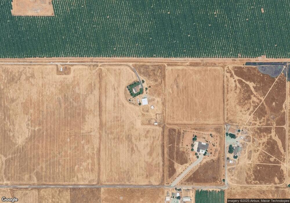
Map
Nearby Homes
- 5-acres Hobday Rd
- #1 Alta Mesa Rd
- 0 Blake Rd
- 13229 Clay Station Rd
- 12600 Clay Station Rd
- 12049 Blake Rd
- 0 Kiwi Ln
- 11213 Colony Rd
- 9777 Tavernor Rd
- 0 Alta Mesa Rd Unit 224117427
- 11343-2 Arno Rd
- 11343-4 Arno Rd
- 10600 Colony Rd
- 0 Colony Hill Ln
- 11490 Arno Rd
- 9425 Montevideo Dr
- 14255 Prouty Rd
- 9478 Sidesaddle Dr
- 0 Parcel D Unit 226001796
- 11529 Arno Rd
Your Personal Tour Guide
Ask me questions while you tour the home.