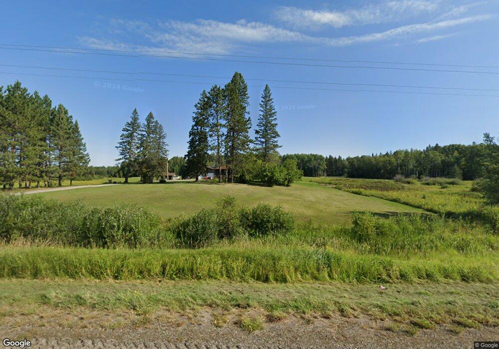
10889 Highway 22 Angora, MN 55703
Estimated Value: $261,000 - $330,000
3
Beds
1
Bath
1,220
Sq Ft
$243/Sq Ft
Est. Value
About This Home
This home is located at 10889 Highway 22, Angora, MN 55703 and is currently estimated at $296,892, approximately $243 per square foot. 10889 Highway 22 is a home with nearby schools including North Woods Elementary School.
Ownership History
Date
Name
Owned For
Owner Type
Purchase Details
Closed on
Dec 4, 2020
Sold by
Maki Stephanie M and Maki Joshua D
Bought by
Maki Stephanie M and Maki Joshua D
Current Estimated Value
Home Financials for this Owner
Home Financials are based on the most recent Mortgage that was taken out on this home.
Original Mortgage
$160,000
Outstanding Balance
$142,702
Interest Rate
2.8%
Mortgage Type
New Conventional
Estimated Equity
$154,190
Purchase Details
Closed on
Jun 27, 2014
Sold by
Swanson Thomas Richard and Thornton Diana Lynn
Bought by
Swanson Stephanie M
Home Financials for this Owner
Home Financials are based on the most recent Mortgage that was taken out on this home.
Original Mortgage
$129,200
Interest Rate
4.12%
Mortgage Type
New Conventional
Create a Home Valuation Report for This Property
The Home Valuation Report is an in-depth analysis detailing your home's value as well as a comparison with similar homes in the area
Home Values in the Area
Average Home Value in this Area
Purchase History
| Date | Buyer | Sale Price | Title Company |
|---|---|---|---|
| Maki Stephanie M | -- | Northeast Title Company | |
| Swanson Stephanie M | $161,500 | None Available |
Source: Public Records
Mortgage History
| Date | Status | Borrower | Loan Amount |
|---|---|---|---|
| Open | Maki Stephanie M | $160,000 | |
| Closed | Swanson Stephanie M | $129,200 |
Source: Public Records
Tax History Compared to Growth
Tax History
| Year | Tax Paid | Tax Assessment Tax Assessment Total Assessment is a certain percentage of the fair market value that is determined by local assessors to be the total taxable value of land and additions on the property. | Land | Improvement |
|---|---|---|---|---|
| 2023 | $1,162 | $186,500 | $44,800 | $141,700 |
| 2022 | $1,382 | $178,200 | $43,000 | $135,200 |
| 2021 | $1,032 | $162,000 | $39,800 | $122,200 |
| 2020 | $1,026 | $130,500 | $39,500 | $91,000 |
| 2019 | $992 | $129,200 | $38,200 | $91,000 |
| 2018 | $1,008 | $129,200 | $38,200 | $91,000 |
| 2017 | $1,018 | $129,200 | $38,200 | $91,000 |
| 2016 | $1,114 | $129,200 | $38,200 | $91,000 |
| 2015 | $297 | $109,000 | $38,400 | $70,600 |
| 2014 | $297 | $129,800 | $39,800 | $90,000 |
Source: Public Records
Map
Nearby Homes
- Fire#10899 Hwy 22
- 8800 Minnesota 73
- 8874 Highway 25
- TBD Leander Rd
- TBD Heino Rd
- TBD Samuelson Rd
- 9240 Murray Rd
- TBD LOT 2 W Riek Rd
- 9401 Samuelson Rd
- TBD LOT 1 W Riek Rd
- TBD Samuelson Road-Sec22
- Sec: 2 TWP: 61.0 RG:
- TBD Jack Pine Ln
- 9774 Wien Rd
- TBD Highway 53
- TBD Hwy 53
- TBD Muskego Point
- TBD Wilderness Way Rd
- TBD Vermilion Lake Rd
- 7885 Lake 14 Rd