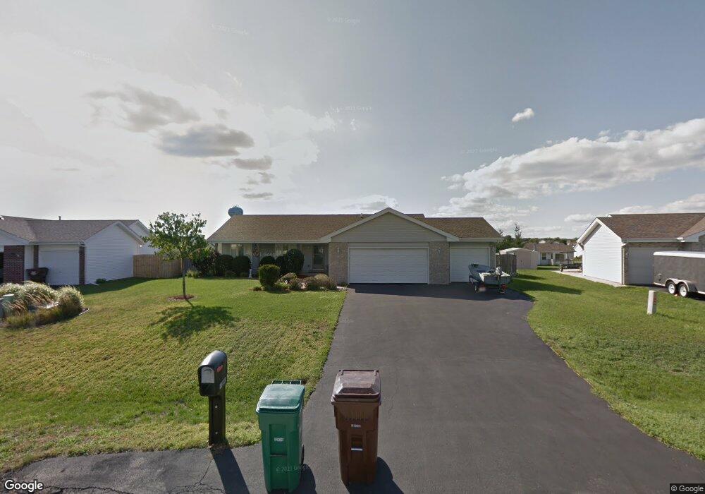
10890 Tansy Ct Roscoe, IL 61073
Estimated Value: $283,136 - $319,000
3
Beds
2
Baths
1,747
Sq Ft
$173/Sq Ft
Est. Value
About This Home
This home is located at 10890 Tansy Ct, Roscoe, IL 61073 and is currently estimated at $302,784, approximately $173 per square foot. 10890 Tansy Ct is a home located in Winnebago County with nearby schools including Ledgewood Elementary School, Kinnikinnick School, and Stone Creek School.
Ownership History
Date
Name
Owned For
Owner Type
Purchase Details
Closed on
Oct 26, 2016
Sold by
Charles Lombardo and Charles Jean E
Bought by
Lombardo Steven Charles
Current Estimated Value
Home Financials for this Owner
Home Financials are based on the most recent Mortgage that was taken out on this home.
Original Mortgage
$116,000
Outstanding Balance
$55,123
Interest Rate
3.5%
Mortgage Type
New Conventional
Estimated Equity
$247,661
Purchase Details
Closed on
Nov 21, 2003
Bought by
Lombardo Charles and Lombardo Jean E
Create a Home Valuation Report for This Property
The Home Valuation Report is an in-depth analysis detailing your home's value as well as a comparison with similar homes in the area
Home Values in the Area
Average Home Value in this Area
Purchase History
| Date | Buyer | Sale Price | Title Company |
|---|---|---|---|
| Lombardo Steven Charles | $145,000 | Other | |
| Lombardo Charles | $134,000 | -- |
Source: Public Records
Mortgage History
| Date | Status | Borrower | Loan Amount |
|---|---|---|---|
| Open | Lombardo Steven Charles | $116,000 |
Source: Public Records
Tax History
| Year | Tax Paid | Tax Assessment Tax Assessment Total Assessment is a certain percentage of the fair market value that is determined by local assessors to be the total taxable value of land and additions on the property. | Land | Improvement |
|---|---|---|---|---|
| 2024 | $5,692 | $69,759 | $15,970 | $53,789 |
| 2022 | $4,971 | $56,826 | $13,009 | $43,817 |
| 2021 | $4,715 | $53,178 | $12,174 | $41,004 |
| 2020 | $4,640 | $51,489 | $11,787 | $39,702 |
| 2019 | $4,550 | $49,599 | $11,354 | $38,245 |
| 2018 | $4,491 | $47,274 | $10,822 | $36,452 |
| 2017 | $4,291 | $45,312 | $10,373 | $34,939 |
| 2016 | $4,697 | $43,826 | $10,033 | $33,793 |
| 2015 | $4,547 | $42,824 | $9,804 | $33,020 |
| 2014 | $4,264 | $42,824 | $9,804 | $33,020 |
Source: Public Records
Map
Nearby Homes
- 10853 Lemon Grass Ln
- 11216 Lemon Grass Ln
- 10662 Chicory Ridge Way
- 664 Elberon Way
- 410 Pine White #102-B Rd
- 410 Pine White Rd
- 638 Merrion Rd
- 10178 Monarch Rd Unit D
- 10138 Monarch Rd
- 10178 Monarch Rd
- 10138 Monarch Rd Unit 4
- 653 Yosemite Ave
- 11740 River Hills Pkwy
- 4361 Pfister Ln
- 819 Kenai Ct
- 805 Kenai Ct
- 827 Kenai Ct
- 833 Kenai Ct
- 841 Kenai Ct
- 845 Kenai Ct
- 10874 Tansy Ct
- 10906 Tansy Ct
- 10933 Cotton Thistle
- 10915 Cotton Thistle
- 10858 Tansy Ct
- 10949 Cotton Thistle
- 10901 Cotton Thistle
- 10922 Tansy Ct
- 10893 Tansy Ct
- 10920 Lemon Grass Ln
- 10961 Cotton Thistle
- 10887 Cotton Thistle
- 10875 Tansy Ct
- 10846 Tansy Ct
- 10968 Lemon Grass Ln
- 10898 Lemon Grass Ln
- 10873 Cotton Thistle
- 10834 Tansy Ct
- 10886 Lemon Grass Ln
- 10924 Cotton Thistle
Your Personal Tour Guide
Ask me questions while you tour the home.