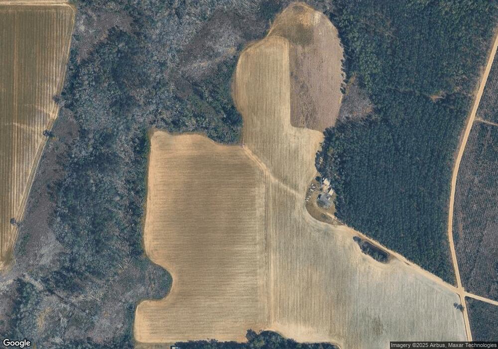
10896 Poor Robin Rd Surrency, GA 31563
Estimated Value: $263,000 - $407,538
2
Beds
2
Baths
1,614
Sq Ft
$199/Sq Ft
Est. Value
About This Home
This home is located at 10896 Poor Robin Rd, Surrency, GA 31563 and is currently estimated at $320,513, approximately $198 per square foot. 10896 Poor Robin Rd is a home located in Appling County.
Ownership History
Date
Name
Owned For
Owner Type
Purchase Details
Closed on
Jan 19, 2024
Sold by
Carter Ruby Nell
Bought by
Mann Elmer Eugene
Current Estimated Value
Purchase Details
Closed on
Sep 22, 2017
Sold by
Carter Millard Bartley
Bought by
Bragg Joann W
Purchase Details
Closed on
Aug 8, 2017
Sold by
Carter Ruby Nell
Bought by
Carter Millard Bartley
Purchase Details
Closed on
Oct 3, 1988
Bought by
Carter Ruby Nell
Create a Home Valuation Report for This Property
The Home Valuation Report is an in-depth analysis detailing your home's value as well as a comparison with similar homes in the area
Purchase History
| Date | Buyer | Sale Price | Title Company |
|---|---|---|---|
| Mann Elmer Eugene | $22,500 | -- | |
| Bragg Joann W | $105,000 | -- | |
| Bragg Joann W | -- | -- | |
| Carter Millard Bartley | -- | -- | |
| Carter Ruby Nell | -- | -- |
Source: Public Records
Tax History
| Year | Tax Paid | Tax Assessment Tax Assessment Total Assessment is a certain percentage of the fair market value that is determined by local assessors to be the total taxable value of land and additions on the property. | Land | Improvement |
|---|---|---|---|---|
| 2025 | $2,028 | $254,960 | $213,080 | $41,880 |
| 2024 | $2,028 | $85,056 | $57,600 | $27,456 |
| 2023 | $1,843 | $84,159 | $56,703 | $27,456 |
| 2022 | $1,420 | $79,383 | $56,703 | $22,680 |
| 2021 | $1,414 | $79,383 | $56,703 | $22,680 |
| 2020 | $1,476 | $79,383 | $56,703 | $22,680 |
| 2019 | $1,505 | $79,383 | $56,703 | $22,680 |
| 2018 | $1,539 | $79,583 | $56,703 | $22,880 |
| 2017 | $1,553 | $80,037 | $57,397 | $22,640 |
| 2016 | $1,553 | $80,037 | $57,397 | $22,640 |
| 2015 | $1,555 | $23,371 | $732 | $22,640 |
| 2014 | $1,557 | $23,372 | $732 | $22,640 |
| 2013 | -- | $23,371 | $731 | $22,640 |
Source: Public Records
Map
Nearby Homes
- 82 Harris Rd
- 0 Eagles Point Unit LOT 8
- 0 Eagles Point Unit LOT 12
- 0 Eagles Point Unit LOT 11
- 1564 Eagles Point
- 290 ACRES Georgia 121
- 0 Eagles Point (Lot 12) Unit 23776
- 0 Eagles Point (Lot 11) Unit 23775
- 0 Eagles Point (Lot 8) Unit 23774
- 7946 Old Surrency Rd
- 540 Freddy Rd
- 0 Brentwood Rd
- 12 AC Owens Rd
- 28 AC Owens Rd
- 29 AC Owens Rd
- 19 AC Owens Rd
- 28 Ac Owens Rd
- 29 Ac Owens Rd
- 12 Ac Owens Rd
- 19 Ac Owens Rd
- 456 Willie Rd
- 3353 Holmesville Rd
- 115 Pete Rd
- 3490 Holmesville Rd
- 2715 Moody Cemetery Rd
- 3676 Holmesville Rd
- 10702 Poor Robin Rd
- 10346 Poor Robin Rd
- 95 Dupe Herndon Rd
- 10463 Poor Robin Rd
- 5589 Ga Highway 121 SE
- 5665 Ga Highway 121 SE
- 852 John Herndon Rd
- 95.7 Acres Off K'Ville Hwy
- 5771 Ga Highway 121 SE
- 1083 Wicker Rd
- 2141 John Herndon Rd
- 5958 Ga Highway 121 SE
- 5994 Ga Highway 121 SE
Your Personal Tour Guide
Ask me questions while you tour the home.
