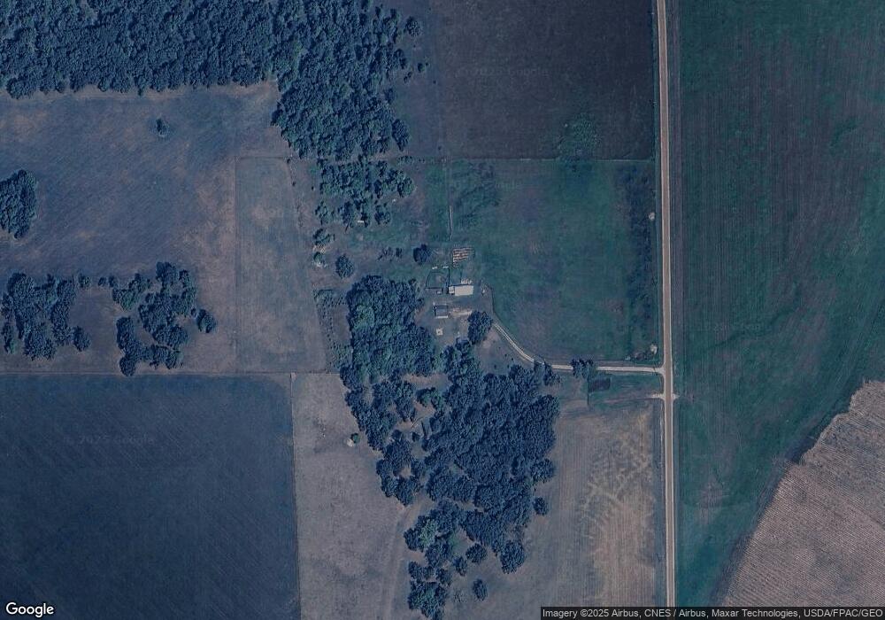
10899 57th Ave SW Pillager, MN 56473
Estimated Value: $324,000
3
Beds
1
Bath
1,092
Sq Ft
$297/Sq Ft
Est. Value
About This Home
This home is located at 10899 57th Ave SW, Pillager, MN 56473 and is currently estimated at $324,000, approximately $296 per square foot. 10899 57th Ave SW is a home located in Cass County with nearby schools including Staples Motley Senior High School.
Ownership History
Date
Name
Owned For
Owner Type
Purchase Details
Closed on
Jan 11, 2011
Sold by
The Bank Of New York
Bought by
Degeest Matthew
Current Estimated Value
Home Financials for this Owner
Home Financials are based on the most recent Mortgage that was taken out on this home.
Original Mortgage
$65,600
Outstanding Balance
$44,809
Interest Rate
4.82%
Mortgage Type
New Conventional
Estimated Equity
$279,191
Purchase Details
Closed on
Oct 14, 2008
Sold by
England Lloyd B
Bought by
The Bank Of New York
Purchase Details
Closed on
Apr 29, 2005
Sold by
Sawvel Suxanne G
Bought by
England Lloyd B
Home Financials for this Owner
Home Financials are based on the most recent Mortgage that was taken out on this home.
Original Mortgage
$122,925
Interest Rate
6.05%
Mortgage Type
New Conventional
Create a Home Valuation Report for This Property
The Home Valuation Report is an in-depth analysis detailing your home's value as well as a comparison with similar homes in the area
Home Values in the Area
Average Home Value in this Area
Purchase History
| Date | Buyer | Sale Price | Title Company |
|---|---|---|---|
| Degeest Matthew | $82,000 | Edina Realty Title | |
| The Bank Of New York | $112,625 | None Available | |
| England Lloyd B | $163,900 | Complete Title Services Llc |
Source: Public Records
Mortgage History
| Date | Status | Borrower | Loan Amount |
|---|---|---|---|
| Open | Degeest Matthew | $65,600 | |
| Previous Owner | England Lloyd B | $122,925 |
Source: Public Records
Tax History Compared to Growth
Tax History
| Year | Tax Paid | Tax Assessment Tax Assessment Total Assessment is a certain percentage of the fair market value that is determined by local assessors to be the total taxable value of land and additions on the property. | Land | Improvement |
|---|---|---|---|---|
| 2024 | $902 | $257,100 | $127,000 | $130,100 |
| 2023 | $1,012 | $194,800 | $65,200 | $129,600 |
| 2022 | $984 | $194,800 | $65,200 | $129,600 |
| 2021 | $666 | $154,100 | $55,200 | $98,900 |
| 2020 | $618 | $138,300 | $53,300 | $85,000 |
| 2019 | $902 | $128,500 | $54,000 | $74,500 |
| 2018 | $746 | $108,200 | $53,800 | $54,400 |
| 2017 | $800 | $108,200 | $53,800 | $54,400 |
| 2016 | $718 | $0 | $0 | $0 |
| 2015 | $718 | $114,700 | $54,800 | $59,900 |
| 2014 | $784 | $0 | $0 | $0 |
Source: Public Records
Map
Nearby Homes
- Parcel D 112th St SW
- Parcel C 112th St SW
- Parcel B 112th St SW
- Parcel A 112th St SW
- TBD Gumwood Ln
- TBD Sherwood Dr SW
- Parcel 9 Spring Rd
- 12038 Spring Rd SW
- 12639 65th Ave SW
- 11957 County Road 1 SW
- TBD Pillager Creek Trail SW
- 33916 Twin Oaks Loop
- 7765 120th St SW
- 716 Cedar Ln
- 4209 State 210 SW
- TBD Azalea Rd
- 9740 County Road 1 SW
- L1B2 Dorado Dr N
- TBD 37th Ave SW
- 4211 Crow Wing Cir SW