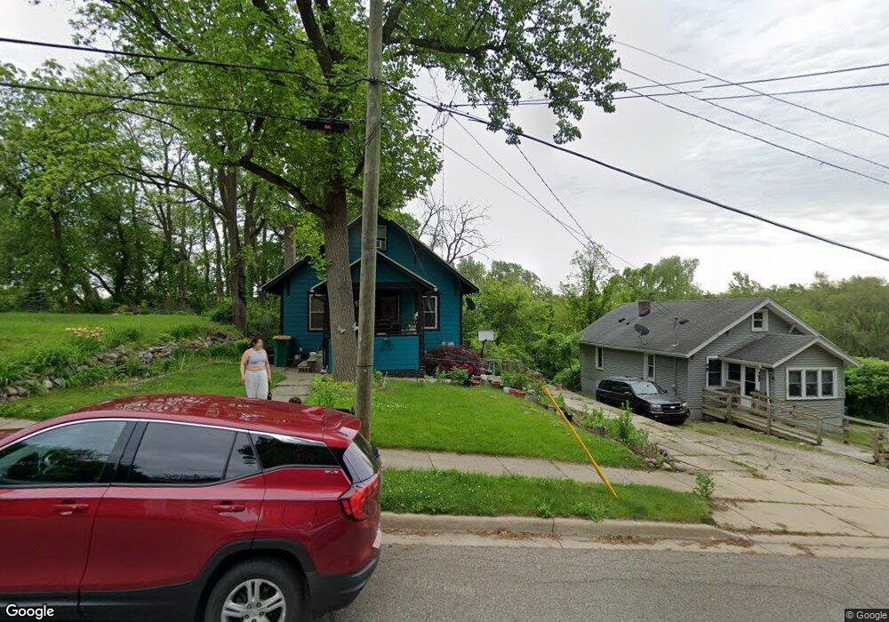
109 Arthur St Battle Creek, MI 49015
Central Battle Creek NeighborhoodEstimated Value: $87,000 - $114,612
3
Beds
1
Bath
1,632
Sq Ft
$61/Sq Ft
Est. Value
About This Home
This home is located at 109 Arthur St, Battle Creek, MI 49015 and is currently estimated at $100,153, approximately $61 per square foot. 109 Arthur St is a home located in Calhoun County with nearby schools including Ann J. Kellogg School, Springfield Middle School, and Battle Creek Central High School.
Ownership History
Date
Name
Owned For
Owner Type
Purchase Details
Closed on
Sep 30, 2022
Sold by
Garrison Shawn M and Garrison Etelbina
Bought by
Torres Martin L Oseguera and Torres Alexandra N
Current Estimated Value
Purchase Details
Closed on
Aug 14, 2008
Sold by
Robles Salvador and Robles Maria
Bought by
Garrison Shawn M and Robles Garrison Etelbina
Purchase Details
Closed on
Jul 8, 2008
Sold by
Robles Etelvina and Robles Leonila
Bought by
Robles Salvador and Robles Maria
Purchase Details
Closed on
Mar 28, 2003
Sold by
Daniels Douglas M and Daniels Candace
Bought by
Robles Salvador and Robles Maria
Create a Home Valuation Report for This Property
The Home Valuation Report is an in-depth analysis detailing your home's value as well as a comparison with similar homes in the area
Home Values in the Area
Average Home Value in this Area
Purchase History
| Date | Buyer | Sale Price | Title Company |
|---|---|---|---|
| Torres Martin L Oseguera | $37,000 | -- | |
| Garrison Shawn M | $35,000 | Attorney | |
| Robles Salvador | -- | None Available | |
| Robles Salvador | $27,900 | None Available | |
| Robles Leonila | $27,900 | -- |
Source: Public Records
Tax History Compared to Growth
Tax History
| Year | Tax Paid | Tax Assessment Tax Assessment Total Assessment is a certain percentage of the fair market value that is determined by local assessors to be the total taxable value of land and additions on the property. | Land | Improvement |
|---|---|---|---|---|
| 2025 | -- | $34,700 | $0 | $0 |
| 2024 | $750 | $29,206 | $0 | $0 |
| 2023 | $857 | $27,794 | $0 | $0 |
| 2022 | $677 | $21,919 | $0 | $0 |
| 2021 | $809 | $20,983 | $0 | $0 |
| 2020 | $778 | $19,725 | $0 | $0 |
| 2019 | $779 | $16,754 | $0 | $0 |
| 2018 | $779 | $16,743 | $615 | $16,128 |
| 2017 | $773 | $16,773 | $0 | $0 |
| 2016 | $772 | $16,730 | $0 | $0 |
| 2015 | $901 | $18,774 | $3,439 | $15,335 |
| 2014 | $901 | $19,549 | $3,439 | $16,110 |
Source: Public Records
Map
Nearby Homes
- 17 Tennyson Ave
- 66 Cleveland St
- 57 Boulder St
- 96 Battle Creek Ave
- 35 Eldred St
- 71 Burnham St W
- 171 Goguac St W
- 1 Grand Blvd
- 296 Meachem Ave
- 41 Randolph St
- 0 Riverside Pkwy Unit 25036355
- 32 Territorial Rd E
- 3 Riverside Pkwy
- 210 Battle Creek Ave
- 212 Goguac St W
- 100 Eldred St
- 21 Spring St
- 178 Webber St
- 15 Marine Dr
- 51 Pauline Ave