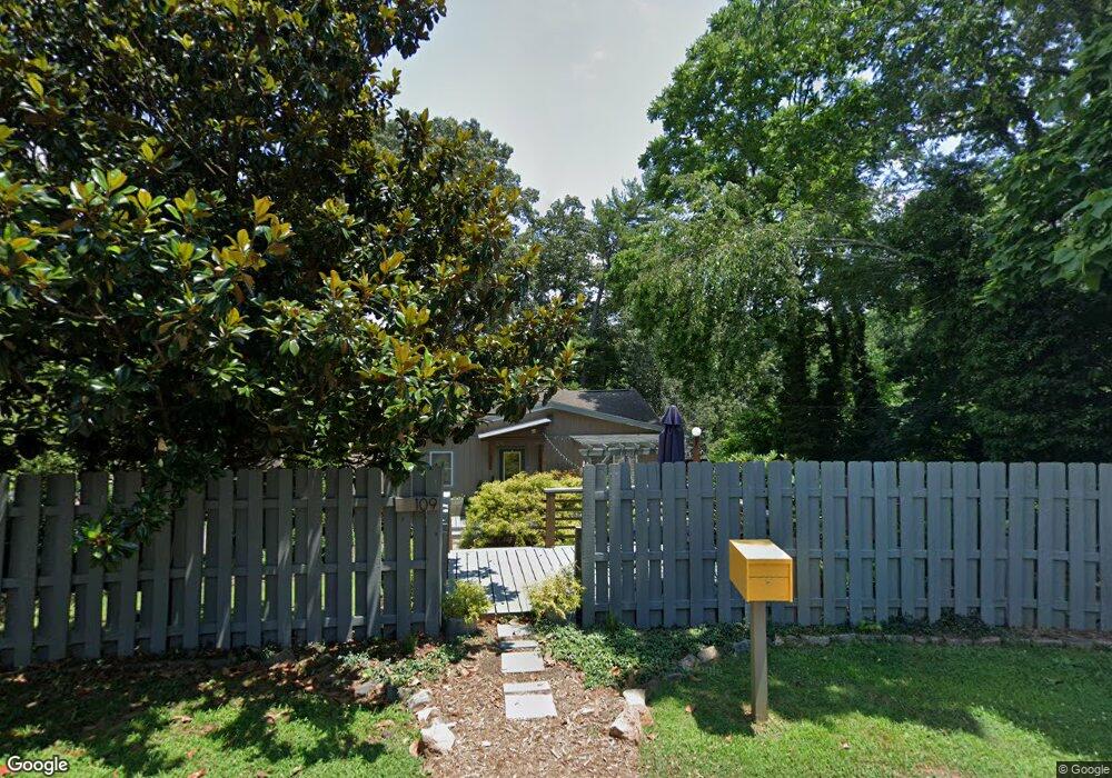
109 Baker Dr Asheville, NC 28806
West Asheville NeighborhoodEstimated Value: $422,000 - $538,000
3
Beds
2
Baths
1,276
Sq Ft
$370/Sq Ft
Est. Value
About This Home
This home is located at 109 Baker Dr, Asheville, NC 28806 and is currently estimated at $472,459, approximately $370 per square foot. 109 Baker Dr is a home located in Buncombe County with nearby schools including Johnston Elementary School, Clyde A. Erwin High School, and Clyde A. Erwin Middle School.
Ownership History
Date
Name
Owned For
Owner Type
Purchase Details
Closed on
Apr 30, 2007
Sold by
Bartholic Claire E and Bartholic Paul A
Bought by
Duginske Stephen P and Duginske Stephanie J
Current Estimated Value
Home Financials for this Owner
Home Financials are based on the most recent Mortgage that was taken out on this home.
Original Mortgage
$152,900
Outstanding Balance
$92,649
Interest Rate
6.1%
Mortgage Type
Unknown
Estimated Equity
$379,810
Purchase Details
Closed on
Sep 26, 2002
Sold by
Buchanan Dennis J and Buchanan Melinda Conley
Bought by
Norton Claire
Home Financials for this Owner
Home Financials are based on the most recent Mortgage that was taken out on this home.
Original Mortgage
$87,200
Interest Rate
6.19%
Purchase Details
Closed on
Mar 31, 1999
Sold by
Pruett Marc R and Pruett Anita E
Bought by
Conley Melinda Kaye
Purchase Details
Closed on
Aug 27, 1998
Sold by
Fite Irene B
Bought by
Pruett Marc R and Pruett Anita E
Create a Home Valuation Report for This Property
The Home Valuation Report is an in-depth analysis detailing your home's value as well as a comparison with similar homes in the area
Home Values in the Area
Average Home Value in this Area
Purchase History
| Date | Buyer | Sale Price | Title Company |
|---|---|---|---|
| Duginske Stephen P | $204,000 | None Available | |
| Norton Claire | $109,000 | -- | |
| Conley Melinda Kaye | $84,500 | -- | |
| Pruett Marc R | -- | -- |
Source: Public Records
Mortgage History
| Date | Status | Borrower | Loan Amount |
|---|---|---|---|
| Open | Duginske Stephen P | $152,900 | |
| Closed | Duginske Stephen P | $51,000 | |
| Previous Owner | Norton Claire | $87,200 |
Source: Public Records
Tax History Compared to Growth
Tax History
| Year | Tax Paid | Tax Assessment Tax Assessment Total Assessment is a certain percentage of the fair market value that is determined by local assessors to be the total taxable value of land and additions on the property. | Land | Improvement |
|---|---|---|---|---|
| 2025 | $2,598 | $280,300 | $56,300 | $224,000 |
| 2024 | $2,598 | $280,300 | $56,300 | $224,000 |
| 2023 | $2,598 | $237,100 | $56,300 | $180,800 |
| 2022 | $2,113 | $237,100 | $0 | $0 |
| 2021 | $2,113 | $237,100 | $0 | $0 |
| 2020 | $1,753 | $183,000 | $0 | $0 |
| 2019 | $1,753 | $183,000 | $0 | $0 |
| 2018 | $1,753 | $183,000 | $0 | $0 |
| 2017 | $1,771 | $139,300 | $0 | $0 |
| 2016 | $1,503 | $139,300 | $0 | $0 |
| 2015 | $1,503 | $139,300 | $0 | $0 |
| 2014 | $1,482 | $139,300 | $0 | $0 |
Source: Public Records
Map
Nearby Homes
- 42 Mayday St
- 20 Rash Rd
- 51 Baker Dr
- 33 Wilshire Dr
- 1389 Patton Ave
- 4 La Rue St
- 110 Providence Rd
- 65 Rash Rd
- 27 Ormond Ave
- 186 Johnston Blvd
- 14 Mountain Terrace
- 119 N Bear Creek Rd
- 28 Deaverview Rd
- 42 Sheppard Dr
- 50 Green Hill Ave
- 215 N Bear Creek Rd
- 30 Dartmouth St
- 2 Cub Rd
- 23 Laurel Loop
- 136 Old County Home Rd
- 51 Mayday St
- 63 Baker Dr
- 60 Baker Dr
- 57 Mayday St Unit 17
- 105 Johnston Blvd
- 61 Mayday St Unit 16
- 37 Mayday St
- 65 Baker Dr
- 56 Mayday St
- 31 Mayday St
- 27 Mayday St Unit 22
- 50 Mayday St Unit 14
- 46 Mayday St Unit 13
- 5 Mayday St
- 42 Mayday St Unit 12
- 9 Rash Rd
- 38 Mayday St Unit 11
- 8 Mayday St
- 26 Mayday St
- 30 Mayday St Unit 10