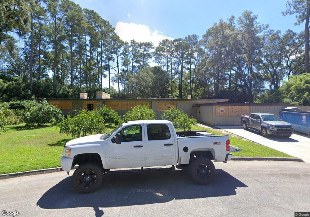
109 Brandywine Rd Savannah, GA 31405
Abercorn Heights-Lamara Heights NeighborhoodEstimated Value: $581,000 - $753,000
3
Beds
4
Baths
3,100
Sq Ft
$218/Sq Ft
Est. Value
About This Home
This home is located at 109 Brandywine Rd, Savannah, GA 31405 and is currently estimated at $674,572, approximately $217 per square foot. 109 Brandywine Rd is a home located in Chatham County with nearby schools including Jacob G. Smith Elementary School, Myers Middle School, and Beach High School.
Ownership History
Date
Name
Owned For
Owner Type
Purchase Details
Closed on
Sep 6, 2024
Sold by
Jackson Timothy A
Bought by
Rosenberg Lela Capri
Current Estimated Value
Purchase Details
Closed on
Jul 23, 2009
Sold by
Harvey Sim H
Bought by
Jackson Timothy A and Rosenberg Lela Capri
Home Financials for this Owner
Home Financials are based on the most recent Mortgage that was taken out on this home.
Original Mortgage
$333,000
Interest Rate
5.36%
Mortgage Type
New Conventional
Create a Home Valuation Report for This Property
The Home Valuation Report is an in-depth analysis detailing your home's value as well as a comparison with similar homes in the area
Home Values in the Area
Average Home Value in this Area
Purchase History
| Date | Buyer | Sale Price | Title Company |
|---|---|---|---|
| Rosenberg Lela Capri | -- | -- | |
| Jackson Timothy A | $448,000 | -- |
Source: Public Records
Mortgage History
| Date | Status | Borrower | Loan Amount |
|---|---|---|---|
| Previous Owner | Jackson Timothy A | $333,000 |
Source: Public Records
Tax History
| Year | Tax Paid | Tax Assessment Tax Assessment Total Assessment is a certain percentage of the fair market value that is determined by local assessors to be the total taxable value of land and additions on the property. | Land | Improvement |
|---|---|---|---|---|
| 2025 | $3,461 | $218,720 | $60,000 | $158,720 |
| 2024 | $44 | $191,080 | $52,200 | $138,880 |
| 2023 | $1,440 | $204,160 | $52,200 | $151,960 |
| 2022 | $3,201 | $144,000 | $36,000 | $108,000 |
| 2021 | $3,172 | $121,680 | $36,000 | $85,680 |
| 2020 | $3,209 | $121,000 | $36,000 | $85,000 |
| 2019 | $4,690 | $120,080 | $36,000 | $84,080 |
| 2018 | $3,168 | $118,720 | $36,000 | $82,720 |
| 2017 | $2,879 | $119,320 | $39,520 | $79,800 |
| 2016 | $2,829 | $119,760 | $39,520 | $80,240 |
| 2015 | $4,166 | $121,160 | $39,520 | $81,640 |
| 2014 | $5,329 | $103,440 | $0 | $0 |
Source: Public Records
Map
Nearby Homes
- 110 E Derenne Ave
- 112 E Derenne Ave
- 5205 Habersham St
- 5114 Abercorn St
- 209 E Derenne Ave
- 114 E Derenne Ave
- 130 Brandywine Rd
- 0 Highway 21 Unit SA346704
- 0 Highway 21 Unit 10607358
- 20 E 67th St
- 116 E 66th St
- 120 E 66th St
- 31 E 66th St
- 3 Berkley Place
- 23 E 65th St
- 110 E 65th St
- 306 E 66th St
- 5404 Reynolds St
- 4904 Battey St
- 218 E 65th St
- 105 Brandywine Rd
- 111 Brandywine Rd
- 103 Brandywine Rd Unit 1/2
- 103 Brandywine Rd Unit A.D.U.
- 103 Brandywine Rd
- 5219 Habersham St
- 5221 Habersham St
- 5217 Habersham St
- 112 Brandywine Rd
- 115 Brandywine Rd
- 5215 Habersham St
- 110 Brandywine Rd
- 108 E de Renne Ave
- 108 E Derenne Ave
- 110 E de Renne Ave
- 112 E Derenne Ave
- 5213 Habersham St
- 112 E de Renne Ave
- 106 E de Renne Ave
- 106 E Derenne Ave
Your Personal Tour Guide
Ask me questions while you tour the home.