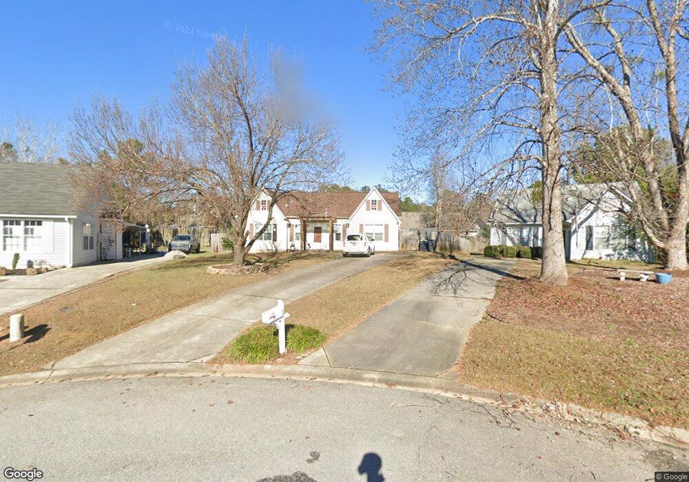
109 Brockton Ct Lexington, SC 29072
Estimated Value: $185,000 - $216,000
3
Beds
2
Baths
1,112
Sq Ft
$187/Sq Ft
Est. Value
About This Home
This home is located at 109 Brockton Ct, Lexington, SC 29072 and is currently estimated at $207,616, approximately $186 per square foot. 109 Brockton Ct is a home located in Lexington County with nearby schools including Lexington Elementary School, River Bluff High School, and American Leadership Academy South Carolina-Lexington Campus.
Ownership History
Date
Name
Owned For
Owner Type
Purchase Details
Closed on
Apr 30, 2014
Sold by
Fannie Mae
Bought by
Wilson Lisa M
Current Estimated Value
Purchase Details
Closed on
Jan 16, 2014
Sold by
Donnell David R O
Bought by
Federal National Mortgage Association
Purchase Details
Closed on
Sep 2, 2005
Sold by
Pearson George W and Pearson Caroline B
Bought by
Odonnell David R
Home Financials for this Owner
Home Financials are based on the most recent Mortgage that was taken out on this home.
Original Mortgage
$999,000
Interest Rate
5.87%
Mortgage Type
Adjustable Rate Mortgage/ARM
Purchase Details
Closed on
Feb 19, 1999
Sold by
Peacock Robert G
Bought by
Pearson George W
Create a Home Valuation Report for This Property
The Home Valuation Report is an in-depth analysis detailing your home's value as well as a comparison with similar homes in the area
Home Values in the Area
Average Home Value in this Area
Purchase History
| Date | Buyer | Sale Price | Title Company |
|---|---|---|---|
| Wilson Lisa M | $82,000 | -- | |
| Federal National Mortgage Association | $92,112 | -- | |
| Odonnell David R | $99,900 | -- | |
| Pearson George W | $81,000 | -- |
Source: Public Records
Mortgage History
| Date | Status | Borrower | Loan Amount |
|---|---|---|---|
| Previous Owner | Odonnell David R | $999,000 |
Source: Public Records
Tax History Compared to Growth
Tax History
| Year | Tax Paid | Tax Assessment Tax Assessment Total Assessment is a certain percentage of the fair market value that is determined by local assessors to be the total taxable value of land and additions on the property. | Land | Improvement |
|---|---|---|---|---|
| 2024 | $793 | $4,517 | $1,085 | $3,432 |
| 2023 | $793 | $4,517 | $1,085 | $3,432 |
| 2022 | $791 | $4,517 | $1,085 | $3,432 |
| 2020 | $808 | $4,517 | $1,085 | $3,432 |
| 2019 | $746 | $3,928 | $1,120 | $2,808 |
| 2018 | $734 | $3,928 | $1,120 | $2,808 |
| 2017 | $717 | $3,928 | $1,120 | $2,808 |
| 2016 | $711 | $3,928 | $1,120 | $2,808 |
| 2014 | $686 | $3,913 | $1,120 | $2,793 |
| 2013 | -- | $5,870 | $1,680 | $4,190 |
Source: Public Records
Map
Nearby Homes
- 329 Libby Ln
- 112 Mallard Lakes Ct
- 216 Teesdale Ct
- 128 Widgeon Dr
- 601 Mallard Lakes Dr
- 101 E Sparrowood Run
- 120 Coventry Lake Dr
- 725 Mallard Lakes Dr
- 108 Coventry Ct
- 101 Abbie Ct
- 112 Coachman Dr
- 108 Scotland Ct
- 217 Muirfield Way
- 517 Corley St
- 107 Lorick Cir
- EATON Plan at Cross Creek
- LITCHFIELD Plan at Cross Creek
- BRADFORD Plan at Cross Creek
- DARBY Plan at Cross Creek
- 417 Forest Edge Trail
- 105 Brockton Ct
- 113 Brockton Ct
- 137 Huntington Cir
- 139 Huntington Cir
- 135 Huntington Cir
- 141 Huntington Cir
- 117 Brockton Ct
- 143 Huntington Cir
- 131 Huntington Cir
- 333 Libby Ln
- 129 Huntington Cir
- 112 Brockton Ct
- 147 Huntington Cir
- 134 Huntington Cir
- 138 Huntington Cir
- 136 Huntington Cir
- 132 Huntington Cir
- 140 Huntington Cir
- 401 Libby Ln
- 142 Huntington Cir