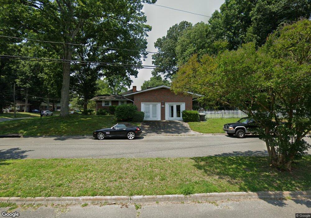
109 Brookfield Dr Newport News, VA 23602
Charles NeighborhoodEstimated Value: $318,521 - $323,000
3
Beds
2
Baths
1,501
Sq Ft
$214/Sq Ft
Est. Value
About This Home
This home is located at 109 Brookfield Dr, Newport News, VA 23602 and is currently estimated at $321,130, approximately $213 per square foot. 109 Brookfield Dr is a home located in Newport News City with nearby schools including B.C. Charles Elementary School, Ethel M. Gildersleeve Middle School, and Menchville High School.
Ownership History
Date
Name
Owned For
Owner Type
Purchase Details
Closed on
Jun 20, 2001
Sold by
V A
Bought by
Bowman Johnnie R
Current Estimated Value
Home Financials for this Owner
Home Financials are based on the most recent Mortgage that was taken out on this home.
Original Mortgage
$95,850
Outstanding Balance
$36,378
Interest Rate
7.09%
Estimated Equity
$284,752
Create a Home Valuation Report for This Property
The Home Valuation Report is an in-depth analysis detailing your home's value as well as a comparison with similar homes in the area
Home Values in the Area
Average Home Value in this Area
Purchase History
| Date | Buyer | Sale Price | Title Company |
|---|---|---|---|
| Bowman Johnnie R | $106,500 | -- |
Source: Public Records
Mortgage History
| Date | Status | Borrower | Loan Amount |
|---|---|---|---|
| Open | Bowman Johnnie R | $95,850 |
Source: Public Records
Tax History Compared to Growth
Tax History
| Year | Tax Paid | Tax Assessment Tax Assessment Total Assessment is a certain percentage of the fair market value that is determined by local assessors to be the total taxable value of land and additions on the property. | Land | Improvement |
|---|---|---|---|---|
| 2024 | $3,401 | $288,200 | $66,000 | $222,200 |
| 2023 | $3,206 | $259,200 | $66,000 | $193,200 |
| 2022 | $3,053 | $242,200 | $66,000 | $176,200 |
| 2021 | $2,633 | $215,800 | $60,000 | $155,800 |
| 2020 | $2,620 | $202,700 | $60,000 | $142,700 |
| 2019 | $2,615 | $202,700 | $60,000 | $142,700 |
| 2018 | $2,578 | $199,900 | $60,000 | $139,900 |
| 2017 | $2,496 | $193,200 | $60,000 | $133,200 |
| 2016 | $2,472 | $193,200 | $60,000 | $133,200 |
| 2015 | $2,486 | $193,200 | $60,000 | $133,200 |
| 2014 | $2,208 | $193,200 | $60,000 | $133,200 |
Source: Public Records
Map
Nearby Homes
- 165 Little John Place
- 157 Robinhood Ln
- 9 Lakeview Dr
- 461 Dunmore Dr
- 474 Dunmore Dr
- 4 Saint Francis Dr
- 179 Bret Harte Dr
- 151 Princess Margaret Dr
- 302 Windemere Rd
- 300 Colony Rd
- 119 Menchville Rd
- 239 Yoder Ln
- 299 Windemere Rd
- 140 Lowell Place
- 1 Island View Dr
- 477 Windemere Rd
- 103 Summerglen Ridge
- 223 Southlake Place
- 167 Pine Bluff Dr
- 6 Polly Ct
- 215 Shadywood Dr
- 111 Brookfield Dr
- 108 Brookfield Dr
- 596 Dellwood Dr
- 110 Brookfield Dr
- 216 Shadywood Dr
- 594 Dellwood Dr
- 218 Shadywood Dr
- 223 Shadywood Dr
- 211 Shadywood Dr
- 214 Shadywood Dr
- 220 Shadywood Dr
- 212 Shadywood Dr
- 602 Dellwood Dr
- 592 Dellwood Dr
- 225 Shadywood Dr
- 222 Shadywood Dr
- 209 Shadywood Dr
- 210 Shadywood Dr
- 604 Dellwood Dr