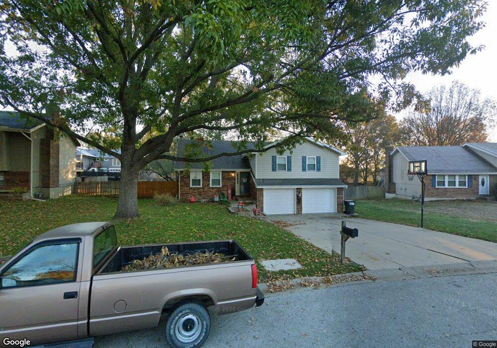
109 Brookridge St Lansing, KS 66043
Estimated Value: $267,000 - $307,000
4
Beds
3
Baths
1,297
Sq Ft
$220/Sq Ft
Est. Value
About This Home
This home is located at 109 Brookridge St, Lansing, KS 66043 and is currently estimated at $285,979, approximately $220 per square foot. 109 Brookridge St is a home located in Leavenworth County with nearby schools including Lansing Elementary School, Lansing Middle 6-8, and Lansing High 9-12.
Ownership History
Date
Name
Owned For
Owner Type
Purchase Details
Closed on
Mar 1, 2003
Bought by
Babcock David W and Babcock Linda A
Current Estimated Value
Home Financials for this Owner
Home Financials are based on the most recent Mortgage that was taken out on this home.
Original Mortgage
$157,916
Outstanding Balance
$120,754
Interest Rate
5.79%
Mortgage Type
FHA
Estimated Equity
$165,225
Create a Home Valuation Report for This Property
The Home Valuation Report is an in-depth analysis detailing your home's value as well as a comparison with similar homes in the area
Home Values in the Area
Average Home Value in this Area
Purchase History
| Date | Buyer | Sale Price | Title Company |
|---|---|---|---|
| Babcock David W | $129,000 | -- |
Source: Public Records
Mortgage History
| Date | Status | Borrower | Loan Amount |
|---|---|---|---|
| Open | Babcock David W | $157,916 | |
| Closed | Babcock David W | $163,637 |
Source: Public Records
Tax History Compared to Growth
Tax History
| Year | Tax Paid | Tax Assessment Tax Assessment Total Assessment is a certain percentage of the fair market value that is determined by local assessors to be the total taxable value of land and additions on the property. | Land | Improvement |
|---|---|---|---|---|
| 2025 | $5,539 | $28,631 | $5,285 | $23,346 |
| 2024 | $5,321 | $28,631 | $4,181 | $24,450 |
| 2023 | $5,321 | $27,529 | $4,181 | $23,348 |
| 2022 | $6,039 | $25,027 | $3,191 | $21,836 |
| 2021 | $4,928 | $21,240 | $3,191 | $18,049 |
| 2020 | $4,726 | $20,573 | $3,191 | $17,382 |
| 2019 | $4,717 | $18,998 | $3,191 | $15,807 |
| 2018 | $4,891 | $17,871 | $2,636 | $15,235 |
| 2017 | $4,821 | $17,282 | $2,636 | $14,646 |
| 2016 | $4,456 | $17,111 | $2,636 | $14,475 |
| 2015 | $3,597 | $17,111 | $2,636 | $14,475 |
| 2014 | $3,813 | $17,111 | $2,636 | $14,475 |
Source: Public Records
Map
Nearby Homes
- 20958 Ida St
- 415 Fairlane St
- 129 Crestview Ct
- 129 Brookwood St
- 268 Holiday Dr
- 542 Creekside Ct
- 124 S Main St
- 202 S Main St
- 527 S Valley Dr
- 218 E Kay St
- 104 Olive St
- 310 E Kansas Ave
- 306 E Kay St
- 1102 N Main St
- 4 Eisenhower Rd
- 1100 N 4th St
- 1102 N 4th St
- 728 Eisenhower Rd
- 811 4-H Rd
- 546 Hithergreen Dr
- 111 Brookridge St
- 107 Brookridge St
- 116 Bittersweet Ln
- 113 Brookridge St
- 132 Bittersweet Ln
- 105 Brookridge St
- 108 Bittersweet Ln
- 106 Brookridge St
- 200 Bittersweet Ln
- 112 Brookridge St
- 627 Ida St
- 115 Brookridge St
- 600 Ida St
- 208 Bittersweet Ln
- 103 Ferncliff St
- 102 Ferncliff St
- 114 Brookridge St
- 117 Brookridge St
- 524 Oakbrook Dr
- 519 Oakbrook Dr