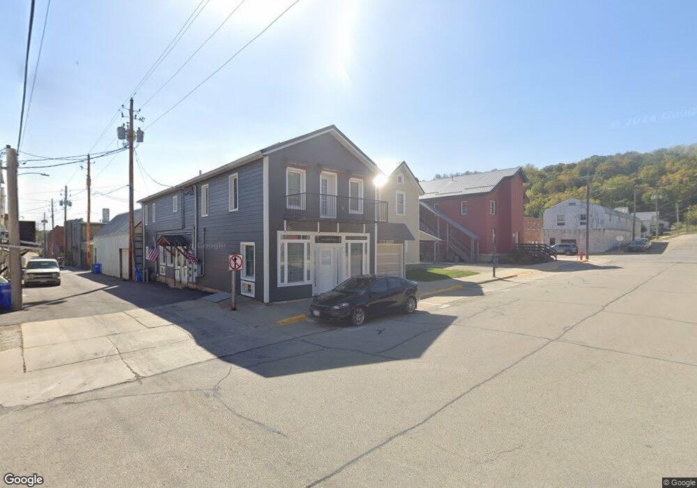
109 Cedar St NW Elkader, IA 52043
Estimated Value: $98,282 - $178,000
4
Beds
2
Baths
1,684
Sq Ft
$75/Sq Ft
Est. Value
About This Home
This home is located at 109 Cedar St NW, Elkader, IA 52043 and is currently estimated at $127,071, approximately $75 per square foot. 109 Cedar St NW is a home with nearby schools including Central Elementary School and Central Middle School/High School.
Ownership History
Date
Name
Owned For
Owner Type
Purchase Details
Closed on
Aug 20, 2007
Sold by
Butikofer Joann and Butikofer Dennis L
Bought by
Burington Timothy G and Burington Billie Jo
Current Estimated Value
Home Financials for this Owner
Home Financials are based on the most recent Mortgage that was taken out on this home.
Original Mortgage
$62,500
Outstanding Balance
$40,568
Interest Rate
7.25%
Mortgage Type
Future Advance Clause Open End Mortgage
Estimated Equity
$86,503
Create a Home Valuation Report for This Property
The Home Valuation Report is an in-depth analysis detailing your home's value as well as a comparison with similar homes in the area
Home Values in the Area
Average Home Value in this Area
Purchase History
| Date | Buyer | Sale Price | Title Company |
|---|---|---|---|
| Burington Timothy G | $62,500 | None Available |
Source: Public Records
Mortgage History
| Date | Status | Borrower | Loan Amount |
|---|---|---|---|
| Open | Burington Timothy G | $62,500 |
Source: Public Records
Tax History Compared to Growth
Tax History
| Year | Tax Paid | Tax Assessment Tax Assessment Total Assessment is a certain percentage of the fair market value that is determined by local assessors to be the total taxable value of land and additions on the property. | Land | Improvement |
|---|---|---|---|---|
| 2025 | $1,632 | $78,263 | $5,155 | $73,108 |
| 2024 | $1,484 | $65,292 | $4,483 | $60,809 |
| 2023 | $1,330 | $65,292 | $4,483 | $60,809 |
| 2022 | $1,230 | $50,917 | $4,075 | $46,842 |
| 2021 | $1,110 | $50,917 | $4,075 | $46,842 |
| 2020 | $1,110 | $48,026 | $4,075 | $43,951 |
| 2019 | $1,068 | $48,026 | $4,075 | $43,951 |
| 2018 | $1,068 | $47,229 | $4,075 | $43,154 |
| 2017 | $1,052 | $47,229 | $4,075 | $43,154 |
| 2015 | $1,112 | $48,450 | $6,353 | $42,097 |
| 2014 | $1,046 | $48,450 | $6,353 | $42,097 |
Source: Public Records
Map
Nearby Homes
- 301 N 1st St
- 117 S Main St
- 209 2nd St SW
- 302 N 3rd St
- 702 N Main St
- 707 N Main St
- 0 E Bridge St
- 710 Woodland Dr NW
- 247 Franzen Ridge Rd
- 249 Franzen Ridge Rd
- 27766 Highway 13
- 0 13 Hwy Unit NBR20255145
- 27455 Harbor Rd
- 14149 Iowa 56
- 0 Grandview Rd
- TBD Country Rd
- 305 S Russell St
- TBD Birch Rd
- 108 Adams Ct
- 306 S Monroe St