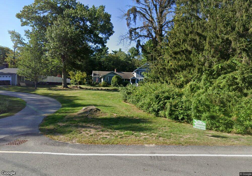
109 Clapp Rd Scituate, MA 02066
Estimated Value: $675,000 - $1,211,000
3
Beds
1
Bath
3,052
Sq Ft
$328/Sq Ft
Est. Value
About This Home
This home is located at 109 Clapp Rd, Scituate, MA 02066 and is currently estimated at $1,001,156, approximately $328 per square foot. 109 Clapp Rd is a home located in Plymouth County with nearby schools including Hatherly Elementary School, Lester J. Gates Middle School, and Scituate High School.
Ownership History
Date
Name
Owned For
Owner Type
Purchase Details
Closed on
Apr 24, 2003
Sold by
Foster Ernest W and Foster Barbara A
Bought by
One Hundred Nine Clapp
Current Estimated Value
Purchase Details
Closed on
Jul 2, 1987
Sold by
Ryder Adm Malba B
Bought by
Foster Ernest W
Create a Home Valuation Report for This Property
The Home Valuation Report is an in-depth analysis detailing your home's value as well as a comparison with similar homes in the area
Home Values in the Area
Average Home Value in this Area
Purchase History
| Date | Buyer | Sale Price | Title Company |
|---|---|---|---|
| One Hundred Nine Clapp | -- | -- | |
| Foster Ernest W | $155,000 | -- |
Source: Public Records
Mortgage History
| Date | Status | Borrower | Loan Amount |
|---|---|---|---|
| Previous Owner | Foster Ernest W | $275,000 | |
| Previous Owner | Foster Ernest W | $25,000 | |
| Previous Owner | Foster Ernest W | $136,000 | |
| Previous Owner | Foster Ernest W | $15,000 |
Source: Public Records
Map
Nearby Homes
- 0 Bates Ln (Lot E Kevin's Way) Unit 73419598
- 453 Clapp Rd
- 449 Clapp Rd
- 451 Clapp Rd
- 453 - 455 Clapp Rd
- 11 Forest Ln
- 9 Forest Ln Unit 9
- 764 First Parish Rd
- 627 First Parish Rd
- 701 Country Way
- 67 Pratt Rd
- 165 R Summer St
- 537 First Parish Rd
- 27 Ox Pasture Ln
- 629 Country Way
- 817 Country Way
- 71 Ledgewood Dr
- 26 Mordecai Lincoln Rd
- 34 Flintlock Ridge Rd
- 49 Whittier Dr
Your Personal Tour Guide
Ask me questions while you tour the home.