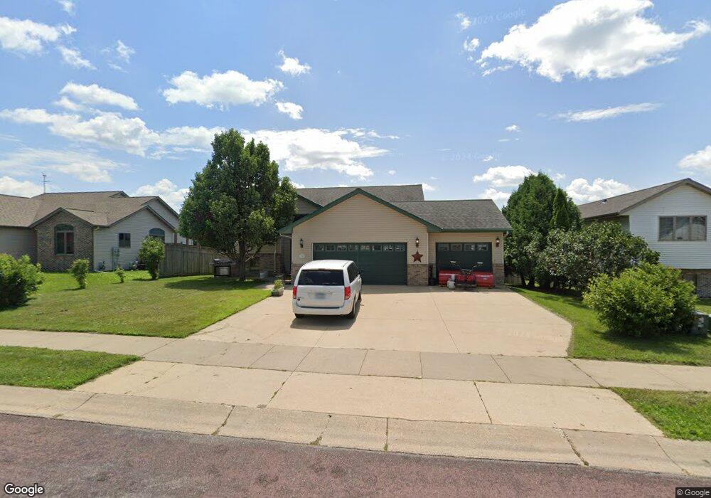
109 Cole Ct Mankato, MN 56001
Buscher Park NeighborhoodEstimated Value: $376,000 - $410,000
4
Beds
3
Baths
1,348
Sq Ft
$288/Sq Ft
Est. Value
About This Home
This home is located at 109 Cole Ct, Mankato, MN 56001 and is currently estimated at $387,718, approximately $287 per square foot. 109 Cole Ct is a home located in Blue Earth County with nearby schools including Rosa Parks Elementary School, Prairie Winds Middle School, and Mankato East Senior High School.
Ownership History
Date
Name
Owned For
Owner Type
Purchase Details
Closed on
Jul 21, 2008
Sold by
Stenzel Michael J and Stenzel Susan M
Bought by
Elm Care Inc
Current Estimated Value
Home Financials for this Owner
Home Financials are based on the most recent Mortgage that was taken out on this home.
Original Mortgage
$178,000
Interest Rate
5.19%
Mortgage Type
Purchase Money Mortgage
Create a Home Valuation Report for This Property
The Home Valuation Report is an in-depth analysis detailing your home's value as well as a comparison with similar homes in the area
Home Values in the Area
Average Home Value in this Area
Purchase History
| Date | Buyer | Sale Price | Title Company |
|---|---|---|---|
| Elm Care Inc | $222,900 | -- |
Source: Public Records
Mortgage History
| Date | Status | Borrower | Loan Amount |
|---|---|---|---|
| Previous Owner | Elm Care Inc | $178,000 |
Source: Public Records
Tax History
| Year | Tax Paid | Tax Assessment Tax Assessment Total Assessment is a certain percentage of the fair market value that is determined by local assessors to be the total taxable value of land and additions on the property. | Land | Improvement |
|---|---|---|---|---|
| 2025 | $4,196 | $380,500 | $38,000 | $342,500 |
| 2024 | $4,196 | $369,500 | $38,000 | $331,500 |
| 2023 | $4,186 | $373,200 | $38,000 | $335,200 |
| 2022 | $3,724 | $357,000 | $38,000 | $319,000 |
| 2021 | $3,694 | $292,900 | $38,000 | $254,900 |
| 2020 | $3,490 | $272,600 | $38,000 | $234,600 |
| 2019 | $3,280 | $272,600 | $38,000 | $234,600 |
| 2018 | $3,022 | $255,500 | $34,500 | $221,000 |
| 2017 | $2,706 | $236,600 | $34,500 | $202,100 |
| 2016 | $2,648 | $221,500 | $34,500 | $187,000 |
| 2015 | $25 | $217,700 | $34,500 | $183,200 |
| 2014 | $2,596 | $630,300 | $103,500 | $526,800 |
Source: Public Records
Map
Nearby Homes
- TBD Woodridge
- 108 Ella Ct
- 113 Sunburst Cir
- 216 S Brook Cir
- TBD S Brook Way
- 436 W Hudson Ave
- 111 Newton St
- 0 Tbd South Brook Way
- 112 Saint Ann St
- 300 Viking Dr
- 2 A Madison Ave
- 0 Oak Marsh Dr
- 317 Oak Marsh Dr
- 136 Quail Path
- 107 Priscilla Ct
- 128 Oak Marsh Dr
- 100 Tattler Ln
- 248 Quail Path
- 105 Swan Ln
- 0 Applewood Ct
Your Personal Tour Guide
Ask me questions while you tour the home.