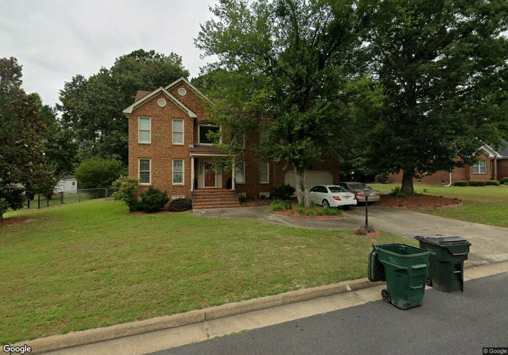
109 Cove Point Dr Suffolk, VA 23434
Holy Neck NeighborhoodEstimated Value: $445,000 - $456,000
4
Beds
3
Baths
2,635
Sq Ft
$171/Sq Ft
Est. Value
About This Home
This home is located at 109 Cove Point Dr, Suffolk, VA 23434 and is currently estimated at $449,689, approximately $170 per square foot. 109 Cove Point Dr is a home located in Suffolk City with nearby schools including Kilby Shores Elementary School, Forest Glen Middle School, and Lakeland High School.
Ownership History
Date
Name
Owned For
Owner Type
Purchase Details
Closed on
Aug 9, 2024
Sold by
Wilkins Andrea T and Royster Cynthia T
Bought by
Anderson Carolynn P and Anderson Alexander L
Current Estimated Value
Home Financials for this Owner
Home Financials are based on the most recent Mortgage that was taken out on this home.
Original Mortgage
$462,943
Outstanding Balance
$456,427
Interest Rate
6.86%
Mortgage Type
VA
Estimated Equity
-$6,738
Create a Home Valuation Report for This Property
The Home Valuation Report is an in-depth analysis detailing your home's value as well as a comparison with similar homes in the area
Home Values in the Area
Average Home Value in this Area
Purchase History
| Date | Buyer | Sale Price | Title Company |
|---|---|---|---|
| Anderson Carolynn P | $453,200 | Old Republic National Title In |
Source: Public Records
Mortgage History
| Date | Status | Borrower | Loan Amount |
|---|---|---|---|
| Open | Anderson Carolynn P | $462,943 |
Source: Public Records
Tax History
| Year | Tax Paid | Tax Assessment Tax Assessment Total Assessment is a certain percentage of the fair market value that is determined by local assessors to be the total taxable value of land and additions on the property. | Land | Improvement |
|---|---|---|---|---|
| 2025 | $5,064 | $431,200 | $85,000 | $346,200 |
| 2024 | $5,064 | $389,000 | $85,000 | $304,000 |
| 2023 | $4,555 | $380,300 | $85,000 | $295,300 |
| 2022 | $3,650 | $334,900 | $85,000 | $249,900 |
| 2021 | $3,350 | $301,800 | $51,900 | $249,900 |
| 2020 | $3,127 | $281,700 | $51,900 | $229,800 |
| 2019 | $2,906 | $261,800 | $51,900 | $209,900 |
| 2018 | $2,908 | $264,300 | $51,900 | $212,400 |
| 2017 | $2,828 | $264,300 | $51,900 | $212,400 |
| 2016 | $2,719 | $254,100 | $51,900 | $202,200 |
| 2015 | $1,492 | $244,100 | $51,900 | $192,200 |
| 2014 | $1,492 | $246,000 | $51,900 | $194,100 |
Source: Public Records
Map
Nearby Homes
- 1665 Holland Rd
- 1673 Faulk Rd
- 215 Summerfield Ct
- 118 Winterview Dr
- 2027 Kilby Ln
- 1717 Colonial Ave
- 2022 Holland Rd
- 2028 Holland Rd
- 323 Sherwood Dr
- 19 Grove Ave
- 138 Beechwood Dr
- 202 Grove Ave
- 207 Beechwood Dr
- 1516 Wilkins Dr
- 2037 Brians Ln
- SALEM Plan at Brewers Meadows South
- PENWELL Plan at Brewers Meadows South
- HAYDEN Plan at Brewers Meadows South
- GALEN Plan at Brewers Meadows South
- HANOVER Plan at Brewers Meadows South
- 111 Cove Point Dr
- 107 Cove Point Dr
- 129 Cove Point Dr
- 108 Cove Point Dr
- 115 Cove Point Dr
- 131 Cove Point Dr
- 110 Cove Point Dr
- 127 Cove Point Dr
- 105 Cove Point Dr
- 106 Cove Point Dr
- 121 Cove Point Dr
- 112 Cove Point Dr
- 114 Cove Point Dr
- 103 Cove Point Dr
- 116 Cove Point Dr
- 132 Cove Point Dr
- 130 Cove Point Dr
- 118 Cove Point Dr
- 128 Cove Point Dr
- 101 Cove Point Dr