109 Craig Dr Ariel, WA 98603
Yale NeighborhoodEstimated Value: $1,225,000 - $1,899,000
5
Beds
4
Baths
3,448
Sq Ft
$481/Sq Ft
Est. Value
About This Home
This home is located at 109 Craig Dr, Ariel, WA 98603 and is currently estimated at $1,659,279, approximately $481 per square foot. 109 Craig Dr is a home located in Cowlitz County with nearby schools including Woodland High School.
Ownership History
Date
Name
Owned For
Owner Type
Purchase Details
Closed on
Mar 29, 2012
Sold by
Pleasants Gary Eugene and Pleasants Mary Kay
Bought by
Pleasants Gary Eugene and Pleasants Mary Kay
Current Estimated Value
Home Financials for this Owner
Home Financials are based on the most recent Mortgage that was taken out on this home.
Original Mortgage
$223,000
Interest Rate
3.83%
Mortgage Type
New Conventional
Purchase Details
Closed on
Apr 20, 2009
Sold by
Pleasants Gary E and Pleasants Mary K
Bought by
Pleasants Gary Eugene and Pleasants Mary Kay
Create a Home Valuation Report for This Property
The Home Valuation Report is an in-depth analysis detailing your home's value as well as a comparison with similar homes in the area
Home Values in the Area
Average Home Value in this Area
Purchase History
| Date | Buyer | Sale Price | Title Company |
|---|---|---|---|
| Pleasants Gary Eugene | -- | Cowlitz County Title Company | |
| Pleasants Gary Eugene | -- | Cowlitz County Title Company | |
| Pleasants Gary Eugene | -- | None Available |
Source: Public Records
Mortgage History
| Date | Status | Borrower | Loan Amount |
|---|---|---|---|
| Closed | Pleasants Gary Eugene | $223,000 |
Source: Public Records
Tax History Compared to Growth
Tax History
| Year | Tax Paid | Tax Assessment Tax Assessment Total Assessment is a certain percentage of the fair market value that is determined by local assessors to be the total taxable value of land and additions on the property. | Land | Improvement |
|---|---|---|---|---|
| 2024 | $18,623 | $1,612,310 | $675,240 | $937,070 |
| 2023 | $14,712 | $1,536,510 | $675,240 | $861,270 |
| 2022 | $14,216 | $1,493,370 | $577,130 | $916,240 |
| 2021 | $14,089 | $1,278,970 | $549,650 | $729,320 |
| 2020 | $12,441 | $1,218,250 | $549,650 | $668,600 |
| 2019 | $10,882 | $1,044,904 | $549,654 | $495,250 |
| 2018 | $12,812 | $976,590 | $549,650 | $426,940 |
| 2017 | $10,469 | $932,510 | $523,480 | $409,030 |
| 2016 | $9,999 | $834,040 | $484,700 | $349,340 |
| 2015 | $11,144 | $799,890 | $475,200 | $324,690 |
| 2013 | -- | $744,160 | $432,000 | $312,160 |
Source: Public Records
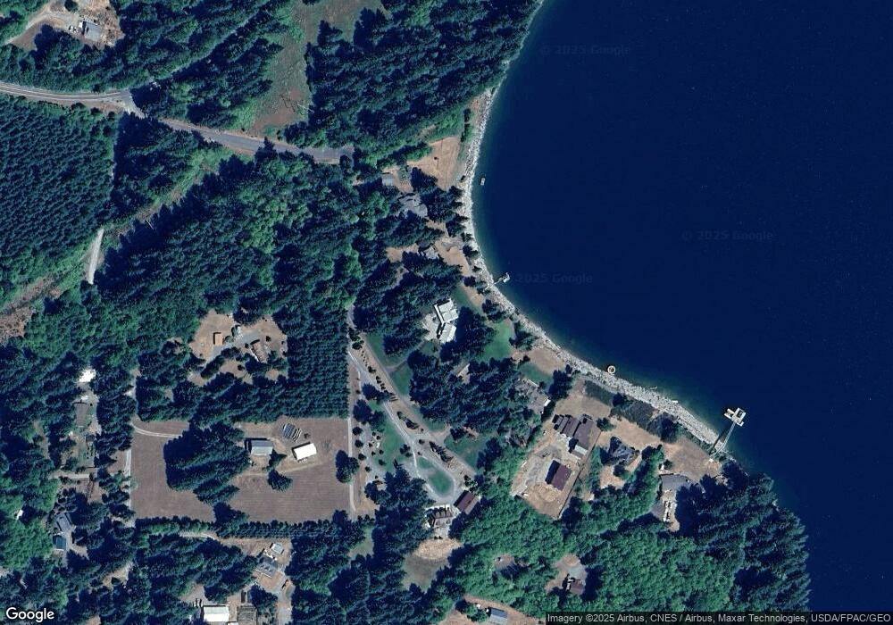
Map
Nearby Homes
- 116 Mulkey Ln
- 114 Wild Daisy Dr
- 155 Irene Ln
- 14644 Lewis River Rd
- 305 Fir Rd
- 260 Bald Eagle Rd
- 118 Bald Eagle Rd
- 11846 Lewis River Rd
- 168 Yale Landing Rd
- 0 Knightsbridge Rd Unit 787378359
- 192 Stuart Field Ln
- 308 Saddle Rd
- 0 Knights Bridge Rd Unit NWM2455713
- 251 Mystery Dr
- 16790 Lewis River Rd
- 217 Ham Rd
- 145 Elk Ln
- 174 Northwoods
- 45505 NE Yale Bridge Rd
- 0 Usfs 81 Rd Unit 23359978
- 105 Craig Dr
- 121 Craig Dr
- 125 Craig Dr
- 101 Craig Dr Unit 1
- 139 Aultman Rd
- 129 Craig Dr
- 147 Aultman Rd
- 135 Craig Dr
- 133 Craig Dr
- 185 Aultman Rd
- 197 Aultman Rd
- 0 Lewis River Rd Unit 1366276
- 0 Lewis River Rd Unit 1182650
- 0 Lewis River Rd Unit 9012421
- 0 Lewis River Rd Unit 10039268
- 0 Lewis River Rd Unit 18620682
- 174 Aultman Rd
- 156 Aultman Rd
- 15066 Lewis River Rd