109 Curtis Pond Rd Thorndike, ME 04986
Estimated Value: $225,000 - $254,842
--
Bed
--
Bath
--
Sq Ft
32.1
Acres
About This Home
This home is located at 109 Curtis Pond Rd, Thorndike, ME 04986 and is currently estimated at $239,614. 109 Curtis Pond Rd is a home located in Waldo County with nearby schools including Mt. View Middle School and Mt. View High School.
Ownership History
Date
Name
Owned For
Owner Type
Purchase Details
Closed on
Mar 7, 2022
Sold by
Giglio Camille and Giglio Frank S
Bought by
Perrin Camille
Current Estimated Value
Purchase Details
Closed on
May 2, 2012
Sold by
Vinci Danielle E and Vinci Justin A
Bought by
Giglio Frank S and Giglio Camille R
Home Financials for this Owner
Home Financials are based on the most recent Mortgage that was taken out on this home.
Original Mortgage
$199,778
Interest Rate
4.08%
Mortgage Type
FHA
Create a Home Valuation Report for This Property
The Home Valuation Report is an in-depth analysis detailing your home's value as well as a comparison with similar homes in the area
Home Values in the Area
Average Home Value in this Area
Purchase History
| Date | Buyer | Sale Price | Title Company |
|---|---|---|---|
| Perrin Camille | -- | None Available | |
| Giglio Frank S | -- | -- |
Source: Public Records
Mortgage History
| Date | Status | Borrower | Loan Amount |
|---|---|---|---|
| Previous Owner | Giglio Frank S | $199,778 |
Source: Public Records
Tax History Compared to Growth
Tax History
| Year | Tax Paid | Tax Assessment Tax Assessment Total Assessment is a certain percentage of the fair market value that is determined by local assessors to be the total taxable value of land and additions on the property. | Land | Improvement |
|---|---|---|---|---|
| 2024 | $2,938 | $158,810 | $42,350 | $116,460 |
| 2023 | $2,766 | $158,070 | $41,610 | $116,460 |
| 2022 | $2,766 | $158,030 | $41,570 | $116,460 |
| 2021 | $3,559 | $150,160 | $32,498 | $117,662 |
| 2020 | $3,692 | $149,485 | $31,823 | $117,662 |
| 2019 | $3,715 | $150,424 | $32,762 | $117,662 |
| 2018 | $3,617 | $150,688 | $33,026 | $117,662 |
| 2017 | $3,708 | $150,138 | $32,476 | $117,662 |
| 2016 | $2,853 | $150,138 | $32,476 | $117,662 |
| 2014 | $2,243 | $147,564 | $29,902 | $117,662 |
| 2013 | -- | $147,520 | $29,858 | $117,662 |
| 2010 | -- | $120,899 | $0 | $0 |
Source: Public Records
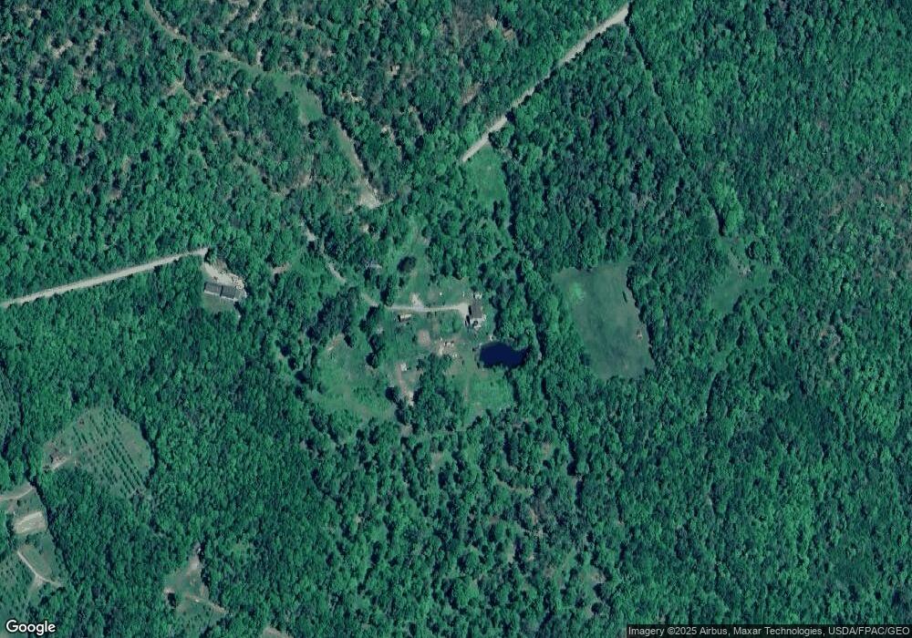
Map
Nearby Homes
- 020 Dodge Rd
- 337 Hatch Rd
- 142 Palmer Rd
- M5L28-5 Moosehead Trail
- 1260 Moosehead Trail
- Lot 4 Jackson Ridge Rd
- 441 Works Rd
- 0 Village Rd Unit LotWP001 24895979
- Lot 5 Jackson Ridge Rd
- 0 Rd
- M1L26-1 Littlefield Rd
- 436 Valley Rd
- M4L14 Village Rd
- 132 Village Rd
- map12lot24 Valley Rd
- 672 & 700 Brooks Rd
- M5L28-5 Moosehead Trail Hwy
- 268 Moosehead Trail Hwy
- 1535 Bailey Rd
- M 4 L 43 Off Route 9 and Route 7
- 105 Curtis Pond Rd
- 0 Curtis Pond Rd
- 255 Dodge Rd
- 269 Dodge Rd
- 64 Curtis Pond Rd
- 47 Curtis Pond Rd
- 00 Curtis Pond Rd
- 264 Dodge Rd
- 269 Files Hill Rd
- 35 Lone Shadow Ln
- 319 Files Hill Rd
- 265 Files Hill Rd
- 0 Gulch
- 14 Ricker Hill Rd
- 10 Ricker Hill Rd
- 276 Files Hill Rd
- 395 Files Hill Rd
- 0 Fr 18 East Gulch Rd
- 0 Files Hill Rd
- 401 Files Hill Rd