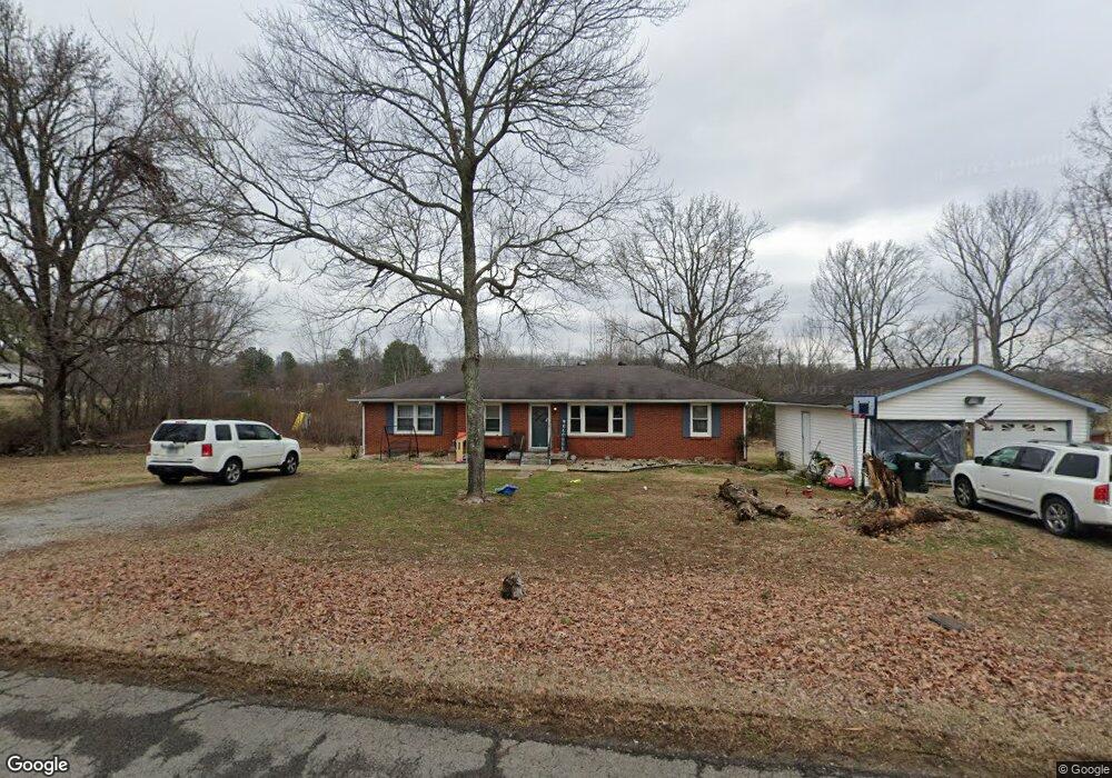
109 Dusty Ln Cottontown, TN 37048
Estimated Value: $281,133 - $381,000
--
Bed
1
Bath
1,418
Sq Ft
$237/Sq Ft
Est. Value
About This Home
This home is located at 109 Dusty Ln, Cottontown, TN 37048 and is currently estimated at $336,033, approximately $236 per square foot. 109 Dusty Ln is a home located in Sumner County with nearby schools including Harold B. Williams Elementary School, White House Middle School, and White House High School.
Ownership History
Date
Name
Owned For
Owner Type
Purchase Details
Closed on
Oct 8, 2004
Sold by
The Estate Of John Dudley Franklin Gant
Bought by
Smith Jason W
Current Estimated Value
Home Financials for this Owner
Home Financials are based on the most recent Mortgage that was taken out on this home.
Original Mortgage
$86,275
Outstanding Balance
$42,556
Interest Rate
5.71%
Mortgage Type
FHA
Estimated Equity
$293,477
Create a Home Valuation Report for This Property
The Home Valuation Report is an in-depth analysis detailing your home's value as well as a comparison with similar homes in the area
Home Values in the Area
Average Home Value in this Area
Purchase History
| Date | Buyer | Sale Price | Title Company |
|---|---|---|---|
| Smith Jason W | $93,000 | Title Escrow |
Source: Public Records
Mortgage History
| Date | Status | Borrower | Loan Amount |
|---|---|---|---|
| Open | Smith Jason W | $86,275 |
Source: Public Records
Tax History Compared to Growth
Tax History
| Year | Tax Paid | Tax Assessment Tax Assessment Total Assessment is a certain percentage of the fair market value that is determined by local assessors to be the total taxable value of land and additions on the property. | Land | Improvement |
|---|---|---|---|---|
| 2024 | $909 | $64,000 | $25,525 | $38,475 |
| 2023 | $912 | $40,500 | $15,450 | $25,050 |
| 2022 | $916 | $40,500 | $15,450 | $25,050 |
| 2021 | $916 | $40,500 | $15,450 | $25,050 |
| 2020 | $916 | $40,500 | $15,450 | $25,050 |
| 2019 | $916 | $0 | $0 | $0 |
| 2018 | $558 | $0 | $0 | $0 |
| 2017 | $558 | $0 | $0 | $0 |
| 2016 | $558 | $0 | $0 | $0 |
| 2015 | -- | $0 | $0 | $0 |
| 2014 | -- | $0 | $0 | $0 |
Source: Public Records
Map
Nearby Homes
- 4210 Tennessee 76
- 4321 Highway 76
- 915 Bowling Branch Rd
- 356 Lee Rd
- 0 Clearview Rd Unit RTC2810113
- 102 Arrowood Dr
- 0 Martin Ln
- 800 Bowling Branch Rd
- 111 Renee Ct
- 174 Circle Dr
- 0 Hwy 25 Unit RTC2752092
- 4755 Highway 76
- 405 Roney Creek Private Cove
- 201 Sheffield Dr
- 143 W Hester Rd
- 3828 U S 31w
- 421 Roney Creek Private Cove
- 102 Garland Ct
- 217 Emmett Dr
- 1130 Adam Dr
- 115 Dusty Ln
- 4041 Highway 76
- 4039 Highway 76
- 4037 Highway 76
- 116 Dusty Ln
- 4109 Highway 76
- 4033 Highway 76
- 122 Dusty Ln
- 4040 Highway 76
- 4040 Tennessee 76
- 4029 Highway 76
- 4040 Tennessee 76
- 4044 Route 76
- 4115 Tennessee 76
- 124 Dusty Ln
- 4044 Highway 76
- 4044 Highway 76
- 4044 Tennessee 76
- 4034 Highway 76
- 76 Highway