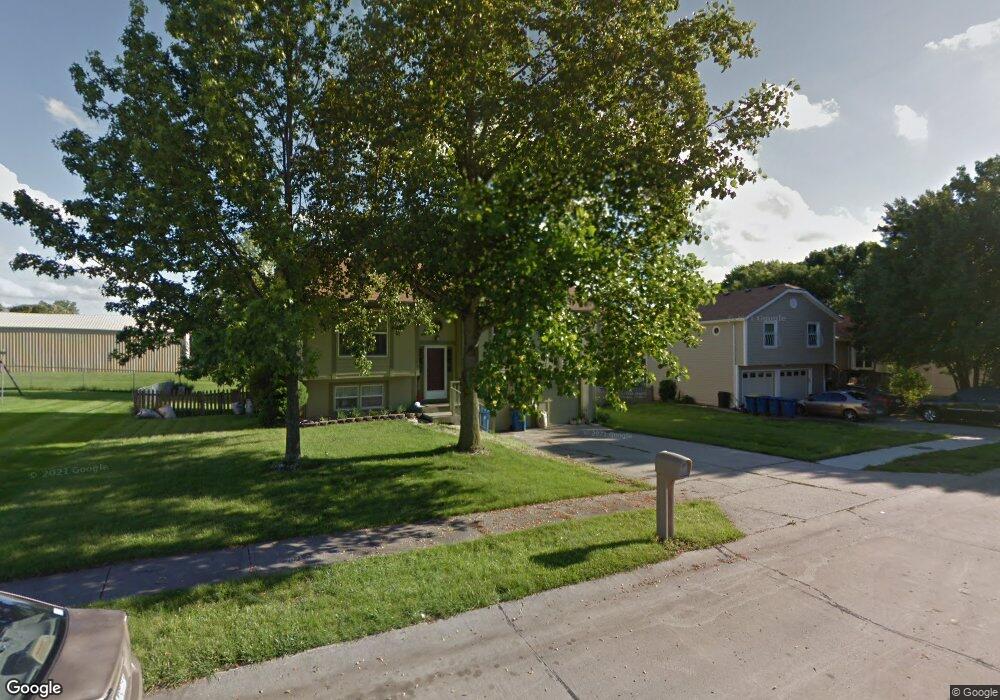
109 E Frank St Kearney, MO 64060
Estimated Value: $254,000 - $274,000
4
Beds
3
Baths
1,132
Sq Ft
$235/Sq Ft
Est. Value
About This Home
This home is located at 109 E Frank St, Kearney, MO 64060 and is currently estimated at $266,552, approximately $235 per square foot. 109 E Frank St is a home located in Clay County with nearby schools including Kearney Junior High School, Kearney High School, and Northern Hills Christian Academy.
Ownership History
Date
Name
Owned For
Owner Type
Purchase Details
Closed on
Jul 13, 2009
Sold by
Hanson John P and Hanson Deanna K
Bought by
Neal Matthew R and Neal Heather B
Current Estimated Value
Home Financials for this Owner
Home Financials are based on the most recent Mortgage that was taken out on this home.
Original Mortgage
$120,772
Outstanding Balance
$78,901
Interest Rate
5.41%
Mortgage Type
FHA
Estimated Equity
$187,651
Purchase Details
Closed on
Mar 10, 2003
Sold by
Morris Troy S and Morris Pamela R
Bought by
Hanson John P and Hanson Deanna K
Home Financials for this Owner
Home Financials are based on the most recent Mortgage that was taken out on this home.
Original Mortgage
$92,800
Interest Rate
5.86%
Create a Home Valuation Report for This Property
The Home Valuation Report is an in-depth analysis detailing your home's value as well as a comparison with similar homes in the area
Home Values in the Area
Average Home Value in this Area
Purchase History
| Date | Buyer | Sale Price | Title Company |
|---|---|---|---|
| Neal Matthew R | -- | Kansas City Title | |
| Hanson John P | -- | Realty Title Company |
Source: Public Records
Mortgage History
| Date | Status | Borrower | Loan Amount |
|---|---|---|---|
| Open | Neal Matthew R | $120,772 | |
| Previous Owner | Hanson John P | $92,800 |
Source: Public Records
Tax History
| Year | Tax Paid | Tax Assessment Tax Assessment Total Assessment is a certain percentage of the fair market value that is determined by local assessors to be the total taxable value of land and additions on the property. | Land | Improvement |
|---|---|---|---|---|
| 2025 | $2,005 | $33,610 | -- | -- |
| 2024 | $2,005 | $29,260 | -- | -- |
| 2023 | $1,998 | $29,260 | $0 | $0 |
| 2022 | $1,879 | $26,600 | $0 | $0 |
| 2021 | $1,842 | $26,600 | $4,180 | $22,420 |
| 2020 | $1,830 | $24,040 | $0 | $0 |
| 2019 | $1,820 | $24,035 | $4,180 | $19,855 |
Source: Public Records
Map
Nearby Homes
- 113 E Frank St
- 102 W Lawrence St
- 9900 NE 172nd St
- Parcel B W Washington St
- Parcel A W Washington St
- 0 W Washington St
- 201 S Marimack Dr
- Parcel C State Route 92
- 200 E 10th St
- 901 Pine Crest Ave
- 1200 W 10th Ave
- 819 Susan St
- 905 Susan St
- 919 E 8th Cir
- 1104 Regency Dr
- 307 W 11th Terrace
- 1202 Noah Ln
- 1204 Noah's Ln
- 1304 S Jefferson St
- 1302 Regency Dr
- 111 E Frank St
- 107 E Frank St
- 106 E Frank St
- 105 E Frank St
- 110 E Frank St
- 104 E Frank St
- 505 N Jefferson St
- 112 E Frank St
- 103 E Frank St
- 516 N Grove St
- 102 E Frank St
- 606 Younger St
- 607 Younger St
- 114 E Frank St
- 512 N Grove St
- 607 N Jesse St
- 101 E Frank St
- 608 Younger St
- 606 N Grove St
- 609 Younger St
Your Personal Tour Guide
Ask me questions while you tour the home.