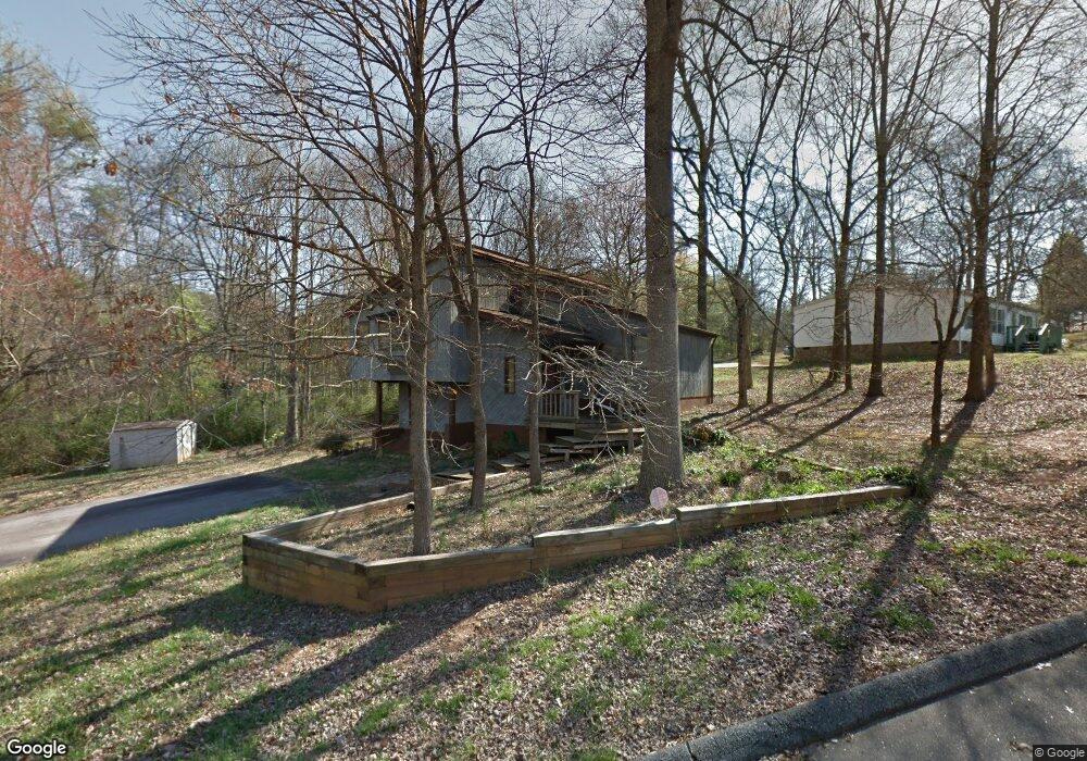
109 E Trace Dr Newton, NC 28658
Estimated Value: $204,000 - $232,000
3
Beds
2
Baths
1,268
Sq Ft
$172/Sq Ft
Est. Value
About This Home
This home is located at 109 E Trace Dr, Newton, NC 28658 and is currently estimated at $217,480, approximately $171 per square foot. 109 E Trace Dr is a home located in Catawba County with nearby schools including North Newton Elementary School, Newton-Conover Middle School, and Newton-Conover High School.
Ownership History
Date
Name
Owned For
Owner Type
Purchase Details
Closed on
Apr 13, 2007
Sold by
Melvin Karen J and Melvin Edward Carroll
Bought by
Thompson Harold W and Thompson Jody M
Current Estimated Value
Home Financials for this Owner
Home Financials are based on the most recent Mortgage that was taken out on this home.
Original Mortgage
$107,100
Outstanding Balance
$64,756
Interest Rate
6.15%
Mortgage Type
Purchase Money Mortgage
Estimated Equity
$152,725
Purchase Details
Closed on
Aug 31, 2001
Purchase Details
Closed on
Jul 1, 1993
Create a Home Valuation Report for This Property
The Home Valuation Report is an in-depth analysis detailing your home's value as well as a comparison with similar homes in the area
Home Values in the Area
Average Home Value in this Area
Purchase History
| Date | Buyer | Sale Price | Title Company |
|---|---|---|---|
| Thompson Harold W | $105,000 | None Available | |
| -- | $98,000 | -- | |
| -- | $70,000 | -- |
Source: Public Records
Mortgage History
| Date | Status | Borrower | Loan Amount |
|---|---|---|---|
| Open | Thompson Harold W | $107,100 |
Source: Public Records
Tax History
| Year | Tax Paid | Tax Assessment Tax Assessment Total Assessment is a certain percentage of the fair market value that is determined by local assessors to be the total taxable value of land and additions on the property. | Land | Improvement |
|---|---|---|---|---|
| 2025 | $1,397 | $164,600 | $5,800 | $158,800 |
| 2024 | $1,397 | $164,600 | $5,800 | $158,800 |
| 2023 | $1,397 | $164,600 | $5,800 | $158,800 |
| 2022 | $1,170 | $104,900 | $5,800 | $99,100 |
| 2021 | $1,170 | $104,900 | $5,800 | $99,100 |
| 2020 | $1,170 | $104,900 | $5,800 | $99,100 |
| 2019 | $1,170 | $104,900 | $0 | $0 |
| 2018 | $1,104 | $99,000 | $5,900 | $93,100 |
| 2017 | $1,104 | $0 | $0 | $0 |
| 2016 | $1,104 | $0 | $0 | $0 |
| 2015 | $1,013 | $98,960 | $5,900 | $93,060 |
| 2014 | $1,013 | $100,300 | $8,200 | $92,100 |
Source: Public Records
Map
Nearby Homes
- 736 E 11th St
- 1128 McRee Heights Cir
- 805 Mount Olive Church Rd
- 827 E 9th St
- 1107 N Davis Ave
- 1208 N Davis Ave
- 1820 N Hewitt Ave
- 1818 N Rankin Ave
- 432 & 436 N Caldwell Ave
- 1687 Golden Cedar Ln
- 1656 Piper Creek Ave
- 2081 N Whisnant Ave
- 210 W 15th St
- 201 N Davis Ave
- 902 N Ashe Ave
- 25 N Davis Ave
- 0000 Burris Rd
- 1522 Cannan Mountain Dr
- 503 W 12th St
- 907 Goforth Rd
- 107 E Trace Dr
- 108 E Trace Dr
- 106 E Trace Dr
- 105 E Trace Dr
- 716 Elizabeth Ct Unit 12
- 716 Elizabeth Ct
- 729 Elizabeth Ct
- 104 E Trace Dr
- 103 E Trace Dr
- 746 E 11th St
- 727 Elizabeth Ct Unit 14
- 727 Elizabeth Ct
- 714 Elizabeth Ct Unit 11
- 714 Elizabeth Ct
- 742 E 11th St
- 101 E Trace Dr
- 1140 McRee Heights Cir Unit 10
- 1140 McRee Heights Cir
- 1133 McRee Heights Cir
- 1136 McRee Heights Cir
Your Personal Tour Guide
Ask me questions while you tour the home.