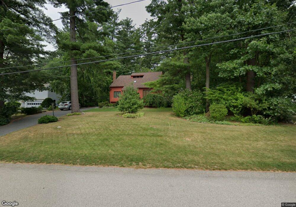
109 Jerrold St Holliston, MA 01746
Estimated Value: $630,000 - $729,000
3
Beds
5
Baths
1,680
Sq Ft
$412/Sq Ft
Est. Value
About This Home
This home is located at 109 Jerrold St, Holliston, MA 01746 and is currently estimated at $692,268, approximately $412 per square foot. 109 Jerrold St is a home located in Middlesex County with nearby schools including Placentino Elementary School, Miller Elementary School, and Robert H. Adams Middle School.
Ownership History
Date
Name
Owned For
Owner Type
Purchase Details
Closed on
Jun 14, 2022
Sold by
Packer Richard S and Packer Emilie H
Bought by
Connors Sasha and Huynh Julia
Current Estimated Value
Purchase Details
Closed on
Oct 16, 1980
Bought by
Packer Richard S and Packer Emilie H
Create a Home Valuation Report for This Property
The Home Valuation Report is an in-depth analysis detailing your home's value as well as a comparison with similar homes in the area
Home Values in the Area
Average Home Value in this Area
Purchase History
| Date | Buyer | Sale Price | Title Company |
|---|---|---|---|
| Connors Sasha | -- | None Available | |
| Packer Richard S | $58,000 | -- |
Source: Public Records
Mortgage History
| Date | Status | Borrower | Loan Amount |
|---|---|---|---|
| Previous Owner | Packer Richard S | $172,000 | |
| Previous Owner | Packer Richard S | $40,000 | |
| Previous Owner | Packer Richard S | $70,000 |
Source: Public Records
Tax History
| Year | Tax Paid | Tax Assessment Tax Assessment Total Assessment is a certain percentage of the fair market value that is determined by local assessors to be the total taxable value of land and additions on the property. | Land | Improvement |
|---|---|---|---|---|
| 2025 | $8,750 | $597,300 | $249,500 | $347,800 |
| 2024 | $7,861 | $522,000 | $249,500 | $272,500 |
| 2023 | $7,916 | $514,000 | $249,500 | $264,500 |
| 2022 | $8,146 | $468,700 | $249,500 | $219,200 |
| 2021 | $8,163 | $457,300 | $238,100 | $219,200 |
| 2020 | $7,925 | $420,400 | $214,600 | $205,800 |
| 2019 | $7,762 | $412,200 | $208,300 | $203,900 |
| 2018 | $7,696 | $412,200 | $208,300 | $203,900 |
| 2017 | $7,754 | $418,700 | $212,600 | $206,100 |
| 2016 | $7,260 | $386,400 | $182,600 | $203,800 |
| 2015 | $6,349 | $327,600 | $148,000 | $179,600 |
Source: Public Records
Map
Nearby Homes
- 50 Morgans Way
- 147 N Mill St
- 48 Hemlock Dr
- 35 Peter St
- Lot 2 Hanlon Rd
- 22 Greenview Dr
- 1 Westfield Rd
- 54 Garett Way Unit 54
- 37 Garett Way Unit 37
- 33 Garett Way Unit 33
- 154 Union St
- 1366 Washington St
- 26 Mechanic St
- 45 Wendy Ln
- 4 Emerald Dr
- 2 Emerald Dr
- 1 Emerald Dr
- 4 Bullard Cir
- 25 Irving Place
- 261 Rolling Meadow Dr
- 117 Jerrold St
- 101 Jerrold St
- 203 Chamberlain St
- 104 Jerrold St
- 125 Jerrold St
- 112 Jerrold St
- 193 Chamberlain St
- 93 Jerrold St
- 96 Jerrold St
- 213 Chamberlain St
- 120 Jerrold St
- 133 Jerrold St
- 88 Jerrold St
- 223 Chamberlain St
- 128 Jerrold St
- 173 Chamberlain St
- 81 Jerrold St
- 80 Jerrold St
- 136 Jerrold St
- 141 Jerrold St
Your Personal Tour Guide
Ask me questions while you tour the home.