109 Kodish Mtn Ln Nicholson, PA 18446
Estimated Value: $167,586 - $303,000
--
Bed
--
Bath
--
Sq Ft
1.21
Acres
About This Home
This home is located at 109 Kodish Mtn Ln, Nicholson, PA 18446 and is currently estimated at $250,397. 109 Kodish Mtn Ln is a home located in Wyoming County with nearby schools including Lackawanna Trail Elementary Center and Lackawanna Trail Junior/Senior High School.
Ownership History
Date
Name
Owned For
Owner Type
Purchase Details
Closed on
Apr 23, 2008
Sold by
Miller Gary E and Miller Kathleen M
Bought by
Miller Gary E and Bush June E
Current Estimated Value
Home Financials for this Owner
Home Financials are based on the most recent Mortgage that was taken out on this home.
Original Mortgage
$120,000
Outstanding Balance
$75,856
Interest Rate
5.93%
Mortgage Type
New Conventional
Estimated Equity
$174,541
Purchase Details
Closed on
Jan 18, 2006
Sold by
Allen Kathleen A and Allen Kathleen M
Bought by
Allen Kathleen M
Home Financials for this Owner
Home Financials are based on the most recent Mortgage that was taken out on this home.
Original Mortgage
$132,000
Interest Rate
6.5%
Mortgage Type
Adjustable Rate Mortgage/ARM
Create a Home Valuation Report for This Property
The Home Valuation Report is an in-depth analysis detailing your home's value as well as a comparison with similar homes in the area
Home Values in the Area
Average Home Value in this Area
Purchase History
| Date | Buyer | Sale Price | Title Company |
|---|---|---|---|
| Miller Gary E | $150,000 | None Available | |
| Allen Kathleen M | -- | None Available |
Source: Public Records
Mortgage History
| Date | Status | Borrower | Loan Amount |
|---|---|---|---|
| Open | Miller Gary E | $120,000 | |
| Previous Owner | Allen Kathleen M | $132,000 |
Source: Public Records
Tax History Compared to Growth
Tax History
| Year | Tax Paid | Tax Assessment Tax Assessment Total Assessment is a certain percentage of the fair market value that is determined by local assessors to be the total taxable value of land and additions on the property. | Land | Improvement |
|---|---|---|---|---|
| 2025 | $3,010 | $24,710 | $2,725 | $21,985 |
| 2024 | $3,010 | $24,710 | $2,725 | $21,985 |
| 2023 | $2,999 | $24,710 | $2,725 | $21,985 |
| 2022 | $3,011 | $24,710 | $2,725 | $21,985 |
| 2021 | $2,998 | $24,710 | $2,725 | $21,985 |
| 2020 | $3,054 | $24,710 | $2,725 | $21,985 |
| 2019 | $2,932 | $23,750 | $2,750 | $21,000 |
| 2018 | $2,844 | $23,750 | $2,750 | $21,000 |
| 2017 | $2,740 | $0 | $0 | $0 |
| 2016 | -- | $0 | $0 | $0 |
| 2015 | -- | $0 | $0 | $0 |
| 2014 | -- | $0 | $0 | $0 |
Source: Public Records
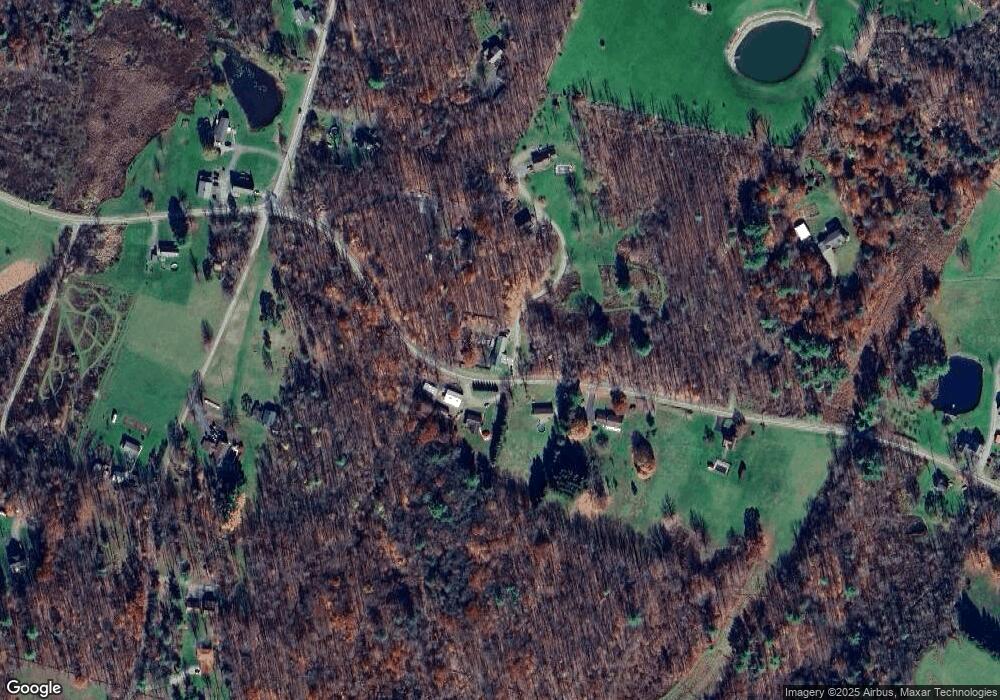
Map
Nearby Homes
- 145 Tunnel Rd
- 135 Pedrick Rd
- 173 Pedrick Rd
- 307 Valley Ln
- 330 Pedrick Rd
- 214 Lake Rd
- 672 Spencer Hill Rd
- 180 Savage Rd
- 0 Lewis Unit GSBSC254197
- 0 Us Highway 6 Unit 156424
- 70 State St
- 24 Oak St
- 289 Main St
- 159 Vail Rd
- 141 College Ave
- 105 College Ave
- 98 College Ave
- 73 College Ave
- 49 College Ave
- 43 College Ave