109 Kristine Ave NE Elkader, IA 52043
Estimated Value: $212,000 - $276,168
--
Bed
3
Baths
2,272
Sq Ft
$112/Sq Ft
Est. Value
About This Home
This home is located at 109 Kristine Ave NE, Elkader, IA 52043 and is currently estimated at $254,042, approximately $111 per square foot. 109 Kristine Ave NE is a home located in Clayton County with nearby schools including Central Elementary School and Central Middle School/High School.
Ownership History
Date
Name
Owned For
Owner Type
Purchase Details
Closed on
Mar 31, 2020
Sold by
Sylvester Larry
Bought by
Sylvester Joe and Sylvester Tammy
Current Estimated Value
Home Financials for this Owner
Home Financials are based on the most recent Mortgage that was taken out on this home.
Original Mortgage
$95,987
Outstanding Balance
$84,663
Interest Rate
3.4%
Mortgage Type
New Conventional
Estimated Equity
$169,379
Create a Home Valuation Report for This Property
The Home Valuation Report is an in-depth analysis detailing your home's value as well as a comparison with similar homes in the area
Home Values in the Area
Average Home Value in this Area
Purchase History
| Date | Buyer | Sale Price | Title Company |
|---|---|---|---|
| Sylvester Joe | $59,125 | None Available |
Source: Public Records
Mortgage History
| Date | Status | Borrower | Loan Amount |
|---|---|---|---|
| Open | Sylvester Joe | $95,987 |
Source: Public Records
Tax History Compared to Growth
Tax History
| Year | Tax Paid | Tax Assessment Tax Assessment Total Assessment is a certain percentage of the fair market value that is determined by local assessors to be the total taxable value of land and additions on the property. | Land | Improvement |
|---|---|---|---|---|
| 2025 | $5,262 | $260,058 | $31,894 | $228,164 |
| 2024 | $4,778 | $220,760 | $27,734 | $193,026 |
| 2023 | $4,286 | $220,760 | $27,734 | $193,026 |
| 2022 | $3,966 | $173,051 | $25,279 | $147,772 |
| 2021 | $3,622 | $173,051 | $25,279 | $147,772 |
| 2020 | $3,622 | $165,197 | $25,279 | $139,918 |
| 2019 | $3,372 | $165,197 | $25,279 | $139,918 |
| 2018 | $3,372 | $157,633 | $25,279 | $132,354 |
| 2017 | $3,484 | $157,633 | $25,279 | $132,354 |
| 2015 | $2,724 | $127,500 | $14,381 | $113,119 |
| 2014 | $2,560 | $127,500 | $14,381 | $113,119 |
Source: Public Records
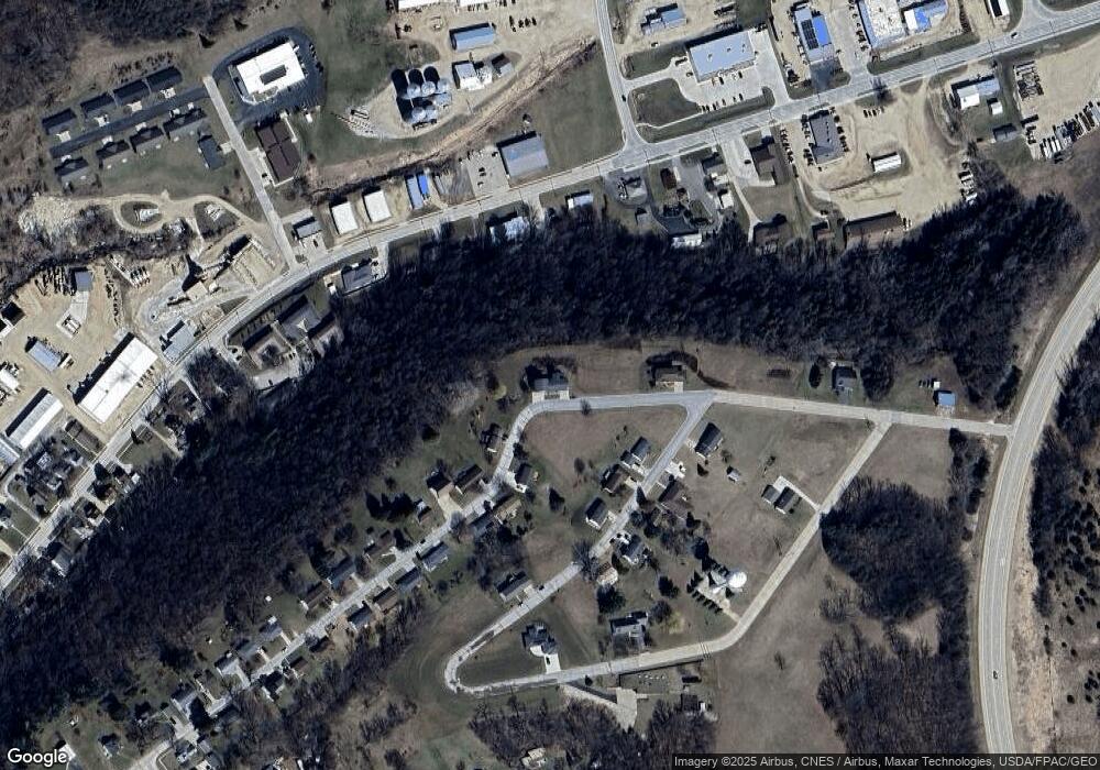
Map
Nearby Homes
- 302 N 3rd St
- 0 E Bridge St
- 702 N Main St
- 117 S Main St
- 707 N Main St
- 301 N 1st St
- 209 2nd St SW
- 710 Woodland Dr NW
- 249 Franzen Ridge Rd
- 247 Franzen Ridge Rd
- 26642 Iowa 13
- 27766 Highway 13
- 0 13 Hwy Unit NBR20255145
- 27455 Harbor Rd
- 14149 Iowa 56
- 0 Grandview Rd
- 305 S Russell St
- TBD Country Rd
- TBD Birch Rd
- 100 Volga St
- Lot Breezy Summit Addition Ave
- 105 Kristine Ave NE
- 11 Parcels Breezy Summit
- 106 Kristine Ave NE
- 104 Maxie Ave NE
- 712 High St NE
- Lot 6 Breezy Summit
- 106 Maxie Ave NE
- 517 Oak St NE
- 115 Kristine Ave NE
- 108 Maxie Ave NE
- 516 Oak St NE
- 710 High St NE
- 514 Oak St NE
- 103 Maxie Ave NE
- Lot 42 Breezy Summit
- 706 High St NE
- 109 Maxie Ave NE
- 111 Maxie Ave NE
- 114 Maxie Ave NE