109 Maple Ln Denver, IA 50622
Estimated Value: $332,165 - $361,000
3
Beds
4
Baths
1,615
Sq Ft
$217/Sq Ft
Est. Value
About This Home
This home is located at 109 Maple Ln, Denver, IA 50622 and is currently estimated at $350,041, approximately $216 per square foot. 109 Maple Ln is a home located in Bremer County with nearby schools including Denver Elementary School, Denver Middle School, and Denver Senior High School.
Ownership History
Date
Name
Owned For
Owner Type
Purchase Details
Closed on
Nov 23, 2010
Sold by
Senn Brenda L and Gruber Brenda L
Bought by
Gruber Joshua A A
Current Estimated Value
Home Financials for this Owner
Home Financials are based on the most recent Mortgage that was taken out on this home.
Original Mortgage
$173,200
Interest Rate
4.23%
Mortgage Type
New Conventional
Create a Home Valuation Report for This Property
The Home Valuation Report is an in-depth analysis detailing your home's value as well as a comparison with similar homes in the area
Home Values in the Area
Average Home Value in this Area
Purchase History
| Date | Buyer | Sale Price | Title Company |
|---|---|---|---|
| Gruber Joshua A A | -- | None Available |
Source: Public Records
Mortgage History
| Date | Status | Borrower | Loan Amount |
|---|---|---|---|
| Closed | Gruber Joshua A A | $173,200 |
Source: Public Records
Tax History Compared to Growth
Tax History
| Year | Tax Paid | Tax Assessment Tax Assessment Total Assessment is a certain percentage of the fair market value that is determined by local assessors to be the total taxable value of land and additions on the property. | Land | Improvement |
|---|---|---|---|---|
| 2025 | $3,912 | $304,900 | $62,200 | $242,700 |
| 2024 | $3,912 | $294,900 | $62,200 | $232,700 |
| 2023 | $3,372 | $271,170 | $51,210 | $219,960 |
| 2022 | $3,240 | $226,360 | $50,660 | $175,700 |
| 2021 | $3,426 | $226,360 | $50,660 | $175,700 |
| 2020 | $3,426 | $230,850 | $50,600 | $180,250 |
| 2019 | $3,366 | $235,090 | $0 | $0 |
| 2018 | $3,278 | $235,090 | $0 | $0 |
| 2017 | $3,278 | $229,790 | $0 | $0 |
| 2016 | $3,236 | $229,790 | $0 | $0 |
| 2015 | $3,236 | $214,760 | $0 | $0 |
| 2014 | $3,024 | $214,760 | $0 | $0 |
Source: Public Records
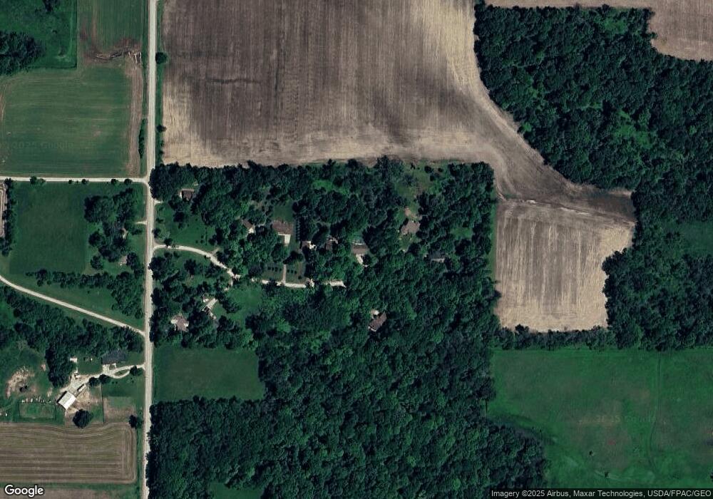
Map
Nearby Homes
- Lot 12 Arrowhead Ridge
- LOt 10 Arrowhead Ridge
- Lot 9 Arrowhead Ridge
- Lot 7 Arrowhead Ridge
- Lot 5 Arrowhead Ridge
- Lot 3 Arrowhead Ridge
- Lot 2 Arrowhead Ridge
- LOT 1 Arrowhead Ridge
- 8.97 U S 63
- 0 Arrowhead Ridge
- 239 W Franklin St
- 541 E Fayette St
- 0 State St Unit NBR20252861
- 750 E Fayette St
- 501 Lincoln St
- 800 S Mill St
- 230 Schumacher Blvd
- 810 S Mill St
- 820 S Mill St
- 830 S Mill St
- 107 Maple Ln
- 111 Maple Ln
- 108 Maple Ln
- 112 Maple Ln
- 105 Maple Ln
- 104 Maple Ln
- 103 Maple Ln
- 102 Maple Ln
- 2519 Killdeer Ave
- 2529 Killdeer Ave
- 2524 Killdeer Ave
- 2534 Killdeer Ave
- 310 Hillside Dr
- 109 Doe Ln
- 113 Doe Ln
- 2526 Killdeer Ave
- 106 Arrowhead Ridge Rd
- 115 Doe Ln
- 102 Arrowhead Ridge Rd
- 104 Arrowhead Ridge Rd