109 Marian Dell Ave Powhatan Point, OH 43942
Estimated Value: $146,000 - $160,819
4
Beds
3
Baths
1,052
Sq Ft
$143/Sq Ft
Est. Value
About This Home
This home is located at 109 Marian Dell Ave, Powhatan Point, OH 43942 and is currently estimated at $150,955, approximately $143 per square foot. 109 Marian Dell Ave is a home located in Belmont County with nearby schools including Powhatan Elementary School, River Elementary School, and Beallsville High School.
Ownership History
Date
Name
Owned For
Owner Type
Purchase Details
Closed on
Mar 18, 2021
Sold by
Alexander Glenna
Bought by
Alexander Maiso
Current Estimated Value
Purchase Details
Closed on
May 25, 2001
Sold by
Alexander Maiso and Alexander Glenna
Bought by
Alexander Maiso and Alexander Glenna
Purchase Details
Closed on
Jul 26, 1996
Sold by
Fisher David B and Fisher Lesley J
Bought by
Fisher David B and Fisher Lesley J
Purchase Details
Closed on
Jan 1, 1986
Sold by
Kahl William C and Kahl Misty D
Bought by
Kahl William C and Kahl Misty D
Create a Home Valuation Report for This Property
The Home Valuation Report is an in-depth analysis detailing your home's value as well as a comparison with similar homes in the area
Home Values in the Area
Average Home Value in this Area
Purchase History
| Date | Buyer | Sale Price | Title Company |
|---|---|---|---|
| Alexander Maiso | -- | None Available | |
| Alexander Maiso | $75,000 | -- | |
| Fisher David B | $72,900 | -- | |
| Kahl William C | -- | -- |
Source: Public Records
Tax History Compared to Growth
Tax History
| Year | Tax Paid | Tax Assessment Tax Assessment Total Assessment is a certain percentage of the fair market value that is determined by local assessors to be the total taxable value of land and additions on the property. | Land | Improvement |
|---|---|---|---|---|
| 2024 | $1,847 | $51,020 | $4,610 | $46,410 |
| 2023 | $1,767 | $45,890 | $3,820 | $42,070 |
| 2022 | $1,765 | $45,888 | $3,818 | $42,070 |
| 2021 | $1,760 | $45,916 | $3,818 | $42,098 |
| 2020 | $1,585 | $39,930 | $3,320 | $36,610 |
| 2019 | $1,588 | $39,930 | $3,320 | $36,610 |
| 2018 | $1,703 | $39,930 | $3,320 | $36,610 |
| 2017 | $1,796 | $42,630 | $4,710 | $37,920 |
| 2016 | $1,695 | $42,630 | $4,710 | $37,920 |
| 2015 | $1,734 | $42,630 | $4,710 | $37,920 |
| 2014 | $1,495 | $38,750 | $4,280 | $34,470 |
| 2013 | $1,522 | $38,750 | $4,280 | $34,470 |
Source: Public Records
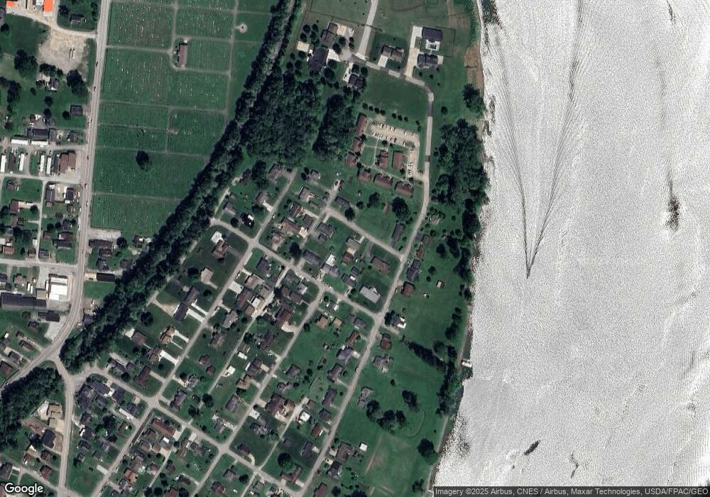
Map
Nearby Homes
- 110 Cove Dr
- 0 Clark St
- 315 Ohio 7
- 122 2nd St
- 122 3rd St
- 54885 Mount Victory Rd
- 252 Kansas Ridge Ln
- 0 Mount Victory Rd
- 54360 Mount Victory Rd
- 9 Gypsy Dr
- 4390 Taylors Ridge Rd
- 354 Clearview Heights Dr
- 21 Tharon Ln
- 53 Blue Jay Ln
- 2 Roberts Ridge Saint Joseph Rd
- 135 Windy Hollow Rd
- 49 Lavender Ln
- 85 Virginia Oaks Dr
- 4796 Big Grave Creek Rd
- 911 12th St
- 152 Elizabeth Ave
- 107 Marian Dell Ave
- 154 Elizabeth Ave
- 111 Marian Dell Ave
- 150 Elizabeth Ave
- 106 Marian Dell Ave
- 243 Belt St
- 156 Elizabeth Ave
- 152 Carrie St
- 232 Neff St
- 150 Carrie St
- 154 Carrie St
- 243 Neff St
- 218 Belt St
- 148 Elizabeth Ave
- 156 Carrie St
- 220 Belt St
- 216 Belt St
- 241 Neff St
- 230 Neff St