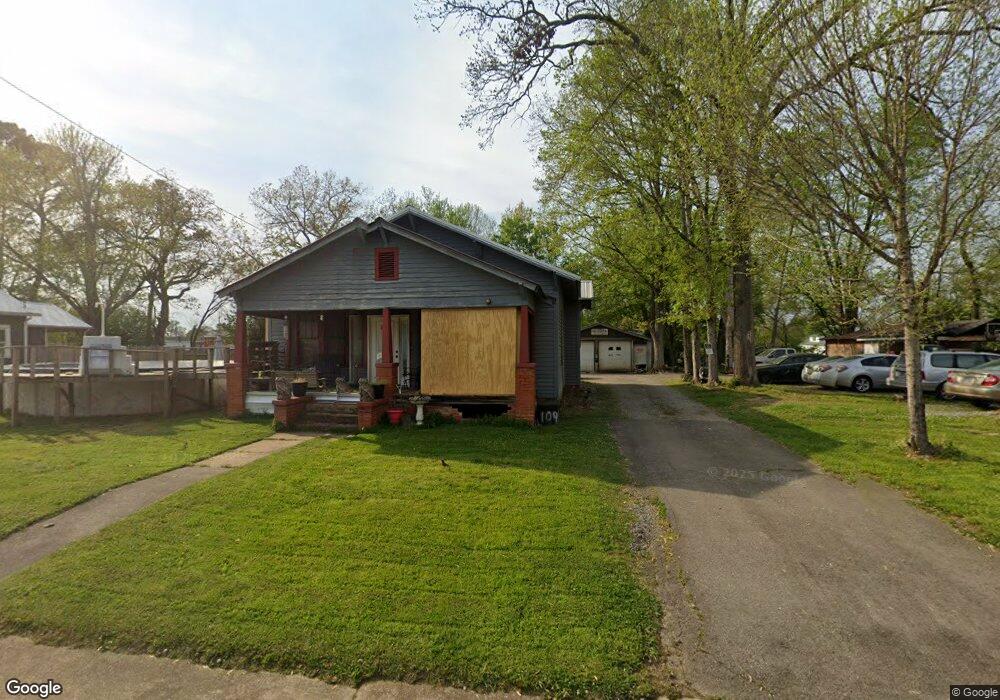
109 N Amhurst Place Englewood, TN 37329
Estimated Value: $130,525 - $222,000
--
Bed
1
Bath
1,188
Sq Ft
$149/Sq Ft
Est. Value
About This Home
This home is located at 109 N Amhurst Place, Englewood, TN 37329 and is currently estimated at $177,131, approximately $149 per square foot. 109 N Amhurst Place is a home located in McMinn County.
Ownership History
Date
Name
Owned For
Owner Type
Purchase Details
Closed on
Oct 7, 2009
Sold by
Martin Rudy M
Bought by
Schlink Dennis M
Current Estimated Value
Purchase Details
Closed on
Mar 10, 2009
Bought by
Partain Rudy M
Purchase Details
Closed on
Aug 6, 1993
Bought by
Martin Carrie N
Purchase Details
Closed on
Dec 5, 1991
Bought by
Martin Martin J and Martin Sadie
Purchase Details
Closed on
Aug 23, 1988
Bought by
Martin William Randall and Martin Cheryl
Create a Home Valuation Report for This Property
The Home Valuation Report is an in-depth analysis detailing your home's value as well as a comparison with similar homes in the area
Home Values in the Area
Average Home Value in this Area
Purchase History
| Date | Buyer | Sale Price | Title Company |
|---|---|---|---|
| Schlink Dennis M | $6,000 | -- | |
| Partain Rudy M | $1,600 | -- | |
| Martin Carrie N | $35,000 | -- | |
| Martin Martin J | $13,100 | -- | |
| Martin William Randall | -- | -- |
Source: Public Records
Tax History Compared to Growth
Tax History
| Year | Tax Paid | Tax Assessment Tax Assessment Total Assessment is a certain percentage of the fair market value that is determined by local assessors to be the total taxable value of land and additions on the property. | Land | Improvement |
|---|---|---|---|---|
| 2025 | $489 | $25,950 | $0 | $0 |
| 2024 | $489 | $25,950 | $5,000 | $20,950 |
| 2023 | $489 | $25,950 | $5,000 | $20,950 |
| 2022 | $385 | $13,450 | $3,050 | $10,400 |
| 2021 | $385 | $13,450 | $3,050 | $10,400 |
| 2020 | $385 | $13,450 | $3,050 | $10,400 |
| 2019 | $385 | $13,450 | $3,050 | $10,400 |
| 2018 | $385 | $13,450 | $3,050 | $10,400 |
| 2017 | $343 | $11,225 | $3,250 | $7,975 |
| 2016 | $343 | $11,225 | $3,250 | $7,975 |
| 2015 | -- | $11,225 | $3,250 | $7,975 |
| 2014 | $343 | $11,226 | $0 | $0 |
Source: Public Records
Map
Nearby Homes
- 302 N Amhurst Place
- 309 Englewood Ave
- 224 Pond St
- 0 Highway 39e Unit 1311542
- 1982 Tennessee 39
- 313 N Amhurst Place
- 0 Boyd St
- 110 Old Englewood Rd
- 121 N Niota Rd
- 413 Dodson Ave
- 25 Pangle St
- 118 Sunset Ave
- 111 Sunset Ave
- 302 Locust St
- 3242 U S 411
- 0 S Amhurst Place Unit 1273764
- 19 Mckinney St
- 520 Chestuee St
- 504 N Niota Rd
- 963 County Road 415
- 111 N Amhurst Place
- 0 Cr 550 Unit 606909
- 107 N Amhurst Place
- 107 S Amhurst Place
- 117 N Amhurst Place
- 117 S Amhurst Place
- 121 N Amhurst Place
- 103 N Amhurst Place
- 101 N Amhurst Place
- 122 N Amhurst Place
- 105 E Main St
- 103 E Main St
- 115 E Main St
- 0 Main St Unit 20130956
- 0 Main St Unit 833194
- 117 E Main St
- 23 E Main St
- 113 College St
- 106 Unak Ave
- 209 N Amhurst Place