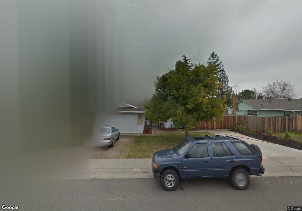
109 Perraud Dr Folsom, CA 95630
Estimated Value: $416,000 - $591,380
3
Beds
2
Baths
1,694
Sq Ft
$301/Sq Ft
Est. Value
About This Home
This home is located at 109 Perraud Dr, Folsom, CA 95630 and is currently estimated at $510,595, approximately $301 per square foot. 109 Perraud Dr is a home located in Sacramento County with nearby schools including Blanche Sprentz Elementary School, Sutter Middle School, and St. John Notre Dame.
Ownership History
Date
Name
Owned For
Owner Type
Purchase Details
Closed on
Jul 30, 2009
Sold by
Deming Vernon K and Helena R Beneke Revocable Trus
Bought by
Cahill Paul M and Cahill Margie J
Current Estimated Value
Home Financials for this Owner
Home Financials are based on the most recent Mortgage that was taken out on this home.
Original Mortgage
$112,000
Outstanding Balance
$73,396
Interest Rate
5.31%
Mortgage Type
Purchase Money Mortgage
Estimated Equity
$437,199
Purchase Details
Closed on
Mar 27, 2003
Sold by
Beneke Helena R
Bought by
Beneke Helena R and Helena R Beneke Revocable Trus
Create a Home Valuation Report for This Property
The Home Valuation Report is an in-depth analysis detailing your home's value as well as a comparison with similar homes in the area
Purchase History
| Date | Buyer | Sale Price | Title Company |
|---|---|---|---|
| Cahill Paul M | $140,000 | Chicago Title Company | |
| Beneke Helena R | -- | -- |
Source: Public Records
Mortgage History
| Date | Status | Borrower | Loan Amount |
|---|---|---|---|
| Open | Cahill Paul M | $112,000 |
Source: Public Records
Tax History
| Year | Tax Paid | Tax Assessment Tax Assessment Total Assessment is a certain percentage of the fair market value that is determined by local assessors to be the total taxable value of land and additions on the property. | Land | Improvement |
|---|---|---|---|---|
| 2025 | $3,223 | $301,724 | $109,714 | $192,010 |
| 2024 | $3,223 | $295,809 | $107,563 | $188,246 |
| 2023 | $3,166 | $290,009 | $105,454 | $184,555 |
| 2022 | $3,120 | $284,324 | $103,387 | $180,937 |
| 2021 | $3,079 | $278,750 | $101,360 | $177,390 |
| 2020 | $3,040 | $275,893 | $100,321 | $175,572 |
| 2019 | $2,990 | $270,484 | $98,354 | $172,130 |
| 2018 | $2,916 | $265,181 | $96,426 | $168,755 |
| 2017 | $2,719 | $259,983 | $94,536 | $165,447 |
| 2016 | $2,841 | $254,886 | $92,683 | $162,203 |
| 2015 | $2,584 | $236,283 | $91,291 | $144,992 |
| 2014 | $2,453 | $231,655 | $89,503 | $142,152 |
Source: Public Records
Map
Nearby Homes
- 110 Fargo Way
- 617 Wales Dr
- 205 Briarcliff Dr
- 260 Flower Dr
- 409 Wales Dr
- 167 Price Way
- 182 Price Way
- 98-98 1/2 Dean Way
- 219 Needles Way
- 510 Stafford St
- 306 Dean Way
- 115 Winchester Ct
- 0 Figueroa St Unit 225034113
- 100 Boxler Ct
- 692 Humbert St
- 102 Black Gold Ln
- 293 Leidesdorff St
- 1054 Ledgestone Dr
- 701 Ferrier Way
- 110 Lembi Dr
- 107 Perraud Dr
- 111 Perraud Dr
- 222 Montrose Dr
- 224 Montrose Dr
- 113 Perraud Dr
- 105 Perraud Dr
- 220 Montrose Dr
- 106 Perraud Dr
- 108 Perraud Dr
- 226 Montrose Dr
- 104 Perraud Dr
- 110 Perraud Dr
- 218 Montrose Dr
- 228 Montrose Dr
- 103 Perraud Dr
- 115 Perraud Dr
- 114 Perraud Dr
- 106 Sierra Woods Cir
- 108 Sierra Woods Cir
- 216 Montrose Dr
Your Personal Tour Guide
Ask me questions while you tour the home.