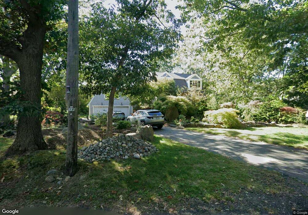
109 Phillips Ave Rockport, MA 01966
Estimated Value: $1,158,408 - $2,344,000
4
Beds
2
Baths
3,912
Sq Ft
$379/Sq Ft
Est. Value
About This Home
This home is located at 109 Phillips Ave, Rockport, MA 01966 and is currently estimated at $1,482,602, approximately $378 per square foot. 109 Phillips Ave is a home located in Essex County with nearby schools including Rockport Elementary School, Rockport Middle School, and Rockport High School.
Ownership History
Date
Name
Owned For
Owner Type
Purchase Details
Closed on
Jan 31, 2006
Sold by
Vance Morton L Jr Est and Tapley Laura C
Bought by
Francis Anthony
Current Estimated Value
Purchase Details
Closed on
May 19, 1994
Sold by
Stratton Barbara Est and Stratton Charlotte
Bought by
Grund Laura C and Grund Michael
Create a Home Valuation Report for This Property
The Home Valuation Report is an in-depth analysis detailing your home's value as well as a comparison with similar homes in the area
Home Values in the Area
Average Home Value in this Area
Purchase History
| Date | Buyer | Sale Price | Title Company |
|---|---|---|---|
| Francis Anthony | $620,000 | -- | |
| Francis Anthony | $620,000 | -- | |
| Grund Laura C | $249,900 | -- | |
| Grund Laura C | $249,900 | -- |
Source: Public Records
Mortgage History
| Date | Status | Borrower | Loan Amount |
|---|---|---|---|
| Open | Grund Laura C | $390,000 | |
| Closed | Grund Laura C | $410,000 |
Source: Public Records
Tax History Compared to Growth
Tax History
| Year | Tax Paid | Tax Assessment Tax Assessment Total Assessment is a certain percentage of the fair market value that is determined by local assessors to be the total taxable value of land and additions on the property. | Land | Improvement |
|---|---|---|---|---|
| 2025 | $8,123 | $927,300 | $404,300 | $523,000 |
| 2024 | $7,714 | $916,100 | $404,300 | $511,800 |
| 2023 | $7,160 | $759,300 | $332,900 | $426,400 |
| 2022 | $6,882 | $700,800 | $332,800 | $368,000 |
| 2021 | $6,500 | $667,400 | $316,900 | $350,500 |
| 2020 | $6,473 | $640,900 | $301,700 | $339,200 |
| 2019 | $6,253 | $634,200 | $302,300 | $331,900 |
| 2018 | $6,079 | $601,300 | $280,700 | $320,600 |
| 2017 | $5,975 | $529,700 | $254,700 | $275,000 |
| 2016 | $5,876 | $522,300 | $247,300 | $275,000 |
| 2015 | $5,172 | $470,200 | $247,300 | $222,900 |
| 2014 | $5,190 | $460,500 | $228,300 | $232,200 |
Source: Public Records
Map
Nearby Homes
- 13 Phillips Ave
- 25 Stockholm Ave
- 165 Granite St
- 2 Wharf Rd
- 2 Boulder Top
- 13 Rowe Point
- 26 Quarry Ridge Ln
- 40 Quarry Ridge Ln
- 63R Main St Unit 2
- 48 Rowley Shore
- 11 Atlantic Ave
- 2 Mount Pleasant St Unit 3
- 15 High St Unit D
- 6 Mount Locust Place Unit 2
- 5 Allen Ave
- 4 Norwood Ave
- 13 Pleasant St Unit 3
- 5 Marshall Ln
- 57 Mt Pleasant St Unit 2B
- 34 Mount Pleasant St
- 111 Phillips Ave
- 107 Phillips Ave
- 102 Phillips Ave
- 113 Phillips Ave
- 105 Phillips Ave
- 15 Ocean Ave
- 117 Phillips Ave
- 16 Ocean Ave
- 11 Ocean Ave
- 101 Phillips Ave
- 14 Ocean Ave
- 119 Phillips Ave
- 9 Ocean Ave
- 12 Ocean Ave
- 10 Ocean Ave
- 16 Mount Locust Ave
- 99 Phillips Ave
- 12 Haven Ave
- 14 Mount Locust Ave
- 103 Phillips Ave