109 Pointe Trinity Dr Strafford, NH 03884
Estimated Value: $1,254,000 - $1,729,000
3
Beds
5
Baths
2,908
Sq Ft
$525/Sq Ft
Est. Value
About This Home
This home is located at 109 Pointe Trinity Dr, Strafford, NH 03884 and is currently estimated at $1,527,684, approximately $525 per square foot. 109 Pointe Trinity Dr is a home located in Strafford County with nearby schools including Strafford School and Coe-Brown Northwood Academy.
Ownership History
Date
Name
Owned For
Owner Type
Purchase Details
Closed on
Mar 2, 2004
Sold by
Silva Robert B
Bought by
Whalen Michael T and Whalen Linda J S
Current Estimated Value
Home Financials for this Owner
Home Financials are based on the most recent Mortgage that was taken out on this home.
Original Mortgage
$250,000
Interest Rate
5.65%
Mortgage Type
Purchase Money Mortgage
Create a Home Valuation Report for This Property
The Home Valuation Report is an in-depth analysis detailing your home's value as well as a comparison with similar homes in the area
Home Values in the Area
Average Home Value in this Area
Purchase History
| Date | Buyer | Sale Price | Title Company |
|---|---|---|---|
| Whalen Michael T | $720,000 | -- |
Source: Public Records
Mortgage History
| Date | Status | Borrower | Loan Amount |
|---|---|---|---|
| Open | Whalen Michael T | $194,500 | |
| Closed | Whalen Michael T | $250,000 |
Source: Public Records
Tax History
| Year | Tax Paid | Tax Assessment Tax Assessment Total Assessment is a certain percentage of the fair market value that is determined by local assessors to be the total taxable value of land and additions on the property. | Land | Improvement |
|---|---|---|---|---|
| 2024 | $22,307 | $1,128,900 | $629,600 | $499,300 |
| 2023 | $20,987 | $1,125,900 | $629,600 | $496,300 |
| 2022 | $19,162 | $1,118,600 | $629,600 | $489,000 |
| 2021 | $20,649 | $1,118,600 | $629,600 | $489,000 |
| 2020 | $17,917 | $698,500 | $369,100 | $329,400 |
| 2019 | $16,394 | $698,500 | $369,100 | $329,400 |
| 2018 | $16,506 | $698,500 | $369,100 | $329,400 |
| 2016 | $14,843 | $698,500 | $369,100 | $329,400 |
| 2015 | $15,762 | $722,700 | $434,100 | $288,600 |
| 2014 | $16,738 | $722,700 | $434,100 | $288,600 |
| 2013 | $16,160 | $712,500 | $434,100 | $278,400 |
| 2012 | $15,946 | $712,500 | $434,100 | $278,400 |
Source: Public Records
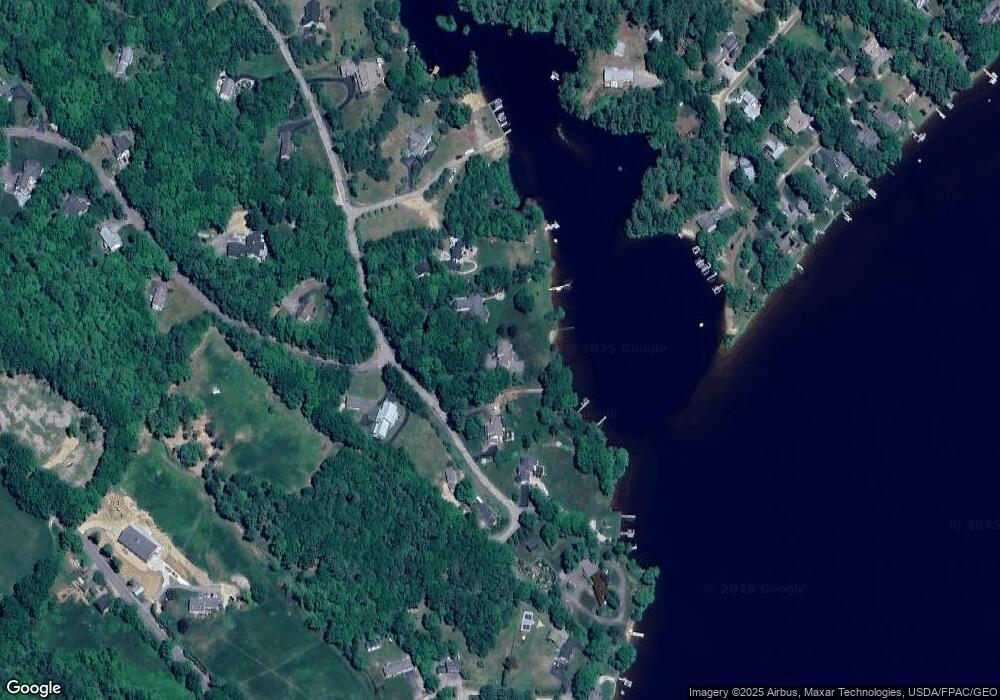
Map
Nearby Homes
- 114 Bow Lake Estates Rd
- 133 & 137 Browns Pasture Rd
- 129 Water St
- Map 3 Lot 18-2b and 18-2c Water St
- 1760 Province Rd
- 18 Collins Dr
- 0 1st New Hampshire Turnpike Unit 5026030
- 0 1st New Hampshire Turnpike Unit 5013320
- 26 Oak St
- 47 Elm St
- M37 L40 Beaver Rd
- 36 Leavitt Ln
- 11 Chestnut Ln
- 17 Brook Cir
- 19 Brook Cir
- 21 Brook Cir
- R11 07 Clough Rd
- 6 Murray Ln
- 94 Lakeshore Dr
- 295 1st New Hampshire Turnpike
- 99 Pointe Trinity Dr
- 117 Pointe Trinity Dr
- 95 Pointe Trinity Dr
- 104 Pointe Trinity Dr
- 104 Pointe Trinity Dr Unit A
- 125 Pointe Trinity Dr
- 140 Pointe Trinity Dr
- 92 Pointe Trinity Dr
- 85 Pointe Trinity Dr
- 127 Pointe Trinity Dr
- 104 Bow Lake Estates Rd
- 84 Pointe Trinity Dr
- 84 Pointe Trinity Dr Unit 1
- 74 Pointe Trinity Dr
- 41 Piper Dr
- 96 Bow Lake Estates Rd
- 96 Bow Lake Rd
- 71 Pointe Trinity Dr
- 106 Bow Lake Estates Rd
- 21 Piper Dr