Estimated Value: $399,000 - $506,067
2
Beds
2
Baths
1,584
Sq Ft
$274/Sq Ft
Est. Value
About This Home
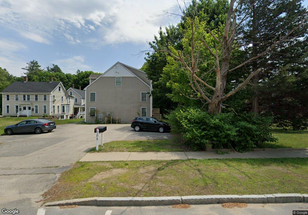
This home is located at 109 Portland Ave Unit B, Dover, NH 03820 and is currently estimated at $433,767, approximately $273 per square foot. 109 Portland Ave Unit B is a home located in Strafford County with nearby schools including Horne Street School, Dover Middle School, and Dover Senior High School.
Ownership History
Date
Name
Owned For
Owner Type
Purchase Details
Closed on
Mar 31, 2006
Sold by
Mcbeau Llc
Bought by
Goff David M
Current Estimated Value
Home Financials for this Owner
Home Financials are based on the most recent Mortgage that was taken out on this home.
Original Mortgage
$184,227
Interest Rate
6.32%
Create a Home Valuation Report for This Property
The Home Valuation Report is an in-depth analysis detailing your home's value as well as a comparison with similar homes in the area
Home Values in the Area
Average Home Value in this Area
Purchase History
| Date | Buyer | Sale Price | Title Company |
|---|---|---|---|
| Goff David M | $199,900 | -- |
Source: Public Records
Mortgage History
| Date | Status | Borrower | Loan Amount |
|---|---|---|---|
| Open | Goff David M | $180,150 | |
| Closed | Goff David M | $184,227 |
Source: Public Records
Tax History Compared to Growth
Tax History
| Year | Tax Paid | Tax Assessment Tax Assessment Total Assessment is a certain percentage of the fair market value that is determined by local assessors to be the total taxable value of land and additions on the property. | Land | Improvement |
|---|---|---|---|---|
| 2024 | $6,485 | $356,900 | $40,000 | $316,900 |
| 2023 | $5,874 | $314,100 | $36,000 | $278,100 |
| 2022 | $5,583 | $281,400 | $28,000 | $253,400 |
| 2021 | $5,451 | $251,200 | $31,000 | $220,200 |
| 2020 | $5,328 | $214,400 | $32,000 | $182,400 |
| 2019 | $5,209 | $206,800 | $28,000 | $178,800 |
| 2018 | $4,892 | $196,300 | $17,000 | $179,300 |
| 2017 | $4,760 | $184,000 | $10,000 | $174,000 |
| 2016 | $4,808 | $182,900 | $16,100 | $166,800 |
| 2015 | $4,596 | $172,700 | $10,000 | $162,700 |
| 2014 | $4,492 | $172,700 | $10,000 | $162,700 |
| 2011 | -- | $167,300 | $14,000 | $153,300 |
Source: Public Records
Map
Nearby Homes
- 23 Townsend Dr
- 3 Cocheco St
- 46-50 Cocheco St
- 24 Atlantic Ave
- 27 Atlantic Ave
- 8 Gerrys Ln
- 25 School St Unit 7
- 96 Broadway Unit 98
- Lot 8 Emerson Ridge Unit 8
- 45 New York St Unit 8
- 39 New York St
- Lot 6 Emerson Ridge Unit 6
- 36 Little Bay Dr
- 22 Little Bay Dr
- 98 Henry Law Ave Unit 28
- 47 Central Ave
- 18 5th St
- 36 Oak St
- 93 Henry Law Ave Unit Cricket Brook Condo
- 93 Henry Law Ave Unit 29
- 109 Portland Ave Unit D
- 109 Portland Ave Unit C
- 109 Portland Ave Unit A
- 109 Portland Ave Unit Dover Condo
- 109 Portland Ave Unit 3
- 109 Portland Ave Unit 109c
- 29 Townsend Dr
- 37 Townsend Dr
- 31 Townsend Dr
- 21 Townsend Dr
- 15 Townsend Dr
- 34 Townsend Dr
- 32 Townsend Dr
- 30 Townsend Dr
- 19 Townsend Dr
- 17 Townsend Dr
- 27 Townsend Dr
- 25 Townsend Dr
- 35 Townsend Dr
- 33 Townsend Dr