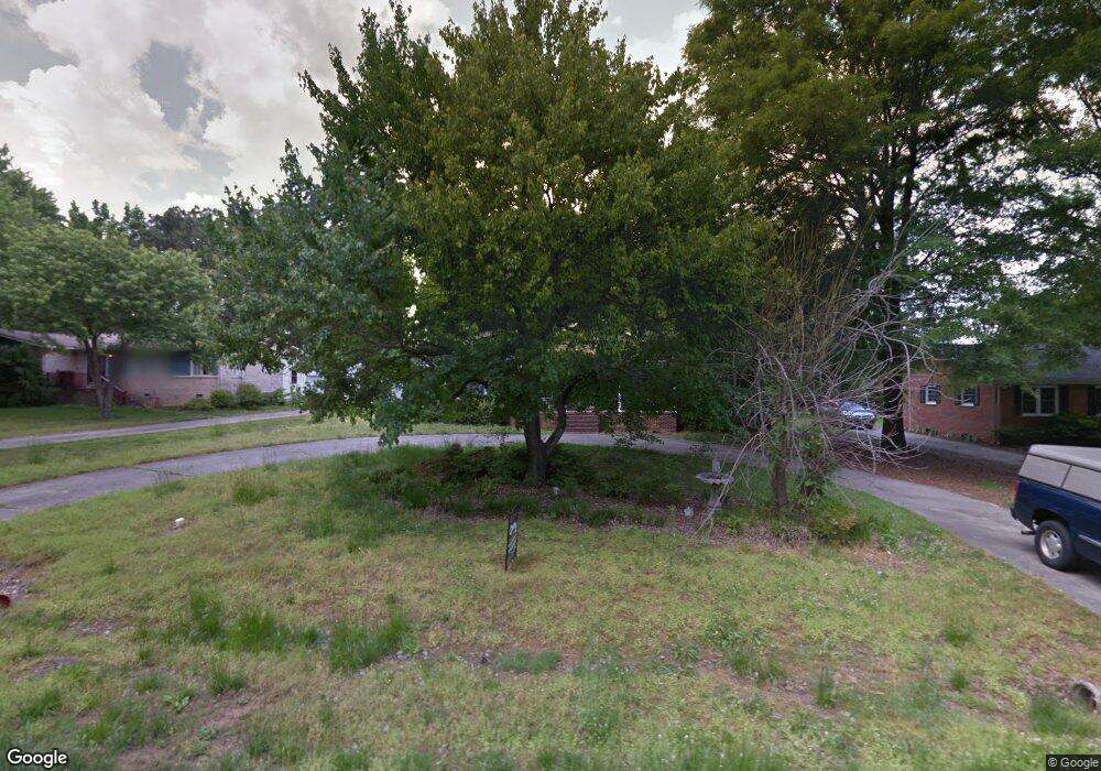
109 Robin Rd Oxford, NC 27565
Estimated Value: $275,244 - $294,000
3
Beds
2
Baths
1,652
Sq Ft
$172/Sq Ft
Est. Value
About This Home
This home is located at 109 Robin Rd, Oxford, NC 27565 and is currently estimated at $284,061, approximately $171 per square foot. 109 Robin Rd is a home located in Granville County with nearby schools including West Oxford Elementary School, Northern Granville Middle School, and J.F. Webb High School.
Ownership History
Date
Name
Owned For
Owner Type
Purchase Details
Closed on
Jul 13, 2016
Sold by
Thompson Roger Clifton
Bought by
Clark Tyrone and Clark Lawanda
Current Estimated Value
Home Financials for this Owner
Home Financials are based on the most recent Mortgage that was taken out on this home.
Original Mortgage
$137,464
Interest Rate
3.46%
Mortgage Type
FHA
Purchase Details
Closed on
Aug 8, 2006
Sold by
Lane Samel Graham and Lane Dianne N
Bought by
Thompson Clifton L and Thompson Eva C
Home Financials for this Owner
Home Financials are based on the most recent Mortgage that was taken out on this home.
Original Mortgage
$114,000
Interest Rate
6.74%
Mortgage Type
New Conventional
Create a Home Valuation Report for This Property
The Home Valuation Report is an in-depth analysis detailing your home's value as well as a comparison with similar homes in the area
Home Values in the Area
Average Home Value in this Area
Purchase History
| Date | Buyer | Sale Price | Title Company |
|---|---|---|---|
| Clark Tyrone | $140,000 | None Available | |
| Thompson Clifton L | $142,500 | -- |
Source: Public Records
Mortgage History
| Date | Status | Borrower | Loan Amount |
|---|---|---|---|
| Previous Owner | Clark Tyrone | $137,464 | |
| Previous Owner | Thompson Clifton L | $114,000 |
Source: Public Records
Tax History Compared to Growth
Tax History
| Year | Tax Paid | Tax Assessment Tax Assessment Total Assessment is a certain percentage of the fair market value that is determined by local assessors to be the total taxable value of land and additions on the property. | Land | Improvement |
|---|---|---|---|---|
| 2025 | $2,651 | $225,819 | $37,000 | $188,819 |
| 2024 | $2,651 | $225,819 | $37,000 | $188,819 |
| 2023 | $2,019 | $134,003 | $27,500 | $106,503 |
| 2022 | $2,008 | $134,003 | $27,500 | $106,503 |
| 2021 | $2,003 | $134,003 | $27,500 | $106,503 |
| 2020 | $2,003 | $134,003 | $27,500 | $106,503 |
| 2019 | $2,003 | $134,003 | $27,500 | $106,503 |
| 2018 | $2,003 | $134,003 | $27,500 | $106,503 |
| 2016 | $2,136 | $139,217 | $27,500 | $111,717 |
| 2015 | $2,062 | $139,217 | $27,500 | $111,717 |
| 2014 | $2,062 | $139,217 | $27,500 | $111,717 |
| 2013 | -- | $139,217 | $27,500 | $111,717 |
Source: Public Records
Map
Nearby Homes
- 206 Cardinal Ct
- 204 Cardinal Ct
- 609 N Country Club Dr
- 106 Keeneland Dr
- 316 Keeneland Dr
- 113 Phocian St
- 106 Della St
- 115 W Quail Ridge Rd
- 96 North St
- 103 Alston Ct
- 120 Clement Ave
- 300 Coleman St
- 735 Baker St
- 722 Baker St
- 120 W College St
- 616 Roxboro Rd
- 611 College St
- 114 Hays St
- 43 Church St
- 410 College St
- 111 Robin Rd
- 107 Robin Rd
- 0 Cardinal Ct Unit 665277
- 0 Cardinal Ct Unit 1952426
- 0 Cardinal Ct Unit 1948003
- 21 Cardinal Ct
- 0 Cardinal Ct Unit 20 TR1948003
- 0 Cardinal Ct Unit 21 TR1952426
- lot 21 Cardinal Ct
- 19 Cardinal Rd Unit 19 ab
- Lot 19 Cardinal Rd
- 00 Cardinal Rd
- 16-B Robin Rd
- 0000 Robin Rd
- 113 Robin Rd
- 105 Robin Rd
- 108 Robin Rd
- Lot 19 Cardinal Ct
- 19 Cardinal Ct
- 19 Cardinal Ct Unit 19 ab