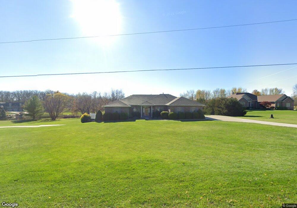
109 Rock Creek Loop Lansing, KS 66043
Estimated Value: $440,000 - $539,378
3
Beds
2
Baths
2,392
Sq Ft
$207/Sq Ft
Est. Value
About This Home
This home is located at 109 Rock Creek Loop, Lansing, KS 66043 and is currently estimated at $495,595, approximately $207 per square foot. 109 Rock Creek Loop is a home located in Leavenworth County with nearby schools including Lansing Elementary School, Lansing Middle 6-8, and Lansing High 9-12.
Ownership History
Date
Name
Owned For
Owner Type
Purchase Details
Closed on
May 1, 2005
Bought by
Hackworth Kenneth W and Hackworth Elizabeth Kaye
Current Estimated Value
Home Financials for this Owner
Home Financials are based on the most recent Mortgage that was taken out on this home.
Original Mortgage
$20,000
Interest Rate
5.33%
Mortgage Type
New Conventional
Create a Home Valuation Report for This Property
The Home Valuation Report is an in-depth analysis detailing your home's value as well as a comparison with similar homes in the area
Home Values in the Area
Average Home Value in this Area
Purchase History
| Date | Buyer | Sale Price | Title Company |
|---|---|---|---|
| Hackworth Kenneth W | $92,500 | -- |
Source: Public Records
Mortgage History
| Date | Status | Borrower | Loan Amount |
|---|---|---|---|
| Closed | Hackworth Kenneth W | $20,000 | |
| Closed | Hackworth Kenneth W | $305,000 |
Source: Public Records
Tax History Compared to Growth
Tax History
| Year | Tax Paid | Tax Assessment Tax Assessment Total Assessment is a certain percentage of the fair market value that is determined by local assessors to be the total taxable value of land and additions on the property. | Land | Improvement |
|---|---|---|---|---|
| 2025 | $7,720 | $56,718 | $8,693 | $48,025 |
| 2024 | $7,275 | $56,718 | $10,516 | $46,202 |
| 2023 | $7,275 | $55,614 | $10,516 | $45,098 |
| 2022 | $6,969 | $50,370 | $7,989 | $42,381 |
| 2021 | $6,875 | $47,564 | $7,989 | $39,575 |
| 2020 | $6,574 | $44,758 | $7,989 | $36,769 |
| 2019 | $6,272 | $42,662 | $7,989 | $34,673 |
| 2018 | $5,975 | $40,671 | $7,989 | $32,682 |
| 2017 | $5,812 | $39,486 | $7,989 | $31,497 |
| 2016 | $5,757 | $39,095 | $7,989 | $31,106 |
| 2015 | $5,740 | $39,095 | $10,153 | $28,942 |
| 2014 | $5,623 | $39,095 | $10,153 | $28,942 |
Source: Public Records
Map
Nearby Homes
- 131 Rock Creek Loop
- 115 W Gilman Rd
- 705 Rock Creek Dr
- 24431 139th St
- 875 Clearview Dr
- 13788 McIntyre2 Rd
- 13788 McIntyre1 Rd
- 13788 Mcintyre Rd
- 13965 Mc Intyre Rd
- 833 Rock Creek Dr
- 922 Southfork St
- 1221 S Desoto Rd
- 901 S Main St
- 722 Bittersweet Rd
- 811 4-H Rd
- 624 S Bittersweet Ln
- 104 Olive St
- 000 4-H Rd
- Lot 2 139th St
- 527 S Valley Dr
- 111 Rock Creek Loop
- 110 Rock Creek Loop
- 113 Rock Creek Loop
- 104 Rock Creek Loop
- 105 Rock Creek Loop
- 107 Rock Creek Loop
- 117 Rock Creek Loop
- 118 Rock Creek Loop
- 103 Rock Creek Loop
- 119 Rock Creek Loop
- 128 Rock Creek Loop
- 135 Rock Creek Loop
- 121 Rock Creek Loop
- 182 Canyon View Dr
- 123 Rock Creek Loop
- 180 Canyon View Dr
- 184 Canyon View Dr
- 178 Canyon View Dr
- 186 Canyon View Dr
- 176 Canyon View Dr