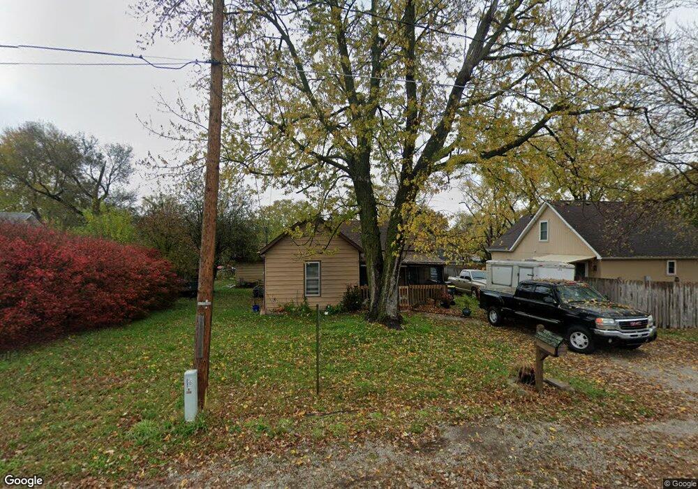
109 S 2nd St Lansing, KS 66043
Estimated Value: $147,000 - $181,000
2
Beds
1
Bath
1,022
Sq Ft
$157/Sq Ft
Est. Value
About This Home
This home is located at 109 S 2nd St, Lansing, KS 66043 and is currently estimated at $160,482, approximately $157 per square foot. 109 S 2nd St is a home located in Leavenworth County with nearby schools including Lansing Elementary School, Lansing Middle 6-8, and Lansing High 9-12.
Ownership History
Date
Name
Owned For
Owner Type
Purchase Details
Closed on
Oct 26, 2023
Sold by
Crawford Timothy R
Bought by
Tim Crawford Revocable Trust and Crawford
Current Estimated Value
Purchase Details
Closed on
Apr 15, 2021
Sold by
Crawford Brenda M
Bought by
Crawford Timothy R
Purchase Details
Closed on
May 1, 2004
Bought by
Crawford Timothy R and Crawford Brenda M
Home Financials for this Owner
Home Financials are based on the most recent Mortgage that was taken out on this home.
Original Mortgage
$71,250
Interest Rate
6.01%
Mortgage Type
New Conventional
Create a Home Valuation Report for This Property
The Home Valuation Report is an in-depth analysis detailing your home's value as well as a comparison with similar homes in the area
Home Values in the Area
Average Home Value in this Area
Purchase History
| Date | Buyer | Sale Price | Title Company |
|---|---|---|---|
| Tim Crawford Revocable Trust | -- | None Listed On Document | |
| Crawford Timothy R | -- | None Listed On Document | |
| Crawford Timothy R | $72,500 | -- |
Source: Public Records
Mortgage History
| Date | Status | Borrower | Loan Amount |
|---|---|---|---|
| Previous Owner | Crawford Timothy R | $71,250 | |
| Closed | Crawford Timothy R | $45,000 |
Source: Public Records
Tax History Compared to Growth
Tax History
| Year | Tax Paid | Tax Assessment Tax Assessment Total Assessment is a certain percentage of the fair market value that is determined by local assessors to be the total taxable value of land and additions on the property. | Land | Improvement |
|---|---|---|---|---|
| 2025 | $1,937 | $16,218 | $1,664 | $14,554 |
| 2024 | $1,835 | $15,157 | $1,664 | $13,493 |
| 2023 | $1,835 | $14,574 | $1,572 | $13,002 |
| 2022 | $1,765 | $13,249 | $1,381 | $11,868 |
| 2021 | $1,533 | $10,854 | $1,381 | $9,473 |
| 2020 | $1,442 | $10,062 | $1,381 | $8,681 |
| 2019 | $1,394 | $9,721 | $1,381 | $8,340 |
| 2018 | $1,244 | $8,711 | $1,381 | $7,330 |
| 2017 | $1,092 | $7,667 | $1,381 | $6,286 |
| 2016 | $1,081 | $7,591 | $1,381 | $6,210 |
| 2015 | $1,078 | $7,591 | $1,381 | $6,210 |
| 2014 | $1,161 | $8,326 | $1,381 | $6,945 |
Source: Public Records
Map
Nearby Homes
- 218 E Kay St
- 306 E Kay St
- 202 S Main St
- 310 E Kansas Ave
- 124 S Main St
- 546 Hithergreen Dr
- 104 Olive St
- 521 Hillbrook Dr
- 522 Forestglen Ln
- 129 Crestview Ct
- 527 S Valley Dr
- 129 Brookwood St
- 20958 Ida St
- 268 Holiday Dr
- 415 Fairlane St
- 922 Southfork St
- 1100 N 4th St
- 811 4-H Rd
- 1102 N 4th St
- 1102 N Main St