109 Shawhill Rd Rindge, NH 03461
Estimated Value: $612,743 - $731,000
4
Beds
3
Baths
2,800
Sq Ft
$240/Sq Ft
Est. Value
About This Home
This home is located at 109 Shawhill Rd, Rindge, NH 03461 and is currently estimated at $670,936, approximately $239 per square foot. 109 Shawhill Rd is a home located in Cheshire County with nearby schools including Rindge Memorial School, Conant Middle High School, and Conant High School.
Ownership History
Date
Name
Owned For
Owner Type
Purchase Details
Closed on
May 6, 2013
Sold by
Stenersen Kenton L and Stenersen Sandra L
Bought by
Hack David and Hack Paola Andrea
Current Estimated Value
Create a Home Valuation Report for This Property
The Home Valuation Report is an in-depth analysis detailing your home's value as well as a comparison with similar homes in the area
Home Values in the Area
Average Home Value in this Area
Purchase History
| Date | Buyer | Sale Price | Title Company |
|---|---|---|---|
| Hack David | $297,000 | -- | |
| Hack David | $297,000 | -- |
Source: Public Records
Mortgage History
| Date | Status | Borrower | Loan Amount |
|---|---|---|---|
| Closed | Hack David | $0 |
Source: Public Records
Tax History Compared to Growth
Tax History
| Year | Tax Paid | Tax Assessment Tax Assessment Total Assessment is a certain percentage of the fair market value that is determined by local assessors to be the total taxable value of land and additions on the property. | Land | Improvement |
|---|---|---|---|---|
| 2024 | $9,145 | $361,318 | $50,618 | $310,700 |
| 2023 | $9,052 | $361,491 | $50,791 | $310,700 |
| 2022 | $7,733 | $335,791 | $50,791 | $285,000 |
| 2021 | $7,606 | $335,791 | $50,791 | $285,000 |
| 2020 | $9,130 | $335,923 | $50,923 | $285,000 |
| 2019 | $7,026 | $253,091 | $39,691 | $213,400 |
| 2018 | $8,543 | $253,194 | $39,794 | $213,400 |
| 2017 | $6,880 | $253,029 | $39,629 | $213,400 |
| 2016 | $9,495 | $253,029 | $39,629 | $213,400 |
| 2015 | $7,057 | $253,029 | $39,629 | $213,400 |
| 2014 | $7,110 | $273,129 | $65,629 | $207,500 |
| 2013 | $6,959 | $273,345 | $65,845 | $207,500 |
Source: Public Records
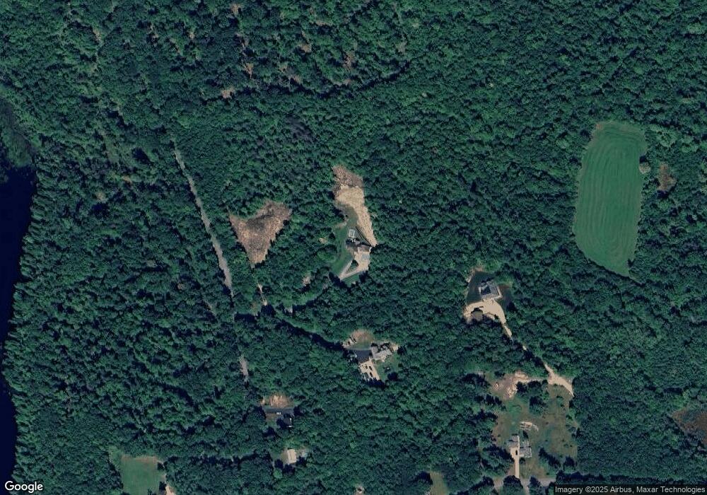
Map
Nearby Homes
- 286 Old New Ipswich Rd
- 20 Amalia Way
- 634 Old New Ipswich Rd
- 88 Drag Hill Rd
- 446 Squantum Rd
- 137 Prescott Rd
- 703 Old New Ipswich Rd
- 12 Mark St
- 769 Old New Ipswich Rd
- 54 Payson Hill Rd
- 57 Prescott Rd
- 16 Harriet Ln
- 94 Main St
- 243 Main St
- 113 Converseville Rd
- 17 Jowders Cove Rd
- 20 W Main St
- 18 Cat Tail Cir Unit 18
- 18 Cat Tail Cir
- 336 Main St
- 109 Shaw Hill Rd
- 111 Shaw Hill Rd
- 123 Shaw Hill Rd
- 137 Shaw Hill Rd
- 355 Old New Ipswich Rd
- 339 Old New Ipswich Rd
- 333 Old New Ipswich Rd
- 321 Old New Ipswich Rd
- 00 Old New Ipswich Rd
- 140 Old New Ipswich Rd
- 358 Old New Ipswich Rd
- 134 Shaw Hill Rd
- 316 Old New Ipswich Rd
- 84 Old New Ipswich Rd
- 360 Old New Ipswich Rd
- 372 Old New Ipswich Rd
- 305 Old New Ipswich Rd
- 306 Old New Ipswich Rd
- 382 Old New Ipswich Rd
- 297 Old New Ipswich Rd