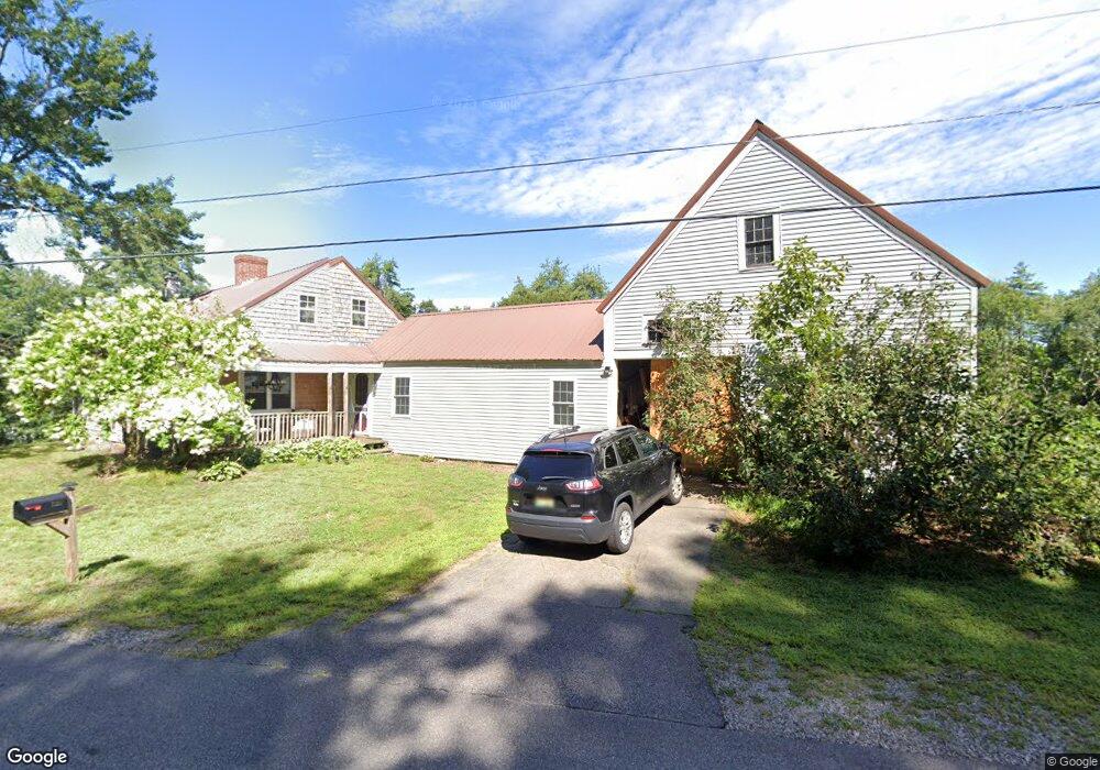
109 Thurrell Rd South Berwick, ME 03908
Estimated Value: $379,000 - $555,000
3
Beds
2
Baths
1,680
Sq Ft
$299/Sq Ft
Est. Value
About This Home
This home is located at 109 Thurrell Rd, South Berwick, ME 03908 and is currently estimated at $502,844, approximately $299 per square foot. 109 Thurrell Rd is a home located in York County with nearby schools including Marshwood High School.
Ownership History
Date
Name
Owned For
Owner Type
Purchase Details
Closed on
Jun 12, 2025
Sold by
Piscataqua Savings Bank
Bought by
Frechette Holdings Llc
Current Estimated Value
Purchase Details
Closed on
Jun 20, 2005
Sold by
Staples Elaine M and Staples Thomas P
Bought by
Kay Carlene
Home Financials for this Owner
Home Financials are based on the most recent Mortgage that was taken out on this home.
Original Mortgage
$309,185
Interest Rate
5%
Mortgage Type
Adjustable Rate Mortgage/ARM
Create a Home Valuation Report for This Property
The Home Valuation Report is an in-depth analysis detailing your home's value as well as a comparison with similar homes in the area
Home Values in the Area
Average Home Value in this Area
Purchase History
| Date | Buyer | Sale Price | Title Company |
|---|---|---|---|
| Frechette Holdings Llc | $320,000 | None Available | |
| Frechette Holdings Llc | $320,000 | None Available | |
| Frechette Holdings Llc | $320,000 | None Available | |
| Kay Carlene | -- | -- | |
| Kay Carlene | -- | -- | |
| Kay Carlene | -- | -- |
Source: Public Records
Mortgage History
| Date | Status | Borrower | Loan Amount |
|---|---|---|---|
| Previous Owner | Kay Carlene | $309,185 |
Source: Public Records
Tax History Compared to Growth
Tax History
| Year | Tax Paid | Tax Assessment Tax Assessment Total Assessment is a certain percentage of the fair market value that is determined by local assessors to be the total taxable value of land and additions on the property. | Land | Improvement |
|---|---|---|---|---|
| 2024 | $5,455 | $406,500 | $169,800 | $236,700 |
| 2023 | $5,006 | $358,600 | $148,600 | $210,000 |
| 2022 | $4,548 | $312,800 | $141,500 | $171,300 |
| 2021 | $4,524 | $291,100 | $128,800 | $162,300 |
| 2020 | $4,645 | $265,400 | $114,100 | $151,300 |
| 2019 | $4,649 | $247,300 | $103,700 | $143,600 |
| 2018 | $4,553 | $235,900 | $107,200 | $128,700 |
| 2017 | $4,482 | $235,900 | $107,200 | $128,700 |
| 2016 | $4,317 | $235,900 | $107,200 | $128,700 |
| 2015 | $4,199 | $235,900 | $107,200 | $128,700 |
| 2014 | $4,175 | $235,900 | $107,200 | $128,700 |
Source: Public Records
Map
Nearby Homes
- 100 Boyds Corner Rd
- 29 Great Hill Rd
- 23 Meader St
- 233 Wells St
- 17 Market St
- 22 Church Ave
- 38 High St
- 208 Knights Pond Rd
- 2668 Tatnic Rd
- 202 High St
- Lot #5 Adams Bridge Rd
- 331 Somersworth Rd
- 0016/001 Newhall Rd
- 1229 Bragdon Rd
- 30 Riverview Dr Unit D
- 94 Perry Oliver Rd
- 43 Knights Pond Rd
- 50 Webber Ridge Ln
- 0 Dragonfly Ln Unit 1584634
- Lot 13 Laney Ln
- 101 Thurrell Rd
- 95 Thurrell Rd
- 90 Thurrell Rd
- 61 Thurrell Rd
- Lot 1 Thurrell Rd
- Lot 2 Thurrell Rd
- 0ff Thurrell Rd
- Off Thurrell Rd
- Off Thurrell Rd
- 0 Thurrell Rd
- 2B Gray Hawk Ln
- 93 Thurrell
- 149 Thurrell Rd
- 140 Thurrell Rd
- 84 Thurrell Rd
- 11 Grayhawk Ln
- 5 Town Forest Rd
- 4 Town Forest Rd
- 7 Town Forest Rd
- 80 Thurrell Rd