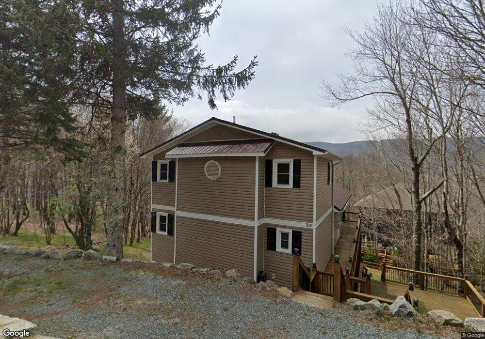
109 Upper Grouse Ridge Rd Beech Mountain, NC 28604
Estimated Value: $489,000 - $533,000
2
Beds
2
Baths
1,879
Sq Ft
$270/Sq Ft
Est. Value
About This Home
This home is located at 109 Upper Grouse Ridge Rd, Beech Mountain, NC 28604 and is currently estimated at $506,999, approximately $269 per square foot. 109 Upper Grouse Ridge Rd is a home located in Watauga County with nearby schools including Valle Crucis Elementary School and Watauga High School.
Ownership History
Date
Name
Owned For
Owner Type
Purchase Details
Closed on
Nov 2, 2023
Sold by
Moghaddam Mir K and Moghaddam Susan A
Bought by
Moghaddam Family Trust and Moghaddam
Current Estimated Value
Purchase Details
Closed on
May 10, 2005
Sold by
Kelly Morris C and Kelly Morris Joyce D
Bought by
Moghaddam Mir K and Moghaddam Susan A
Home Financials for this Owner
Home Financials are based on the most recent Mortgage that was taken out on this home.
Original Mortgage
$80,000
Interest Rate
5.88%
Mortgage Type
New Conventional
Create a Home Valuation Report for This Property
The Home Valuation Report is an in-depth analysis detailing your home's value as well as a comparison with similar homes in the area
Home Values in the Area
Average Home Value in this Area
Purchase History
We collect this data history from publicly available records. To have your information removed, we recommend requesting removal directly through your county’s website.
| Date | Buyer | Sale Price | Title Company |
|---|---|---|---|
| Moghaddam Family Trust | -- | None Listed On Document | |
| Moghaddam Mir K | $172,000 | None Available |
Source: Public Records
Mortgage History
We collect this data history from publicly available records. To have your information removed, we recommend requesting removal directly through your county’s website.
| Date | Status | Borrower | Loan Amount |
|---|---|---|---|
| Previous Owner | Moghaddam Mir K | $80,000 |
Source: Public Records
Tax History
| Year | Tax Paid | Tax Assessment Tax Assessment Total Assessment is a certain percentage of the fair market value that is determined by local assessors to be the total taxable value of land and additions on the property. | Land | Improvement |
|---|---|---|---|---|
| 2025 | $4,105 | $413,400 | $25,400 | $388,000 |
| 2024 | $4,105 | $413,400 | $25,400 | $388,000 |
| 2023 | $4,206 | $413,400 | $25,400 | $388,000 |
| 2022 | $4,206 | $413,400 | $25,400 | $388,000 |
| 2021 | $2,386 | $203,200 | $24,000 | $179,200 |
| 2020 | $2,386 | $203,200 | $24,000 | $179,200 |
| 2019 | $2,386 | $203,200 | $24,000 | $179,200 |
| 2018 | $2,151 | $190,900 | $24,000 | $166,900 |
| 2017 | $2,151 | $190,900 | $24,000 | $166,900 |
| 2013 | -- | $213,600 | $24,000 | $189,600 |
Source: Public Records
Map
Nearby Homes
- 103 & 105 Upper Grouse Ridge
- 102 Blackberry Trail
- 114 Windridge Rd
- 116 E Blueberry Ln
- 118 Overbrook Trail
- 111 Overbrook Trail
- 117 Wild Daisy Ln
- 125 Lower Grouse Ridge Rd
- 101 Doe Ln
- 129 Lower Grouse Ridge Rd
- 607 Charter Hills Rd
- 137 Wild Daisy Ln
- 701 Charter Hills Rd
- 134 Wild Daisy Ln
- TBD Staghorn Hollow
- 210 Overbrook Trail
- 216 Greenbriar Rd
- 269 Greenbriar Rd
- 192 Wild Daisy Ln
- 311 Overbrook Trail
- 112 Upper Grouse Ridge Rd
- 104 Lower Grouse Ridge Rd
- 111 Upper Grouse Ridge Rd
- 102 Lower Grouse Ridge Rd
- 106 Lower Grouse Ridge Rd
- 106 Lower Grouse Ridge Rd Unit 329
- 220 Spring Branch Rd
- 113 Upper Grouse Ridge Rd
- 108 Upper Grouse Ridge Rd
- 108 Lower Grouse Ridge Rd
- 103 Upper Grouse Ridge Rd
- 106 Upper Grouse Ridge Rd
- 200 Spring Branch Rd
- 115 Upper Grouse Ridge Rd
- 116 Upper Grouse Ridge Rd
- 3 Lower Grouse Ridge Rd
- 103 Windridge Rd
- 101 Upper Grouse Ridge Rd
- 102 Blackberry Trail Unit 235/C
- 202 Spring Branch Rd
Your Personal Tour Guide
Ask me questions while you tour the home.