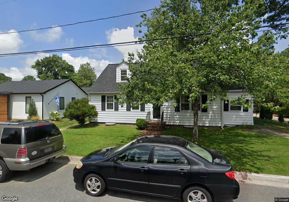
109 W Maple Ave Saint Michaels, MD 21663
Estimated Value: $533,570 - $874,000
--
Bed
2
Baths
1,790
Sq Ft
$385/Sq Ft
Est. Value
About This Home
This home is located at 109 W Maple Ave, Saint Michaels, MD 21663 and is currently estimated at $689,393, approximately $385 per square foot. 109 W Maple Ave is a home located in Talbot County with nearby schools including St. Michaels Elementary School, St. Michaels Middle/High School, and Easton High School.
Ownership History
Date
Name
Owned For
Owner Type
Purchase Details
Closed on
Dec 22, 2006
Sold by
Madert John H and Madert Antoinette A
Bought by
Madert John H
Current Estimated Value
Purchase Details
Closed on
Dec 15, 2006
Sold by
Madert John H and Madert Antoinette A
Bought by
Madert John H
Purchase Details
Closed on
Oct 29, 1985
Sold by
Schofield Perry
Bought by
Madert John H and Madert Antoinette A
Home Financials for this Owner
Home Financials are based on the most recent Mortgage that was taken out on this home.
Original Mortgage
$75,000
Interest Rate
12.07%
Create a Home Valuation Report for This Property
The Home Valuation Report is an in-depth analysis detailing your home's value as well as a comparison with similar homes in the area
Home Values in the Area
Average Home Value in this Area
Purchase History
| Date | Buyer | Sale Price | Title Company |
|---|---|---|---|
| Madert John H | -- | -- | |
| Madert John H | -- | -- | |
| Madert John H | $111,000 | -- |
Source: Public Records
Mortgage History
| Date | Status | Borrower | Loan Amount |
|---|---|---|---|
| Previous Owner | Madert John H | $75,000 |
Source: Public Records
Tax History Compared to Growth
Tax History
| Year | Tax Paid | Tax Assessment Tax Assessment Total Assessment is a certain percentage of the fair market value that is determined by local assessors to be the total taxable value of land and additions on the property. | Land | Improvement |
|---|---|---|---|---|
| 2025 | $2,062 | $396,900 | $152,400 | $244,500 |
| 2024 | $2,062 | $380,900 | $0 | $0 |
| 2023 | $1,920 | $364,900 | $0 | $0 |
| 2022 | $1,791 | $348,900 | $152,400 | $196,500 |
| 2021 | $1,752 | $341,367 | $0 | $0 |
| 2020 | $1,752 | $333,833 | $0 | $0 |
| 2019 | $1,740 | $326,300 | $133,000 | $193,300 |
| 2018 | $1,702 | $312,667 | $0 | $0 |
| 2017 | $1,643 | $299,033 | $0 | $0 |
| 2016 | $1,474 | $285,400 | $0 | $0 |
| 2015 | $1,575 | $285,500 | $0 | $0 |
| 2014 | $1,575 | $285,500 | $0 | $0 |
Source: Public Records
Map
Nearby Homes
- 105 Seymour Ave
- 107 E Chestnut St
- 106 Grace St
- 100 Grace St
- 0 Grace St Unit MDTA2012346
- Lot 16A Meadow St
- 704 Meadow St
- 222 E Chestnut St
- 807 Radcliff Ave
- 25500 Chance Farm Rd
- 207 Dodson Ave
- 408 Spinnaker Ln
- 912 Calvert Ave
- 300 Perry St
- 216 Brooks Ln
- 228 Tyler Ave
- 24390 Oakwood Park Rd
- 24318 Oakwood Park Rd
- 24912 Back Creek Dr
- 0 Pea Neck Rd Map 32 Parcel 76 Lot 2
- 111 W Maple Ave
- 701 Division St
- 110 W Marengo St
- 108 W Marengo St
- 112 W Marengo St
- 106 W Marengo St
- 104 W Marengo St
- 106 W Maple Ave
- 108 W Maple Ave
- 700 Division St
- 102 W Marengo St
- 104 W Maple Ave
- 107 Boundary Ln
- 201 Boundary Ln
- 109 W Marengo St
- 111 W Marengo St
- 105 W Marengo St
- 706 S Talbot St
- 107 W Marengo St
- 102 W Maple Ave