Estimated Value: $595,000 - $745,000
4
Beds
8
Baths
2,957
Sq Ft
$227/Sq Ft
Est. Value
About This Home
This home is located at 1090 280th St Unit 7, Jesup, IA 50648 and is currently estimated at $672,190, approximately $227 per square foot. 1090 280th St Unit 7 is a home located in Buchanan County with nearby schools including Jesup Elementary School, Jesup Middle School, and Jesup High School.
Ownership History
Date
Name
Owned For
Owner Type
Purchase Details
Closed on
Aug 12, 2014
Sold by
Ortner Chris M and Ortner Lesley A
Bought by
Hershberger Brian A and Hershberger Natalie M
Current Estimated Value
Home Financials for this Owner
Home Financials are based on the most recent Mortgage that was taken out on this home.
Original Mortgage
$285,000
Outstanding Balance
$217,231
Interest Rate
4.1%
Mortgage Type
New Conventional
Estimated Equity
$454,959
Purchase Details
Closed on
Aug 28, 2006
Sold by
Marks Kurtis J and Marks Sonya A
Bought by
Ortner Chris M and Ortner Lesley A
Create a Home Valuation Report for This Property
The Home Valuation Report is an in-depth analysis detailing your home's value as well as a comparison with similar homes in the area
Home Values in the Area
Average Home Value in this Area
Purchase History
| Date | Buyer | Sale Price | Title Company |
|---|---|---|---|
| Hershberger Brian A | $450,000 | None Available | |
| Ortner Chris M | $39,000 | None Available |
Source: Public Records
Mortgage History
| Date | Status | Borrower | Loan Amount |
|---|---|---|---|
| Open | Hershberger Brian A | $285,000 |
Source: Public Records
Tax History Compared to Growth
Tax History
| Year | Tax Paid | Tax Assessment Tax Assessment Total Assessment is a certain percentage of the fair market value that is determined by local assessors to be the total taxable value of land and additions on the property. | Land | Improvement |
|---|---|---|---|---|
| 2025 | $7,076 | $655,360 | $66,000 | $589,360 |
| 2024 | $7,076 | $543,550 | $53,790 | $489,760 |
| 2023 | $6,868 | $543,550 | $53,790 | $489,760 |
| 2022 | $6,348 | $444,890 | $43,000 | $401,890 |
| 2021 | $6,458 | $444,890 | $43,000 | $401,890 |
| 2020 | $6,458 | $420,520 | $39,000 | $381,520 |
| 2019 | $6,304 | $420,520 | $39,000 | $381,520 |
| 2018 | $5,538 | $409,370 | $39,000 | $370,370 |
| 2017 | $5,706 | $388,870 | $39,000 | $349,870 |
| 2016 | $5,536 | $402,610 | $29,160 | $373,450 |
| 2015 | $5,536 | $402,610 | $29,160 | $373,450 |
| 2014 | $5,686 | $402,610 | $29,160 | $373,450 |
Source: Public Records
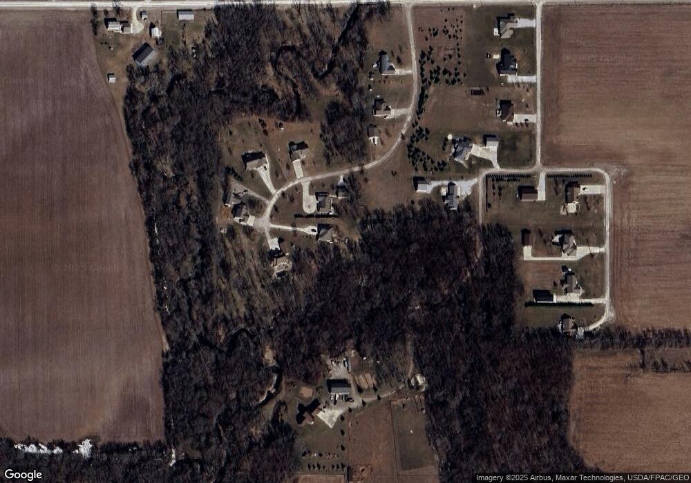
Map
Nearby Homes
- 00 Garling Rd
- 0 Tbd 325th St
- 0 Garling Rd
- 245 Bordner Dr
- 1715 11th St
- 1644 Killarney Dr
- 1655 Dalton St
- Lot 7 Dalton St
- 1645 Dalton St
- 705 South St
- 235 Bordner Dr
- 1545 Dalton St
- 1565 Dalton St
- 1555 Dalton St
- 1615 Dalton St
- Lot 1 Benson Shady Grove Ave
- Lot 4 Benson Shady Grove Ave
- Lot 2 Benson Shady Grove Ave
- 1634 11th St
- 0 Benson Ridge Addition Unit Lot 1 20224978
- 1090 280th St
- 1090 280th St Unit 8
- 1090 280th St Unit 5
- 1090 280th St Unit 6
- 1090 280th St Unit 9
- 1090 280th St Unit 4
- 1090 280th St Unit 3
- 1090 280th St Unit 1
- 1090 280th St Unit 2
- 1090 280th St
- 1090 280th St
- 1098 280th St
- 1098 280th St Unit Lot 1
- 1081 280th St
- 1110 280th St
- 1120 280th St
- 1120 280th St Unit Lot 3
- 13924 Jubilee Rd
- 1099 280th St
- 0 280th St Unit 15943