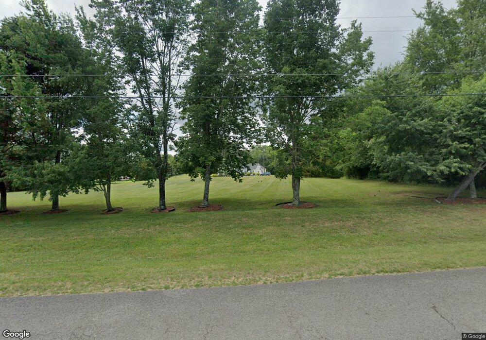
1090 Acorn Dr Lewisburg, TN 37091
Estimated Value: $382,000 - $448,257
--
Bed
1
Bath
2,292
Sq Ft
$184/Sq Ft
Est. Value
About This Home
This home is located at 1090 Acorn Dr, Lewisburg, TN 37091 and is currently estimated at $421,314, approximately $183 per square foot. 1090 Acorn Dr is a home with nearby schools including Marshall Elementary School, Oak Grove Elementary School, and Westhills Elementary School.
Ownership History
Date
Name
Owned For
Owner Type
Purchase Details
Closed on
Jan 20, 2023
Sold by
Bey Aliahu
Bought by
Bey Family Holdings Llc
Current Estimated Value
Purchase Details
Closed on
Oct 7, 2015
Sold by
Foxx Calvin
Bought by
Lewis Derick Dionn
Home Financials for this Owner
Home Financials are based on the most recent Mortgage that was taken out on this home.
Original Mortgage
$175,835
Interest Rate
3.94%
Mortgage Type
New Conventional
Purchase Details
Closed on
Jan 19, 2006
Bought by
Foxx Calvin and Foxx Lela
Create a Home Valuation Report for This Property
The Home Valuation Report is an in-depth analysis detailing your home's value as well as a comparison with similar homes in the area
Home Values in the Area
Average Home Value in this Area
Purchase History
| Date | Buyer | Sale Price | Title Company |
|---|---|---|---|
| Bey Family Holdings Llc | -- | -- | |
| Lewis Derick Dionn | $171,000 | -- | |
| Foxx Calvin | $20,000 | -- |
Source: Public Records
Mortgage History
| Date | Status | Borrower | Loan Amount |
|---|---|---|---|
| Previous Owner | Lewis Derick Dionn | $175,835 |
Source: Public Records
Tax History Compared to Growth
Tax History
| Year | Tax Paid | Tax Assessment Tax Assessment Total Assessment is a certain percentage of the fair market value that is determined by local assessors to be the total taxable value of land and additions on the property. | Land | Improvement |
|---|---|---|---|---|
| 2024 | -- | $101,075 | $16,000 | $85,075 |
| 2023 | $3,137 | $101,075 | $16,000 | $85,075 |
| 2022 | $3,137 | $101,075 | $16,000 | $85,075 |
| 2021 | $2,703 | $58,100 | $5,600 | $52,500 |
| 2020 | $2,703 | $58,100 | $5,600 | $52,500 |
| 2019 | $2,616 | $58,100 | $5,600 | $52,500 |
| 2018 | $2,544 | $57,150 | $5,600 | $51,550 |
| 2017 | $2,544 | $57,150 | $5,600 | $51,550 |
| 2016 | $2,390 | $46,675 | $5,050 | $41,625 |
| 2015 | $2,180 | $46,675 | $5,050 | $41,625 |
| 2014 | $2,180 | $46,675 | $5,050 | $41,625 |
Source: Public Records
Map
Nearby Homes
- 1204 Glenn Ave
- 1025 Glenn Ave
- 1329 Amberwood Ct
- 966 Sumerset Cir
- 655 Glenn Ave
- 635 Jerre Ln
- 620 Jerre Ln
- 1144 Apple St
- 1465 New Columbia Hwy
- 630 6th Ave N
- 627 6th Ave N
- 1333 Churchill Ln
- 1335 Churchill Ln
- 1337 Churchill Ln
- 1339 Churchill Ln
- 1341 Churchill Ln
- 1343 Churchill Ln
- 1345 Churchill Ln
- 1462 Lexington Way
- 1464 Lexington Way
- 1208 Glenn Ave
- 1120 Glenn Ave
- 1212 Glenn Ave
- 1110 Glenn Ave
- 1205 Glenn Ave
- 1215 Glenn Ave
- 1119 Glenn Ave
- 1028 Glenn Ave
- 1115 Glenn Ave
- 1305 Glenn Ave
- 1309 Glenn Ave
- 1290 Glenn Ave
- 998 Sumerset Cir
- 1000 Sumerset Cir
- 1294 Glenn Ave
- 1319 Glenn Ave
- 1110 Dodson Dr
- 1020 Glenn Ave
- 1120 Dodson Dr
- 996 Sumerset Cir
