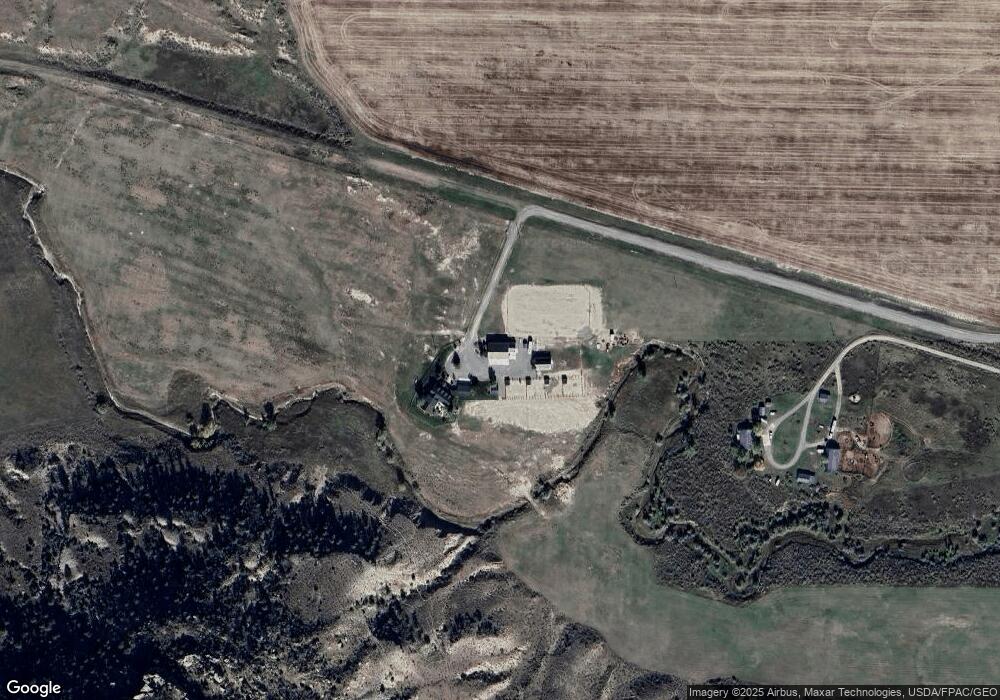
1090 Buffalo Trail Rd Molt, MT 59057
Estimated Value: $897,000 - $1,699,533
4
Beds
5
Baths
5,339
Sq Ft
$222/Sq Ft
Est. Value
About This Home
This home is located at 1090 Buffalo Trail Rd, Molt, MT 59057 and is currently estimated at $1,183,844, approximately $221 per square foot. 1090 Buffalo Trail Rd is a home located in Yellowstone County with nearby schools including Elder Grove Elementary School and Billings West High School.
Ownership History
Date
Name
Owned For
Owner Type
Purchase Details
Closed on
Apr 3, 2024
Sold by
Elgas Davis and Elgas Jamie
Bought by
Skv Trust
Current Estimated Value
Purchase Details
Closed on
Mar 6, 2006
Sold by
Kaseman Claude D
Bought by
Kaseman Claude D and Kaseman Donna K
Create a Home Valuation Report for This Property
The Home Valuation Report is an in-depth analysis detailing your home's value as well as a comparison with similar homes in the area
Home Values in the Area
Average Home Value in this Area
Purchase History
| Date | Buyer | Sale Price | Title Company |
|---|---|---|---|
| Skv Trust | -- | None Listed On Document | |
| Kaseman Claude D | -- | None Available |
Source: Public Records
Tax History Compared to Growth
Tax History
| Year | Tax Paid | Tax Assessment Tax Assessment Total Assessment is a certain percentage of the fair market value that is determined by local assessors to be the total taxable value of land and additions on the property. | Land | Improvement |
|---|---|---|---|---|
| 2025 | $5,626 | $1,227,600 | $128,375 | $1,099,225 |
| 2024 | $5,626 | $844,300 | $87,533 | $756,767 |
| 2023 | $5,670 | $844,300 | $87,533 | $756,767 |
| 2022 | $4,674 | $574,800 | $0 | $0 |
| 2021 | $4,675 | $574,800 | $0 | $0 |
| 2020 | $4,893 | $546,400 | $0 | $0 |
| 2019 | $4,779 | $546,400 | $0 | $0 |
| 2018 | $5,155 | $589,700 | $0 | $0 |
| 2017 | $3,984 | $589,700 | $0 | $0 |
| 2016 | $3,812 | $561,600 | $0 | $0 |
| 2015 | $3,811 | $561,600 | $0 | $0 |
| 2014 | $3,427 | $264,841 | $0 | $0 |
Source: Public Records
Map
Nearby Homes
- Parcel 20 Stephen Ln
- Parcel 19 Stephen Ln
- 3500 Buffalo Trail Rd
- 4355 S Mountain View Rd
- 13960 N Cedar Cir
- 8542 Monad Rd
- Parcel 16 Mountain View Rd
- 4140 Valley Canyon Ranch Rd
- 8428 Stillwater Dr
- 4040 Valley Canyon Ranch Rd
- 3920 Valley Canyon Ranch
- 545 Pike Ct
- 8242 Wisner Ave
- 243 S 80th St W
- 8129 Wisner Ave
- 7906 Monad Rd
- 8405 Blue Marlin Dr
- 7824 Penta Cir
- TBD Wisner Ave
- 7920 Eland Ave