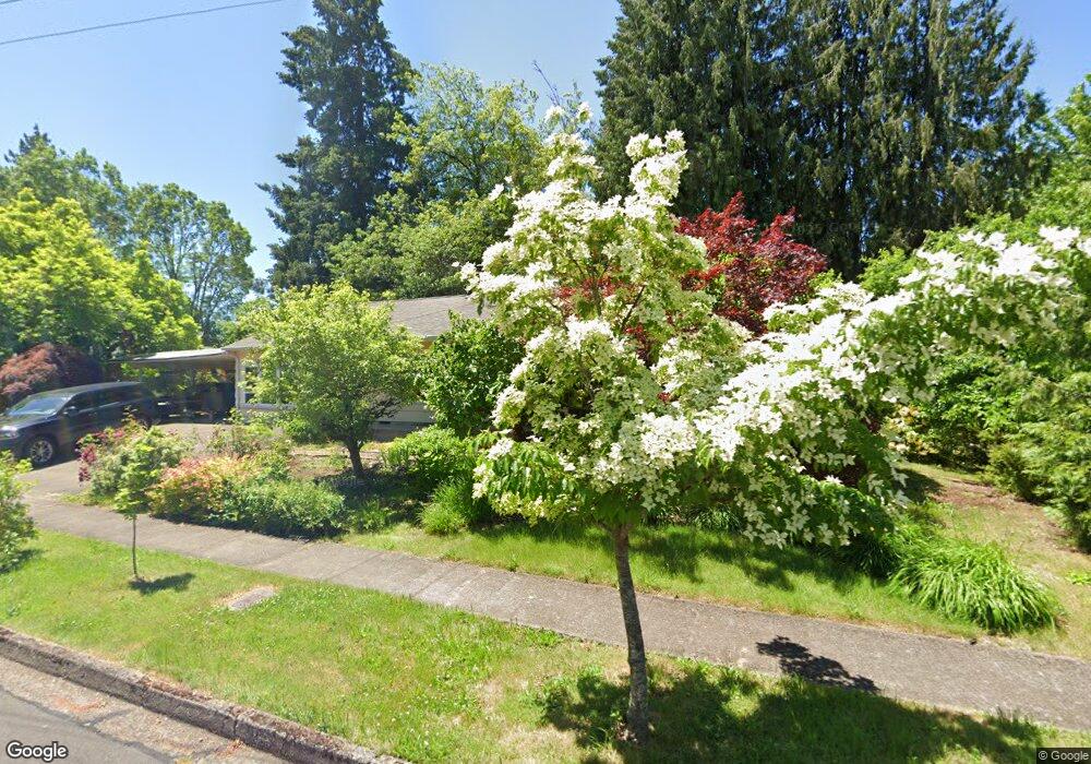
1090 Corydon St Eugene, OR 97401
Cal Young NeighborhoodEstimated Value: $538,000 - $591,000
4
Beds
2
Baths
2,264
Sq Ft
$249/Sq Ft
Est. Value
About This Home
This home is located at 1090 Corydon St, Eugene, OR 97401 and is currently estimated at $563,240, approximately $248 per square foot. 1090 Corydon St is a home located in Lane County with nearby schools including Willagillespie Elementary School, Monroe Middle School, and Sheldon High School.
Ownership History
Date
Name
Owned For
Owner Type
Purchase Details
Closed on
Feb 16, 2017
Sold by
Rodda Peter U and Scarpaci Vicenza
Bought by
Furst Steven David and Furst Diane Lind
Current Estimated Value
Home Financials for this Owner
Home Financials are based on the most recent Mortgage that was taken out on this home.
Original Mortgage
$217,000
Outstanding Balance
$178,828
Interest Rate
4.12%
Mortgage Type
New Conventional
Estimated Equity
$384,412
Purchase Details
Closed on
Dec 11, 2014
Sold by
Rodda Peter U and Scarpaci Vincenza
Bought by
Rodda Peter U and Scarpaci Vincenza
Purchase Details
Closed on
Nov 12, 1997
Sold by
Johnston Robyn R and Peters Robyn R
Bought by
Rodda Peter U and Scarpaci Vincenza
Home Financials for this Owner
Home Financials are based on the most recent Mortgage that was taken out on this home.
Original Mortgage
$64,900
Interest Rate
6.79%
Create a Home Valuation Report for This Property
The Home Valuation Report is an in-depth analysis detailing your home's value as well as a comparison with similar homes in the area
Home Values in the Area
Average Home Value in this Area
Purchase History
| Date | Buyer | Sale Price | Title Company |
|---|---|---|---|
| Furst Steven David | $310,000 | Western Title & Escrow Co | |
| Rodda Peter U | -- | None Available | |
| Rodda Peter U | $144,900 | Western Pioneer Title Co |
Source: Public Records
Mortgage History
| Date | Status | Borrower | Loan Amount |
|---|---|---|---|
| Open | Furst Steven David | $217,000 | |
| Previous Owner | Rodda Peter U | $64,900 |
Source: Public Records
Tax History
| Year | Tax Paid | Tax Assessment Tax Assessment Total Assessment is a certain percentage of the fair market value that is determined by local assessors to be the total taxable value of land and additions on the property. | Land | Improvement |
|---|---|---|---|---|
| 2025 | $5,054 | $259,386 | -- | -- |
| 2024 | $4,991 | $251,832 | -- | -- |
| 2023 | $4,991 | $244,498 | $0 | $0 |
| 2022 | $4,676 | $237,377 | $0 | $0 |
| 2021 | $4,392 | $230,464 | $0 | $0 |
| 2020 | $4,407 | $223,752 | $0 | $0 |
| 2019 | $4,256 | $217,235 | $0 | $0 |
| 2018 | $4,007 | $204,765 | $0 | $0 |
| 2017 | $3,827 | $204,765 | $0 | $0 |
| 2016 | $3,701 | $198,801 | $0 | $0 |
| 2015 | $3,572 | $193,011 | $0 | $0 |
| 2014 | $3,502 | $187,389 | $0 | $0 |
Source: Public Records
Map
Nearby Homes
- 950 Coburg Rd
- 820 Lariat Dr
- 2355 Pioneer Pike
- 600 Cherry Dr Unit 8
- 2872 Suffolk Ct
- 347 Rustic Place Unit 14
- 3025 Bailey Ln
- 2150 Greenview St
- 863 Fairway View Dr
- 2994 Dapple Way
- 280 Regal Ct
- 0 Cal Young Rd Unit Lot 4
- 341 Ransom Ct
- 2065 Providence St
- 0 Sprig Ln Unit Lot 3
- 0 Sprig Ln Unit Lot 3 766109892
- 3090 Willakenzie Rd
- 1038 President St
- 825 Waverly St
- 1491 Victorian Way
- 2520 Forrester Way
- 1050 Corydon St
- 2610 Forrester Way
- 2500 Forrester Way
- 2583 Forrester Way
- 1040 Corydon St
- 2603 Forrester Way
- 1055 Corydon St
- 2553 Forrester Way
- 1033 Forrester Way
- 2630 Forrester Way
- 2613 Forrester Way
- 2515 Forrester Way
- 1015 Forrester Way
- 2585 Tandy Turn
- 2615 Tandy Turn
- 2637 Forrester Way
- 2590 Sharon Way
- 2645 Tandy Turn
- 2640 Forrester Way
Your Personal Tour Guide
Ask me questions while you tour the home.